2456 Robin Way Manasquan, NJ 08736
Estimated Value: $814,000 - $851,000
3
Beds
2
Baths
2,046
Sq Ft
$409/Sq Ft
Est. Value
About This Home
This home is located at 2456 Robin Way, Manasquan, NJ 08736 and is currently estimated at $837,577, approximately $409 per square foot. 2456 Robin Way is a home located in Monmouth County with nearby schools including Wall High School and The Brookside School.
Ownership History
Date
Name
Owned For
Owner Type
Purchase Details
Closed on
Oct 29, 1997
Sold by
Hovnanian K
Bought by
Hayes Thomas and Hayes Rita
Current Estimated Value
Home Financials for this Owner
Home Financials are based on the most recent Mortgage that was taken out on this home.
Original Mortgage
$180,000
Outstanding Balance
$29,410
Interest Rate
7.23%
Estimated Equity
$808,167
Create a Home Valuation Report for This Property
The Home Valuation Report is an in-depth analysis detailing your home's value as well as a comparison with similar homes in the area
Home Values in the Area
Average Home Value in this Area
Purchase History
| Date | Buyer | Sale Price | Title Company |
|---|---|---|---|
| Hayes Thomas | $228,685 | -- |
Source: Public Records
Mortgage History
| Date | Status | Borrower | Loan Amount |
|---|---|---|---|
| Open | Hayes Thomas | $180,000 |
Source: Public Records
Tax History Compared to Growth
Tax History
| Year | Tax Paid | Tax Assessment Tax Assessment Total Assessment is a certain percentage of the fair market value that is determined by local assessors to be the total taxable value of land and additions on the property. | Land | Improvement |
|---|---|---|---|---|
| 2025 | $9,896 | $469,000 | $245,000 | $224,000 |
| 2024 | $9,600 | $469,000 | $245,000 | $224,000 |
| 2023 | $9,600 | $469,000 | $245,000 | $224,000 |
| 2022 | $9,366 | $469,000 | $245,000 | $224,000 |
| 2021 | $9,366 | $469,000 | $245,000 | $224,000 |
| 2020 | $9,253 | $469,000 | $245,000 | $224,000 |
| 2019 | $9,141 | $469,000 | $245,000 | $224,000 |
| 2018 | $9,061 | $469,000 | $245,000 | $224,000 |
| 2017 | $8,883 | $469,000 | $245,000 | $224,000 |
| 2016 | $8,695 | $469,000 | $245,000 | $224,000 |
| 2015 | $8,381 | $284,100 | $110,500 | $173,600 |
| 2014 | $8,338 | $289,100 | $115,500 | $173,600 |
Source: Public Records
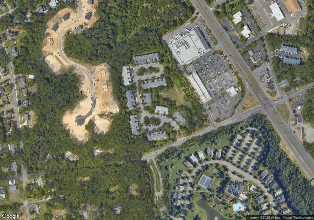
Map
Nearby Homes
- 2412 Greentree Dr
- 1551 Holly Blvd
- 1590 Holly Blvd
- 2511 Morningstar Rd
- 2510 Morningstar Rd
- 1422 Lakewood Rd
- 1544 Harvest Ln
- 2573 Curriers Place
- 2578 Collier Rd
- 1041 Oval Rd Unit 5
- 432 Oval Rd
- 2528 River Rd
- 1307 W Union Ln Unit A4
- Kensington Plan at The Monmouth - The Villas 55+
- 1210 Bayberry Rd
- 20 Maple Ln Unit D
- 1215 Church St
- 29 Mulberry Ct Unit D
- 2567 River Rd
- 203 Lenape Trail
- 2458 Robin Way
- 2460 Robin Way Unit 2C
- 2462 Robin Way
- 2446 Robin Way
- 2444 Robin Way
- 2442 Robin Way Unit 6B
- 2440 Robin Way
- 2464 Robin Way
- 2466 Robin Way
- 2468 Robin Way
- 2467 Dovetail Ct Unit 3B
- 2469 Dovetail Ct
- 2465 Dovetail Ct
- 2447 Dovetail Ct
- 2414 Robin Way
- 2412 Robin Way
- 2416 Robin Way
- 2463 Dovetail Ct
- 2449 Dovetail Ct
- 2445 Robin Way Unit 5A