Estimated Value: $171,612 - $186,000
2
Beds
2
Baths
1,024
Sq Ft
$176/Sq Ft
Est. Value
About This Home
This home is located at 2456 Wrens Dr S, Stow, OH 44224 and is currently estimated at $180,153, approximately $175 per square foot. 2456 Wrens Dr S is a home located in Summit County with nearby schools including Stow-Munroe Falls High School, Primrose School of Hudson, and Holy Family Elementary School.
Ownership History
Date
Name
Owned For
Owner Type
Purchase Details
Closed on
Oct 30, 2014
Sold by
Carter Lindsay and Mckinnon Lindsay N
Bought by
Mckinnon Jaimie A and Mckinnon Lindsay N
Current Estimated Value
Purchase Details
Closed on
Jun 27, 2001
Sold by
Jean Gosselin Mary Jean and Jean Mary
Bought by
Carter Lindsay N
Home Financials for this Owner
Home Financials are based on the most recent Mortgage that was taken out on this home.
Original Mortgage
$95,501
Outstanding Balance
$36,911
Interest Rate
7.18%
Mortgage Type
FHA
Estimated Equity
$143,242
Purchase Details
Closed on
Aug 29, 1996
Sold by
Utterback George W
Bought by
Gosselin Mary J
Home Financials for this Owner
Home Financials are based on the most recent Mortgage that was taken out on this home.
Original Mortgage
$72,000
Interest Rate
7%
Mortgage Type
New Conventional
Create a Home Valuation Report for This Property
The Home Valuation Report is an in-depth analysis detailing your home's value as well as a comparison with similar homes in the area
Home Values in the Area
Average Home Value in this Area
Purchase History
| Date | Buyer | Sale Price | Title Company |
|---|---|---|---|
| Mckinnon Jaimie A | -- | None Available | |
| Carter Lindsay N | $97,000 | Village Title Agency | |
| Gosselin Mary J | $90,000 | -- |
Source: Public Records
Mortgage History
| Date | Status | Borrower | Loan Amount |
|---|---|---|---|
| Open | Carter Lindsay N | $95,501 | |
| Previous Owner | Gosselin Mary J | $72,000 |
Source: Public Records
Tax History Compared to Growth
Tax History
| Year | Tax Paid | Tax Assessment Tax Assessment Total Assessment is a certain percentage of the fair market value that is determined by local assessors to be the total taxable value of land and additions on the property. | Land | Improvement |
|---|---|---|---|---|
| 2025 | $6,329 | $49,813 | $9,391 | $40,422 |
| 2024 | $3,138 | $49,813 | $9,391 | $40,422 |
| 2023 | $6,329 | $49,813 | $9,391 | $40,422 |
| 2022 | $2,758 | $38,112 | $7,168 | $30,944 |
| 2021 | $2,530 | $38,112 | $7,168 | $30,944 |
| 2020 | $2,228 | $38,110 | $7,170 | $30,940 |
| 2019 | $2,004 | $31,970 | $6,960 | $25,010 |
| 2018 | $2,224 | $31,970 | $6,960 | $25,010 |
| 2017 | $1,822 | $31,970 | $6,960 | $25,010 |
| 2016 | $1,872 | $28,600 | $6,960 | $21,640 |
| 2015 | $1,822 | $28,600 | $6,960 | $21,640 |
| 2014 | $1,823 | $28,600 | $6,960 | $21,640 |
| 2013 | $1,940 | $30,700 | $6,960 | $23,740 |
Source: Public Records
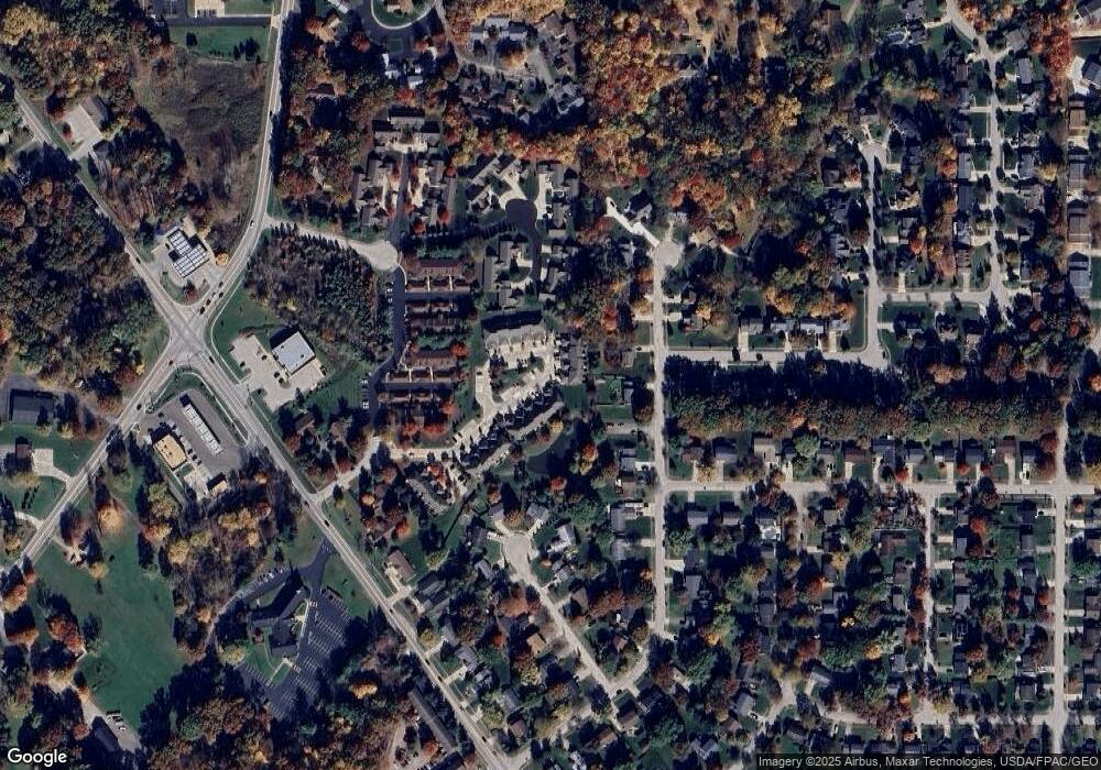
Map
Nearby Homes
- 2418 Wrens Dr S Unit G
- 4903 Fishcreek Rd Unit 11B
- 2444 Port Charles Dr
- 2380 Port Williams Dr Unit 2380
- 0 Stow Rd Unit 5102979
- 4901 Independence Cir Unit B
- 4731 Haughton Ct
- 2327 Crockett Cir
- 4621 Graford Ln
- 4917 Independence Cir Unit B
- 2140 Woodlawn Cir Unit 2144
- 4901 Pebblehurst Dr
- 2028 Willowdale Dr
- 1995 Willowdale Dr
- 4131 Burton Dr
- 4120 Klein Ave
- 4227 Baird Rd
- 1627 Cypress Ct
- 1937 Leisure Ln
- 1808 Higby Dr Unit A
- 2454 Wrens Dr S
- 2452 Wrens Dr S Unit 3
- 2450 Wrens Dr S
- 2448 Wrens Dr S
- 2446 Wrens Dr S Unit 3E
- 2444 Wrens Dr S
- 2442 Wrens Dr S Unit 3
- 2440 Wrens Dr S
- 2438 Wrens Dr S
- 2472 Wrens Dr S
- 2470 Wrens Dr S
- 2468 Wrens Dr S
- 2466 Wrens Dr S
- 2464 Wrens Dr S
- 2462 Wrens Dr S
- 2460 Wrens Dr S
- 2458 Wrens Dr S Unit 4
- 2443 Wrens Dr S
- 2445 Wrens Dr S
- 2447 Wrens Dr S