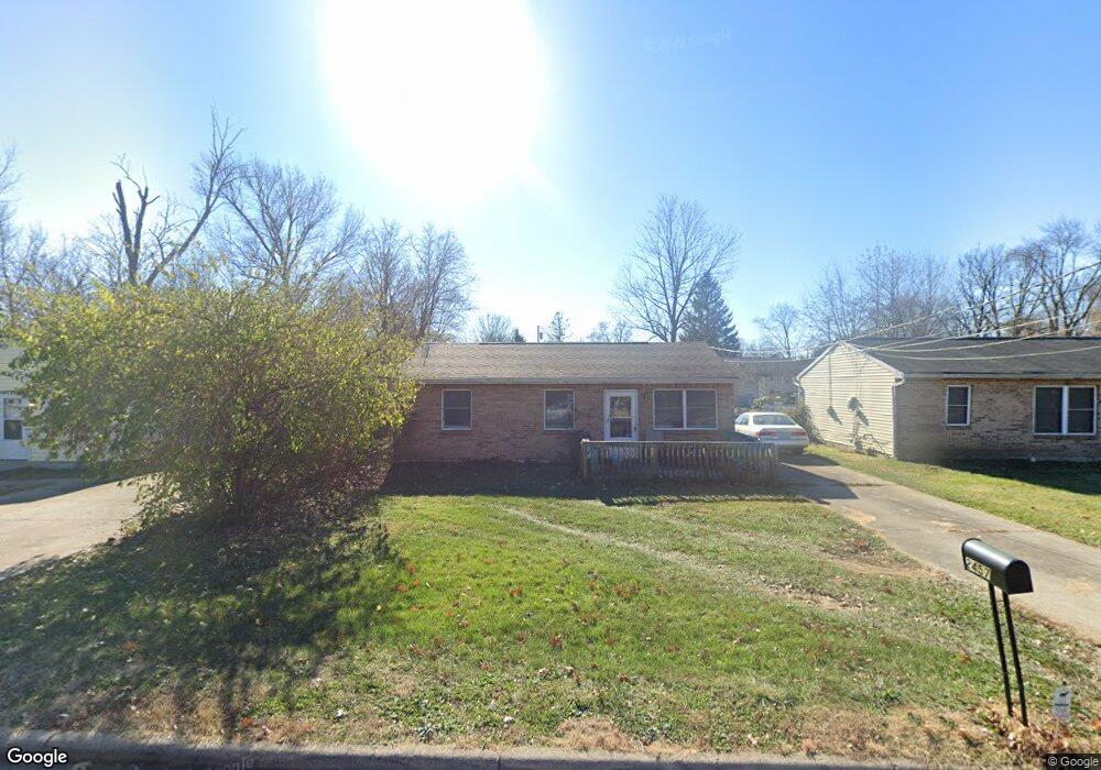
2457 Roosevelt Ave Cincinnati, OH 45231
Mount Healthy Heights NeighborhoodEstimated Value: $88,000 - $141,111
3
Beds
1
Bath
816
Sq Ft
$145/Sq Ft
Est. Value
About This Home
This home is located at 2457 Roosevelt Ave, Cincinnati, OH 45231 and is currently estimated at $118,528, approximately $145 per square foot. 2457 Roosevelt Ave is a home located in Hamilton County with nearby schools including Pleasant Run Elementary School, Taylor Elementary School, and Pleasant Run Middle School.
Ownership History
Date
Name
Owned For
Owner Type
Purchase Details
Closed on
Dec 6, 2018
Sold by
Wilson Marvin C
Bought by
Wilson Matthew A
Current Estimated Value
Home Financials for this Owner
Home Financials are based on the most recent Mortgage that was taken out on this home.
Original Mortgage
$43,200
Outstanding Balance
$27,591
Interest Rate
4.9%
Mortgage Type
New Conventional
Estimated Equity
$90,937
Create a Home Valuation Report for This Property
The Home Valuation Report is an in-depth analysis detailing your home's value as well as a comparison with similar homes in the area
Home Values in the Area
Average Home Value in this Area
Purchase History
| Date | Buyer | Sale Price | Title Company |
|---|---|---|---|
| Wilson Matthew A | $48,000 | Hallmark Title |
Source: Public Records
Mortgage History
| Date | Status | Borrower | Loan Amount |
|---|---|---|---|
| Open | Wilson Matthew A | $43,200 |
Source: Public Records
Tax History Compared to Growth
Tax History
| Year | Tax Paid | Tax Assessment Tax Assessment Total Assessment is a certain percentage of the fair market value that is determined by local assessors to be the total taxable value of land and additions on the property. | Land | Improvement |
|---|---|---|---|---|
| 2024 | $1,706 | $31,434 | $6,458 | $24,976 |
| 2023 | $1,715 | $31,434 | $6,458 | $24,976 |
| 2022 | $1,133 | $16,801 | $5,695 | $11,106 |
| 2021 | $1,123 | $16,801 | $5,695 | $11,106 |
| 2020 | $1,135 | $16,801 | $5,695 | $11,106 |
| 2019 | $1,345 | $18,683 | $4,592 | $14,091 |
| 2018 | $1,209 | $18,683 | $4,592 | $14,091 |
| 2017 | $1,146 | $18,683 | $4,592 | $14,091 |
| 2016 | $1,222 | $19,698 | $4,634 | $15,064 |
| 2015 | $1,234 | $19,698 | $4,634 | $15,064 |
| 2014 | $1,236 | $19,698 | $4,634 | $15,064 |
| 2013 | $1,242 | $20,738 | $4,879 | $15,859 |
Source: Public Records
Map
Nearby Homes
- 2465 Wilson Ave
- 2508 Wilson Ave
- 2696 Washington Ave
- 10762 Pippin Rd
- 2845 Wilson Ave
- 2882 Wilson Ave
- 10804 Sprucehill Dr
- 2717 Merrittview Ln
- 2936 Butterwick Dr
- 10372 Pippin Ln
- 10359 Hawkhurst Dr
- 2927 Windon Dr
- 10908 Tangleberry Ct
- 2504 Houston Rd
- 2504 Houston Rd Unit 1
- 2502 Houston Rd
- 2502 Houston Rd Unit 2
- 2599 Ambassador Dr
- 1890 Lotushill Dr
- 10443 Burlington Rd
- 2465 Roosevelt Ave
- 2449 Roosevelt Ave
- 2475 Roosevelt Ave
- 2458 Lincoln Ave
- 2448 Lincoln Ave
- 2466 Lincoln Ave
- 2468 Roosevelt Ave
- 2464 Roosevelt Ave
- 2478 Lincoln Ave
- 2474 Roosevelt Ave
- 2476 Roosevelt Ave
- 2426 Roosevelt Ave
- 2491 Roosevelt Ave
- 2421 Roosevelt Ave
- 10864 Gloria Ave
- 2475 Grant Ave
- 2435 Lincoln Ave
- 2438 Lincoln Ave
- 2437 Grant Ave
- 2404 Lincoln Ave