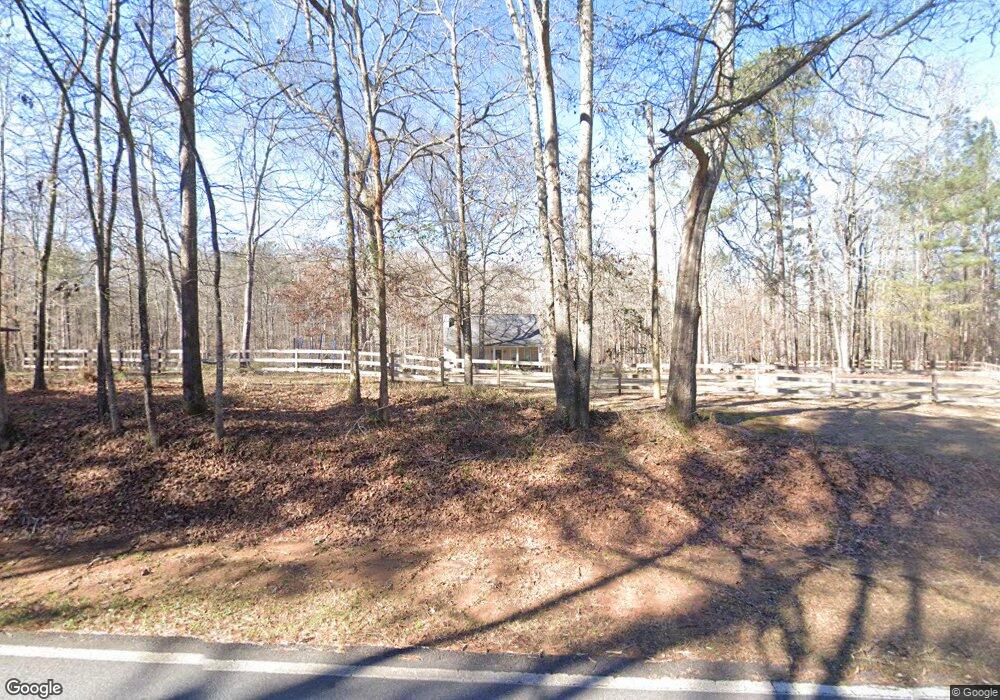
2457 Shi Rd Forsyth, GA 31029
Estimated Value: $347,000 - $559,000
4
Beds
4
Baths
3,340
Sq Ft
$144/Sq Ft
Est. Value
About This Home
This home is located at 2457 Shi Rd, Forsyth, GA 31029 and is currently estimated at $482,256, approximately $144 per square foot. 2457 Shi Rd is a home located in Monroe County with nearby schools including T.G. Scott Elementary School and Mary Persons High School.
Ownership History
Date
Name
Owned For
Owner Type
Purchase Details
Closed on
May 9, 2019
Sold by
Clark Kimberly
Bought by
Davis William P and Davis Cassie
Current Estimated Value
Home Financials for this Owner
Home Financials are based on the most recent Mortgage that was taken out on this home.
Original Mortgage
$297,000
Outstanding Balance
$260,593
Interest Rate
4.1%
Mortgage Type
New Conventional
Estimated Equity
$221,663
Purchase Details
Closed on
Nov 28, 2016
Sold by
Howard Marion Hamilton
Bought by
Clark Kimberly
Purchase Details
Closed on
Nov 13, 2002
Bought by
Howard Marion Hamilton
Create a Home Valuation Report for This Property
The Home Valuation Report is an in-depth analysis detailing your home's value as well as a comparison with similar homes in the area
Home Values in the Area
Average Home Value in this Area
Purchase History
| Date | Buyer | Sale Price | Title Company |
|---|---|---|---|
| Davis William P | $330,000 | -- | |
| Clark Kimberly | $280,000 | -- | |
| Howard Marion Hamilton | $176,000 | -- |
Source: Public Records
Mortgage History
| Date | Status | Borrower | Loan Amount |
|---|---|---|---|
| Open | Davis William P | $297,000 |
Source: Public Records
Tax History Compared to Growth
Tax History
| Year | Tax Paid | Tax Assessment Tax Assessment Total Assessment is a certain percentage of the fair market value that is determined by local assessors to be the total taxable value of land and additions on the property. | Land | Improvement |
|---|---|---|---|---|
| 2024 | $5,566 | $151,600 | $19,760 | $131,840 |
| 2023 | $3,771 | $133,440 | $19,760 | $113,680 |
| 2022 | $3,288 | $133,440 | $19,760 | $113,680 |
| 2021 | $3,404 | $133,440 | $19,760 | $113,680 |
| 2020 | $3,262 | $115,120 | $11,080 | $104,040 |
| 2019 | $2,499 | $105,720 | $11,080 | $94,640 |
| 2018 | $2,255 | $89,640 | $11,080 | $78,560 |
| 2017 | $2,909 | $100,080 | $11,080 | $89,000 |
| 2016 | $2,006 | $84,608 | $11,080 | $73,528 |
| 2015 | $1,903 | $84,608 | $11,080 | $73,528 |
| 2014 | $1,836 | $84,608 | $11,080 | $73,528 |
Source: Public Records
Map
Nearby Homes
- 0 Rogers Church Rd Unit 10643854
- 0 Yellow Creek Rd Unit 24433636
- 0 Yellow Creek Rd Unit 24433638
- 137 Shady Dale Dr
- 285 Lower Simmons Rd
- 283 Lower Simmons Rd
- 1774 Maynards Mill Rd
- 375 Bagley Rd
- Lot 15-A-2 Creekside Ln
- Lot 15-A-1 Creekside Ln
- 4866 Hwy 42 S
- LOT 13 Creekside Ln
- Lot 26-A-2 Creekside Trail
- Lot 26-A-1 Creekside Trail
- Lot 27-A-1 Creekside Trail
- 14 Creekside Ct
- 14 Creekside Ct
- 1122 Irongate
- 2415 Shi Rd
- 2441 Shi Rd
- 3480 Maynards Mill Rd
- 10375 Zebulon Rd
- 10343 Zebulon Rd
- 10518 Maynards Mill Rd
- 10313 Zebulon Rd
- 10313 Zebulon Rd
- 54 Margie Ln
- 10569 Zebulon Rd
- 3200 Maynards Mill Rd
- 41 Margie Ln
- 71 Margie Ln
- 10279 Zebulon Rd
- 3136 Maynards Mill Rd
- 10227 Old Zebulon Rd
- 3998 Maynards Mill Rd
- 3106 Maynards Mill Rd
- 10205 Zebulon Rd
- 3193 Maynards Mill Rd