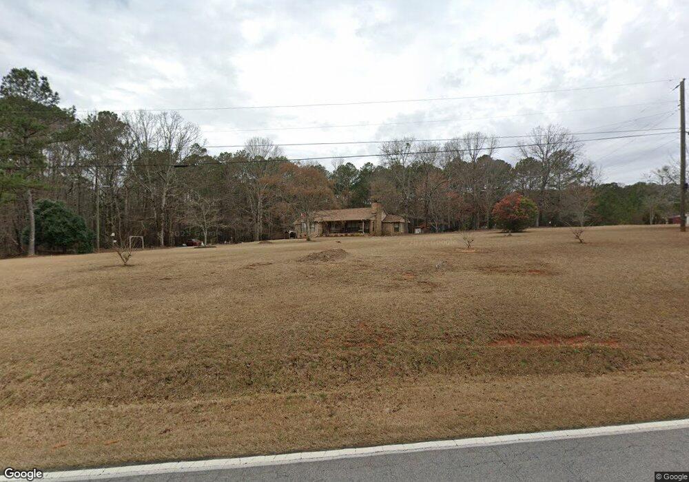
2458 Brownlee Rd Jackson, GA 30233
Southwest Butts NeighborhoodEstimated Value: $323,000 - $388,000
3
Beds
2
Baths
1,924
Sq Ft
$189/Sq Ft
Est. Value
About This Home
This home is located at 2458 Brownlee Rd, Jackson, GA 30233 and is currently estimated at $363,109, approximately $188 per square foot. 2458 Brownlee Rd is a home located in Butts County with nearby schools including Jackson High School.
Ownership History
Date
Name
Owned For
Owner Type
Purchase Details
Closed on
Apr 19, 2021
Sold by
Pitts Audrey R
Bought by
Warren Mitchell William
Current Estimated Value
Home Financials for this Owner
Home Financials are based on the most recent Mortgage that was taken out on this home.
Original Mortgage
$180,000
Outstanding Balance
$161,458
Interest Rate
3%
Mortgage Type
New Conventional
Estimated Equity
$201,651
Create a Home Valuation Report for This Property
The Home Valuation Report is an in-depth analysis detailing your home's value as well as a comparison with similar homes in the area
Home Values in the Area
Average Home Value in this Area
Purchase History
| Date | Buyer | Sale Price | Title Company |
|---|---|---|---|
| Warren Mitchell William | $275,000 | -- |
Source: Public Records
Mortgage History
| Date | Status | Borrower | Loan Amount |
|---|---|---|---|
| Open | Warren Mitchell William | $180,000 |
Source: Public Records
Tax History
| Year | Tax Paid | Tax Assessment Tax Assessment Total Assessment is a certain percentage of the fair market value that is determined by local assessors to be the total taxable value of land and additions on the property. | Land | Improvement |
|---|---|---|---|---|
| 2025 | $3,032 | $141,648 | $21,440 | $120,208 |
| 2024 | $3,032 | $143,105 | $21,440 | $121,665 |
| 2023 | $3,218 | $140,374 | $22,640 | $117,734 |
| 2022 | $2,985 | $112,109 | $15,848 | $96,261 |
| 2021 | $2,055 | $80,476 | $15,848 | $64,628 |
| 2020 | $2,034 | $77,226 | $15,848 | $61,378 |
| 2019 | $1,943 | $76,641 | $15,848 | $60,793 |
| 2018 | $1,613 | $63,240 | $15,848 | $47,392 |
| 2017 | $1,441 | $56,842 | $15,848 | $40,994 |
| 2016 | $1,480 | $56,842 | $15,848 | $40,994 |
| 2015 | $1,465 | $56,842 | $15,848 | $40,994 |
| 2014 | $1,469 | $54,431 | $15,848 | $38,583 |
Source: Public Records
Map
Nearby Homes
- 718 Mount Vernon Church Rd
- 738 Teagle Rd
- 130 Post Oak Dr
- 131 Post Oak Dr Unit 209
- 135 Post Oak Dr Unit 207
- 139 Post Oak Dr Unit 202
- 135 Post Oak Dr
- 139 Post Oak Dr
- 142 Post Oak Dr
- 142 Post Oak Dr Unit 136
- 144 Post Oak Dr
- 144 Post Oak Dr Unit 137
- 146 Post Oak Dr Unit 138
- 146 Post Oak Dr
- 148 Post Oak Dr Unit 139
- 148 Post Oak Dr
- 0 Brownlee Rd Unit 10671220
- 351 Homestead Circle Lot 23a Cir Unit LOT 23A
- 4025 High Falls Rd
- 341 Homestead Cir Unit LOT 22A
- 2438 Brownlee Rd
- 957 Mount Vernon Church Rd
- 957 Mt Vernon Church Rd
- 981 Mount Vernon Church Rd
- 0 Mount Vernon Church Rd Unit 7180841
- 0 Mount Vernon Church Rd Unit 7217580
- 991 Mount Vernon Church Rd
- 1000 Mount Vernon Church Rd
- 834 Mount Vernon Church Rd
- 2553 Brownlee Rd
- 2328 Brownlee Rd
- 3373 High Falls Rd
- 802 Mount Vernon Church Rd
- 2557 Brownlee Rd
- 3285 High Falls Rd
- 293 Tingle Rd
- 3352 High Falls Rd
- 283 Tingle Rd
- 275 Tingle Rd
- 3370 High Falls Rd
Your Personal Tour Guide
Ask me questions while you tour the home.