24580 S 490 Rd Tahlequah, OK 74464
Estimated Value: $351,536 - $649,000
3
Beds
2
Baths
4,120
Sq Ft
$121/Sq Ft
Est. Value
About This Home
This home is located at 24580 S 490 Rd, Tahlequah, OK 74464 and is currently estimated at $498,384, approximately $120 per square foot. 24580 S 490 Rd is a home with nearby schools including Cherokee Immersion Charter School.
Ownership History
Date
Name
Owned For
Owner Type
Purchase Details
Closed on
Feb 25, 2005
Sold by
Southridge Development Company Llc
Bought by
Johnson Brothers Construction Llc
Current Estimated Value
Purchase Details
Closed on
Oct 19, 2001
Sold by
Richard and Anita Johnson
Bought by
Daryl and Michelle Johnson
Create a Home Valuation Report for This Property
The Home Valuation Report is an in-depth analysis detailing your home's value as well as a comparison with similar homes in the area
Home Values in the Area
Average Home Value in this Area
Purchase History
| Date | Buyer | Sale Price | Title Company |
|---|---|---|---|
| Johnson Brothers Construction Llc | $18,000 | Heritage Title | |
| Daryl | -- | -- |
Source: Public Records
Tax History Compared to Growth
Tax History
| Year | Tax Paid | Tax Assessment Tax Assessment Total Assessment is a certain percentage of the fair market value that is determined by local assessors to be the total taxable value of land and additions on the property. | Land | Improvement |
|---|---|---|---|---|
| 2025 | $2,211 | $26,890 | $594 | $26,296 |
| 2024 | $2,211 | $25,610 | $594 | $25,016 |
| 2023 | $2,211 | $24,390 | $1,485 | $22,905 |
| 2022 | $1,930 | $24,390 | $1,485 | $22,905 |
| 2021 | $1,943 | $24,390 | $1,485 | $22,905 |
| 2020 | $1,982 | $24,390 | $1,485 | $22,905 |
| 2019 | $2,027 | $25,300 | $1,485 | $23,815 |
| 2018 | $2,018 | $25,300 | $1,485 | $23,815 |
| 2017 | $2,023 | $25,300 | $1,485 | $23,815 |
| 2016 | $1,949 | $24,409 | $594 | $23,815 |
| 2015 | $1,913 | $24,362 | $743 | $23,619 |
| 2014 | $1,904 | $24,298 | $743 | $23,555 |
Source: Public Records
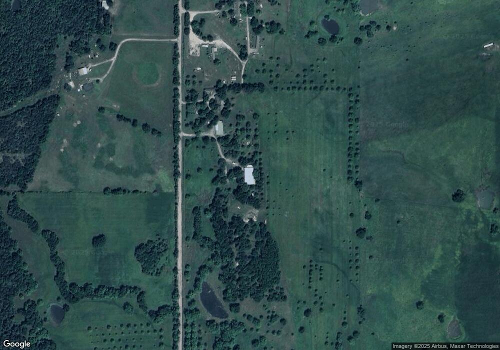
Map
Nearby Homes
- 16920 W 828 Rd
- 16981 W 828 Rd
- 2 S 490 Rd
- 0 S 490 Rd
- 16289 W 810 Rd
- 14650 W 835 Rd
- 22781 S 490 Rd
- 17611 W Stone Chapel Rd
- 0 S Qualls Rd Unit 2543872
- 0 S 500 Rd Unit 2526574
- 0 S 500 Rd Unit 2526465
- 13670 W 834 Rd
- 27254 S 490 Rd
- 25130 S 519 Rd
- 0 W 810 Rd Unit 2506686
- 21887 Coffee Hollow Rd
- 0 S 510 Rd
- 26037 S 520 Rd
- 25079 S 519 Rd
- 23126 State Highway 82
- 24520 S 490 Rd
- 16737 W 820 Rd
- 24408 S 490 Rd
- 24287 S 490 Rd
- 24897 S 490 Rd
- 25016 S 490 Rd
- 0 W 820 Rd Unit 2333222
- 0 W 820 Rd Unit 2333227
- 0 W 820 Rd Unit 2333230
- 0 W 820 Rd
- 25027 S 490 Rd
- 16491 W 820 Rd
- 5 S 500 Rd
- 23846 S 490 Rd
- 16950 W 828 Rd
- 16951 W 828 Rd
- 828 W W Rd
- 16921 W 828 Rd
- 6 S 500 Rd
- 15242 W 830 Rd