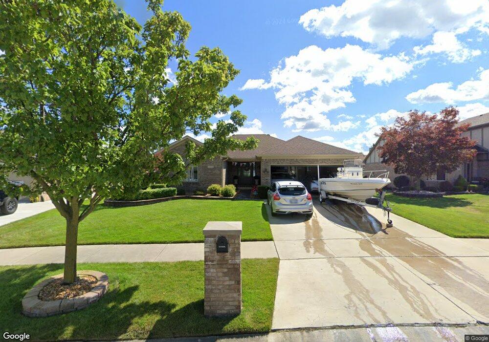
24583 Curtis Dr Flat Rock, MI 48134
Estimated Value: $342,000 - $360,000
3
Beds
4
Baths
1,608
Sq Ft
$218/Sq Ft
Est. Value
About This Home
This home is located at 24583 Curtis Dr, Flat Rock, MI 48134 and is currently estimated at $350,832, approximately $218 per square foot. 24583 Curtis Dr is a home located in Wayne County with nearby schools including Erving Elementary School, Patrick Henry Middle School, and Brownstown Middle School.
Ownership History
Date
Name
Owned For
Owner Type
Purchase Details
Closed on
Nov 26, 2024
Sold by
Mink Christine and Rogers Christine
Bought by
Revocable Living Trust Of Anthony J And Chris
Current Estimated Value
Purchase Details
Closed on
Nov 15, 2011
Sold by
Mink Shawn T and Mink Christine
Bought by
Mink Christine
Purchase Details
Closed on
Dec 12, 2003
Sold by
Mink Shawn T
Bought by
Mink Shawn
Create a Home Valuation Report for This Property
The Home Valuation Report is an in-depth analysis detailing your home's value as well as a comparison with similar homes in the area
Home Values in the Area
Average Home Value in this Area
Purchase History
| Date | Buyer | Sale Price | Title Company |
|---|---|---|---|
| Revocable Living Trust Of Anthony J And Chris | -- | None Listed On Document | |
| Revocable Living Trust Of Anthony J And Chris | -- | None Listed On Document | |
| Mink Christine | -- | None Available | |
| Mink Shawn | -- | -- |
Source: Public Records
Tax History
| Year | Tax Paid | Tax Assessment Tax Assessment Total Assessment is a certain percentage of the fair market value that is determined by local assessors to be the total taxable value of land and additions on the property. | Land | Improvement |
|---|---|---|---|---|
| 2025 | $2,352 | $166,800 | $0 | $0 |
| 2024 | $2,287 | $165,500 | $0 | $0 |
| 2023 | $2,181 | $146,600 | $0 | $0 |
| 2022 | $4,036 | $123,000 | $0 | $0 |
| 2021 | $3,757 | $116,700 | $0 | $0 |
| 2020 | $3,676 | $112,200 | $0 | $0 |
| 2019 | $3,635 | $108,500 | $0 | $0 |
| 2018 | $1,906 | $105,000 | $0 | $0 |
| 2017 | $3,334 | $103,800 | $0 | $0 |
| 2016 | $3,493 | $101,000 | $0 | $0 |
| 2015 | $7,280 | $95,400 | $0 | $0 |
| 2013 | $6,964 | $94,500 | $0 | $0 |
| 2012 | -- | $74,100 | $17,100 | $57,000 |
Source: Public Records
Map
Nearby Homes
- 24210 Westpointe St
- 24048 Hemlock Dr Unit 7
- 23607 Telegraph Rd
- 24440 Sylvan Ave
- 24595 Jason Dr
- 24436 Mount Olive Dr
- 24608 Woodland Dr
- 24479 Emily Dr
- 24494 Edwin St
- 23840 Brentwood Dr Unit 102
- Argonne Ave 8.8 Acre Argonne Ave
- Argonne Ave 5 Acres Argonne Ave
- 25843 Loudon Dr
- 23273 Bunte Ct Unit 51
- 24768 Christina Dr Unit 85
- 25247 Warren Dr
- 23300 Brentwood Dr
- 22534 Provincial St
- 25860 Brighton Ln
- 23676 Lori Dr
- 24613 Curtis Dr
- 24553 Curtis Dr
- 24592 Christian Dr
- 24643 Curtis Dr
- 24562 Christian Dr
- 24483 Curtis Dr
- 24622 Christian Dr
- 24532 Christian Dr
- 24594 Curtis Dr
- 24652 Christian Dr
- 24614 Curtis Dr
- 24673 Curtis Dr
- 24463 Curtis Dr
- 24502 Christian Dr
- 24644 Curtis Dr
- 24482 Christian Dr
- 24544 Curtis Dr
- 24682 Christian Dr
- 24443 Curtis Dr
- 24674 Curtis Dr
Your Personal Tour Guide
Ask me questions while you tour the home.