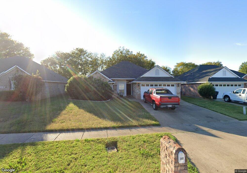
2459 Brookside Dr Bossier City, LA 71111
Estimated Value: $238,000 - $247,477
3
Beds
2
Baths
1,527
Sq Ft
$158/Sq Ft
Est. Value
About This Home
This home is located at 2459 Brookside Dr, Bossier City, LA 71111 and is currently estimated at $241,119, approximately $157 per square foot. 2459 Brookside Dr is a home located in Bossier Parish with nearby schools including The Lee Academy Pilot School, Stockwell Place Elementary School, and Cope Middle School.
Ownership History
Date
Name
Owned For
Owner Type
Purchase Details
Closed on
Jan 23, 2013
Sold by
J & R Juneau Llc
Bought by
Sikes Jacob and Sikes Mikayla
Current Estimated Value
Home Financials for this Owner
Home Financials are based on the most recent Mortgage that was taken out on this home.
Original Mortgage
$143,120
Interest Rate
4.47%
Mortgage Type
Unknown
Purchase Details
Closed on
Jan 18, 2008
Sold by
Phillips Matthew Louis and Phillips Ginger Marie
Bought by
J & R Juneau Llc
Home Financials for this Owner
Home Financials are based on the most recent Mortgage that was taken out on this home.
Original Mortgage
$168,614
Interest Rate
6.15%
Mortgage Type
Unknown
Create a Home Valuation Report for This Property
The Home Valuation Report is an in-depth analysis detailing your home's value as well as a comparison with similar homes in the area
Home Values in the Area
Average Home Value in this Area
Purchase History
| Date | Buyer | Sale Price | Title Company |
|---|---|---|---|
| Sikes Jacob | $178,900 | None Available | |
| J & R Juneau Llc | $168,000 | None Available |
Source: Public Records
Mortgage History
| Date | Status | Borrower | Loan Amount |
|---|---|---|---|
| Previous Owner | Sikes Jacob | $143,120 | |
| Previous Owner | J & R Juneau Llc | $168,614 |
Source: Public Records
Tax History Compared to Growth
Tax History
| Year | Tax Paid | Tax Assessment Tax Assessment Total Assessment is a certain percentage of the fair market value that is determined by local assessors to be the total taxable value of land and additions on the property. | Land | Improvement |
|---|---|---|---|---|
| 2024 | $1,865 | $21,529 | $3,000 | $18,529 |
| 2023 | $1,571 | $18,254 | $2,900 | $15,354 |
| 2022 | $1,153 | $18,254 | $2,900 | $15,354 |
| 2021 | $412 | $18,254 | $2,900 | $15,354 |
| 2020 | $1,152 | $18,254 | $2,900 | $15,354 |
| 2019 | $1,016 | $16,850 | $2,900 | $13,950 |
| 2018 | $1,016 | $16,850 | $2,900 | $13,950 |
| 2017 | $1,388 | $16,850 | $2,900 | $13,950 |
| 2016 | $1,388 | $16,850 | $2,900 | $13,950 |
| 2015 | $382 | $16,770 | $2,900 | $13,870 |
| 2014 | $382 | $16,770 | $2,900 | $13,870 |
Source: Public Records
Map
Nearby Homes
- 6012 Whitney Dr
- 2508 Cole Cir
- 4002 Wilderness Ln
- 2481 Churchill Dr
- 5705 Lake Side Dr
- 2319 Windsor Ct
- 0 Victoria's Dr
- 6020 Applegate Cir
- 163 Dogwood South Ln
- 6019 Ellington Way
- 6012 Ellington Way
- 6014 Ellington Way
- 122 Dogwood South Ln
- 3406 Heatherbrook Dr
- 5526 Lake Side Dr
- 3237 Pinehaven Ln
- 8401 Dogwood Trail
- 2212 Middle Creek Blvd
- 5524 Hickory Ridge Dr
- 113 Red Fox Cir
- 2461 Brookside Dr
- 2463 Brookside Dr
- 2457 Brookside Dr
- 2455 Brookside Dr
- 2465 Brookside Dr
- 2453 Brookside Dr
- 2453 Brookside Dr Unit 2
- 6000 Zachary Cir
- 2467 Brookside Dr
- 2451 Brookside Dr
- 6001 Zachary Cir
- 6001 Jason St
- 6002 Zachary Cir
- 2469 Brookside Dr
- 6003 Jason St
- 6003 Zachary Cir
- 6006 Whitney Dr
- 2428 Churchill Dr
- 6005 Jason St
- 2471 Brookside Dr