24595 Shadow Ln Warrenton, MO 63383
Estimated Value: $658,000 - $928,340
5
Beds
4
Baths
6,500
Sq Ft
$127/Sq Ft
Est. Value
About This Home
This home is located at 24595 Shadow Ln, Warrenton, MO 63383 and is currently estimated at $827,447, approximately $127 per square foot. 24595 Shadow Ln is a home located in Warren County with nearby schools including Warrior Ridge Elementary School, Black Hawk Middle School, and Warrenton High School.
Ownership History
Date
Name
Owned For
Owner Type
Purchase Details
Closed on
Dec 16, 2015
Sold by
Hawbaker Michael and Hawbaker Tracy
Bought by
Hawbaker Michael and Hawbaker Tracy
Current Estimated Value
Purchase Details
Closed on
Oct 26, 2010
Sold by
Hawbaker Michael S and Hawbaker Tracy S
Bought by
Boedeker Ronald P and Boedeker Deborah J
Purchase Details
Closed on
Jun 24, 2010
Sold by
Boedeker Ronald P and Boedeker Deborah J
Bought by
Hawbaker Michael S and Hawbaker Tracy S
Home Financials for this Owner
Home Financials are based on the most recent Mortgage that was taken out on this home.
Original Mortgage
$382,000
Interest Rate
4.77%
Mortgage Type
New Conventional
Create a Home Valuation Report for This Property
The Home Valuation Report is an in-depth analysis detailing your home's value as well as a comparison with similar homes in the area
Home Values in the Area
Average Home Value in this Area
Purchase History
| Date | Buyer | Sale Price | Title Company |
|---|---|---|---|
| Hawbaker Michael | -- | None Available | |
| Boedeker Ronald P | -- | None Available | |
| Hawbaker Michael S | -- | None Available | |
| Hawbaker Michael S | -- | None Available |
Source: Public Records
Mortgage History
| Date | Status | Borrower | Loan Amount |
|---|---|---|---|
| Previous Owner | Hawbaker Michael S | $382,000 |
Source: Public Records
Tax History Compared to Growth
Tax History
| Year | Tax Paid | Tax Assessment Tax Assessment Total Assessment is a certain percentage of the fair market value that is determined by local assessors to be the total taxable value of land and additions on the property. | Land | Improvement |
|---|---|---|---|---|
| 2024 | $5,722 | $84,851 | $2,986 | $81,865 |
| 2023 | $4,945 | $84,851 | $2,986 | $81,865 |
| 2022 | $4,600 | $78,687 | $2,782 | $75,905 |
| 2021 | $4,600 | $78,687 | $2,782 | $75,905 |
| 2020 | $4,622 | $78,687 | $2,782 | $75,905 |
| 2019 | $4,623 | $78,687 | $0 | $0 |
| 2017 | $4,573 | $78,704 | $0 | $0 |
| 2016 | $4,558 | $78,704 | $0 | $0 |
| 2015 | -- | $78,704 | $0 | $0 |
| 2011 | -- | $78,690 | $0 | $0 |
Source: Public Records
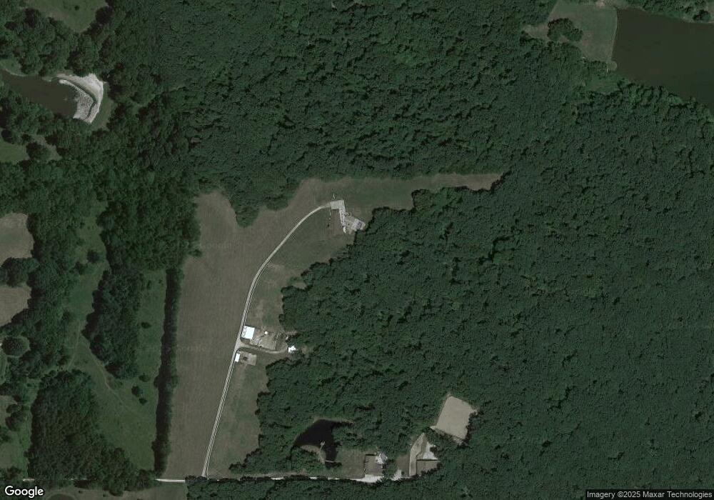
Map
Nearby Homes
- 24620 Frontier Trail
- Lot 8 Sunnyside Rd
- 22169 NW Service Rd
- LOT 22-23 Range Line Dr
- 30928 Bonnie Bell Dr
- 0 Pebble Creek Dr Unit MAR25021772
- 21252 Walnut Ct Unit 138
- 21458 Lakeview Estates Dr Unit 141
- 20 + - Acres Fire Tower Rd
- 26920 Jackson
- 00 Kaminski Rd
- 2 Briarwood Ct
- 3 Briarwood Ct
- 7 Acres Meadowview Dr
- 27431 Lee Ct
- 630 Booneslick Rd
- 25156 Woodridge Dr
- 507 Woolf Rd
- 414 Middletown Rd
- 402A Middletown Rd
- 24560 Shadow Ln
- 24056 Kelling Ln
- 28356 Pendleton School Rd Unit FKA
- 28752 Pendleton Church Rd Unit FKA
- 28848 State Highway B Unit 456
- 28142 State Highway Ee
- 20 Highway Ee Acres
- 23781 Little Village Trail
- 0 State Hwy Ee 14 75 Acres Unit 13025673
- 0 State Hwy Ee 13 6 Acres Unit 16028304
- 28104 State Highway Ee
- 0 10 + - Acres Hwy 70 Unit None 80000584
- 0 17 + - Acres Hwy 70 Unit None 80000566
- 0 Hwy 70 Unit 11005374
- 0 186 Acres Hwy 70 Unit None 13015896
- 0 Highway Mm Unit 90004682
- 00.7 Ac Hwy Mm
- 0 Hwy Aa
- 03 Acres Hwy Aa
- 02 Acres Hwy 47