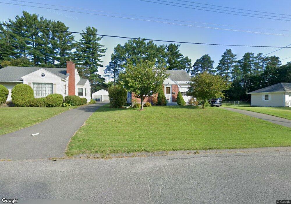
246 Allengate Ave Pittsfield, MA 01201
Estimated Value: $278,000 - $311,000
3
Beds
1
Bath
1,502
Sq Ft
$199/Sq Ft
Est. Value
About This Home
This home is located at 246 Allengate Ave, Pittsfield, MA 01201 and is currently estimated at $299,180, approximately $199 per square foot. 246 Allengate Ave is a home located in Berkshire County with nearby schools including Allendale Elementary School, Theodore Herberg Middle School, and Sinai Academy of the Berkshires.
Ownership History
Date
Name
Owned For
Owner Type
Purchase Details
Closed on
Sep 24, 2010
Sold by
Lancaster-Hall Carol
Bought by
Reynolds Gary L
Current Estimated Value
Home Financials for this Owner
Home Financials are based on the most recent Mortgage that was taken out on this home.
Original Mortgage
$140,000
Outstanding Balance
$92,272
Interest Rate
4.48%
Mortgage Type
Purchase Money Mortgage
Estimated Equity
$206,908
Create a Home Valuation Report for This Property
The Home Valuation Report is an in-depth analysis detailing your home's value as well as a comparison with similar homes in the area
Home Values in the Area
Average Home Value in this Area
Purchase History
| Date | Buyer | Sale Price | Title Company |
|---|---|---|---|
| Reynolds Gary L | $150,000 | -- | |
| Reynolds Gary L | $150,000 | -- | |
| Reynolds Gary L | $150,000 | -- |
Source: Public Records
Mortgage History
| Date | Status | Borrower | Loan Amount |
|---|---|---|---|
| Open | Reynolds Gary L | $140,000 | |
| Closed | Reynolds Gary L | $140,000 |
Source: Public Records
Tax History Compared to Growth
Tax History
| Year | Tax Paid | Tax Assessment Tax Assessment Total Assessment is a certain percentage of the fair market value that is determined by local assessors to be the total taxable value of land and additions on the property. | Land | Improvement |
|---|---|---|---|---|
| 2025 | $5,124 | $285,600 | $68,600 | $217,000 |
| 2024 | $4,699 | $254,700 | $68,600 | $186,100 |
| 2023 | $4,377 | $238,900 | $68,600 | $170,300 |
| 2022 | $3,918 | $211,100 | $63,700 | $147,400 |
| 2021 | $3,561 | $185,000 | $63,700 | $121,300 |
| 2020 | $3,319 | $168,400 | $51,000 | $117,400 |
| 2019 | $2,958 | $152,300 | $47,000 | $105,300 |
| 2018 | $3,004 | $150,100 | $47,000 | $103,100 |
| 2017 | $2,915 | $148,500 | $49,000 | $99,500 |
| 2016 | $2,748 | $146,500 | $49,000 | $97,500 |
| 2015 | $2,646 | $146,500 | $49,000 | $97,500 |
Source: Public Records
Map
Nearby Homes
- 135 Allengate Ave
- 122 Allengate Ave
- 52 Bossidy Dr
- 153 Elberon Ave
- 36 Pittsfield Ave
- 156 Draper Ave
- 326 Dalton Ave
- 81 Dartmouth St Unit 102
- 67 Scammell Ave
- I11001904 Scammell Ave
- 0 Faucett Ln
- 87 Maryland Ave
- 919 Tyler St
- 0 Brown St
- LOT 20 Plunkett St
- 11 Marco Dr
- 24 Glenwood Ave
- 16 Garland Ave
- 29 Glenwood Ave
- 48 Brown St
- 252 Allengate Ave
- 238 Allengate Ave
- 258 Allengate Ave
- 186 Ridgeway Ave
- 262 Allengate Ave
- 232 Allengate Ave
- 180 Ridgeway Ave
- 185 Ridgeway Ave
- 226 Allengate Ave
- 266 Allengate Ave
- 177 Brighton Ave
- 179 Ridgeway Ave
- 172 Ridgeway Ave
- 222 Allengate Ave
- 173 Brighton Ave
- 270 Allengate Ave
- 263 Allengate Ave
- 171 Ridgeway Ave
- 169 Brighton Ave
- 218 Allengate Ave