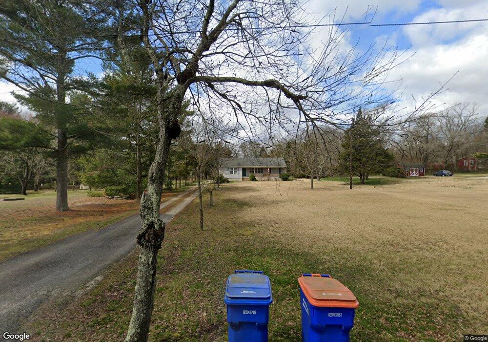
246 Burns Rd Millville, NJ 08332
Estimated Value: $304,731 - $377,000
--
Bed
--
Bath
1,460
Sq Ft
$237/Sq Ft
Est. Value
About This Home
This home is located at 246 Burns Rd, Millville, NJ 08332 and is currently estimated at $346,183, approximately $237 per square foot. 246 Burns Rd is a home located in Cumberland County with nearby schools including Holly Heights Elementary School, Lakeside Middle School, and Millville Senior High School.
Ownership History
Date
Name
Owned For
Owner Type
Purchase Details
Closed on
Aug 16, 1995
Sold by
K D R Contractors Inc
Bought by
Lago Raymond S and Swain Deborah S
Current Estimated Value
Purchase Details
Closed on
Apr 27, 1995
Sold by
Lago Raymond S
Bought by
K D R Contractors Inc
Purchase Details
Closed on
Nov 3, 1994
Sold by
Oliver Elizabeth
Bought by
Lago Raymond S
Create a Home Valuation Report for This Property
The Home Valuation Report is an in-depth analysis detailing your home's value as well as a comparison with similar homes in the area
Home Values in the Area
Average Home Value in this Area
Purchase History
| Date | Buyer | Sale Price | Title Company |
|---|---|---|---|
| Lago Raymond S | $108,300 | Title Services | |
| K D R Contractors Inc | -- | Dominion Title Services Inc | |
| Lago Raymond S | $24,000 | Dominion Title Services Inc |
Source: Public Records
Tax History Compared to Growth
Tax History
| Year | Tax Paid | Tax Assessment Tax Assessment Total Assessment is a certain percentage of the fair market value that is determined by local assessors to be the total taxable value of land and additions on the property. | Land | Improvement |
|---|---|---|---|---|
| 2025 | $6,598 | $168,100 | $34,000 | $134,100 |
| 2024 | $6,598 | $168,100 | $34,000 | $134,100 |
| 2023 | $6,542 | $168,100 | $34,000 | $134,100 |
| 2022 | $6,373 | $168,100 | $34,000 | $134,100 |
| 2021 | $6,166 | $168,100 | $34,000 | $134,100 |
| 2020 | $6,063 | $168,100 | $34,000 | $134,100 |
| 2019 | $5,783 | $168,100 | $34,000 | $134,100 |
| 2018 | $5,663 | $168,100 | $34,000 | $134,100 |
| 2017 | $5,611 | $168,100 | $34,000 | $134,100 |
| 2016 | $5,541 | $168,100 | $34,000 | $134,100 |
| 2015 | $5,416 | $168,100 | $34,000 | $134,100 |
| 2014 | $5,426 | $168,100 | $34,000 | $134,100 |
Source: Public Records
Map
Nearby Homes
- 2419 Newcombtown Rd
- 9 Greenlawn Ct
- 1812 Newcombtown Rd
- 2801 Leaming Mill Rd
- 1921 Mountain Dr
- 429 Manor Ave
- 2245 E Main St
- 104 Geissinger Ave
- 447 Manor Ave
- 2237 N Wedgewood Ct
- Block 88 Lot 6 Sherman Ave
- 4225 Mays Landing Rd
- 1821 E Main St
- 521 Brandy Ridge
- 1916 Bessie Way
- 305 Court Blvd
- 1727 Coventry Way
- 2430 Mistletoe Ln
- 798 Beck Dr
- 1310 E Main St