246 Carriage Rd Osterville, MA 2655
Osterville NeighborhoodEstimated Value: $2,288,000 - $7,161,744
4
Beds
4
Baths
3,592
Sq Ft
$1,315/Sq Ft
Est. Value
About This Home
This home is located at 246 Carriage Rd, Osterville, MA 2655 and is currently estimated at $4,724,872, approximately $1,315 per square foot. 246 Carriage Rd is a home located in Barnstable County with nearby schools including West Villages Elementary School, Barnstable United Elementary School, and Barnstable Intermediate School.
Ownership History
Date
Name
Owned For
Owner Type
Purchase Details
Closed on
Dec 15, 2020
Sold by
Minshall Peter C and Minshall Suzanne S
Bought by
246 Carriage Road Llc
Current Estimated Value
Purchase Details
Closed on
Jan 15, 2016
Sold by
246 Carriage Road Nt and Brown Bros Harriman T
Bought by
Minshall Peter C and Minshall Suzanne S
Purchase Details
Closed on
Oct 28, 2008
Sold by
Danforth Betty A Est
Bought by
246 Carriage Road Nt and Brown Brothers Harrima
Create a Home Valuation Report for This Property
The Home Valuation Report is an in-depth analysis detailing your home's value as well as a comparison with similar homes in the area
Home Values in the Area
Average Home Value in this Area
Purchase History
| Date | Buyer | Sale Price | Title Company |
|---|---|---|---|
| 246 Carriage Road Llc | -- | None Available | |
| Minshall Peter C | $7,375,000 | -- | |
| 246 Carriage Road Nt | -- | -- | |
| 246 Carriage Road Nt | -- | -- |
Source: Public Records
Mortgage History
| Date | Status | Borrower | Loan Amount |
|---|---|---|---|
| Closed | Minshall Peter C | $0 |
Source: Public Records
Tax History
| Year | Tax Paid | Tax Assessment Tax Assessment Total Assessment is a certain percentage of the fair market value that is determined by local assessors to be the total taxable value of land and additions on the property. | Land | Improvement |
|---|---|---|---|---|
| 2025 | $67,247 | $8,312,300 | $5,356,600 | $2,955,700 |
| 2024 | $64,058 | $8,202,000 | $5,356,600 | $2,845,400 |
| 2023 | $62,153 | $7,452,400 | $4,907,800 | $2,544,600 |
| 2022 | $66,574 | $6,906,000 | $4,680,000 | $2,226,000 |
| 2021 | $67,671 | $6,451,000 | $4,412,600 | $2,038,400 |
| 2020 | $73,782 | $6,731,900 | $4,793,100 | $1,938,800 |
| 2019 | $76,461 | $6,778,500 | $4,793,100 | $1,985,400 |
| 2018 | $74,929 | $6,678,200 | $5,045,400 | $1,632,800 |
| 2017 | $67,831 | $6,304,000 | $5,045,400 | $1,258,600 |
| 2016 | $62,117 | $5,698,800 | $5,045,400 | $653,400 |
| 2015 | $59,071 | $5,444,300 | $4,843,000 | $601,300 |
Source: Public Records
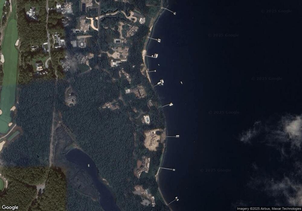
Map
Nearby Homes
- Lot 289 Seapuit River B Rd
- Lot 288 Seapuit River A Rd
- 14 Indian Trail
- 25 Oyster Way
- Lot 289 Seapuit River Road B
- 440 Grand Island Dr
- 168 Garrison Ln
- Lot 288 Seapuit River Rd A
- 850 Sea View Ave
- 71 Sand Point
- 414 Eel River Rd
- 501 Eel River Rd
- 835 Old Post Rd
- 564 Cotuit Bay Dr
- 564 Cotuit Bay Dr
- 414 Eel
- 135 Putnam Avenue (Land)
- 33 Sunset Ln
- 67 Fire Station Rd
- 146 Scudder Rd
- 232 Carriage Rd
- 274 Carriage Rd
- 274 Carriage Rd
- 233 Carriage Rd
- 210 Carriage Rd
- 298 Carriage Rd
- 213 Carriage Rd
- 37 Pheasant Path
- 180 Carriage Rd
- 177 Carriage Rd
- 30 Pheasant Path
- 320 Carriage Rd
- 5 Pheasant Path
- 160 Carriage Rd
- 169 Carriage Rd
- 225 Oyster Way
- 150 Carriage Rd
- 155 Carriage Rd
- 264 Oyster Way
- 244 Oyster Way
Your Personal Tour Guide
Ask me questions while you tour the home.