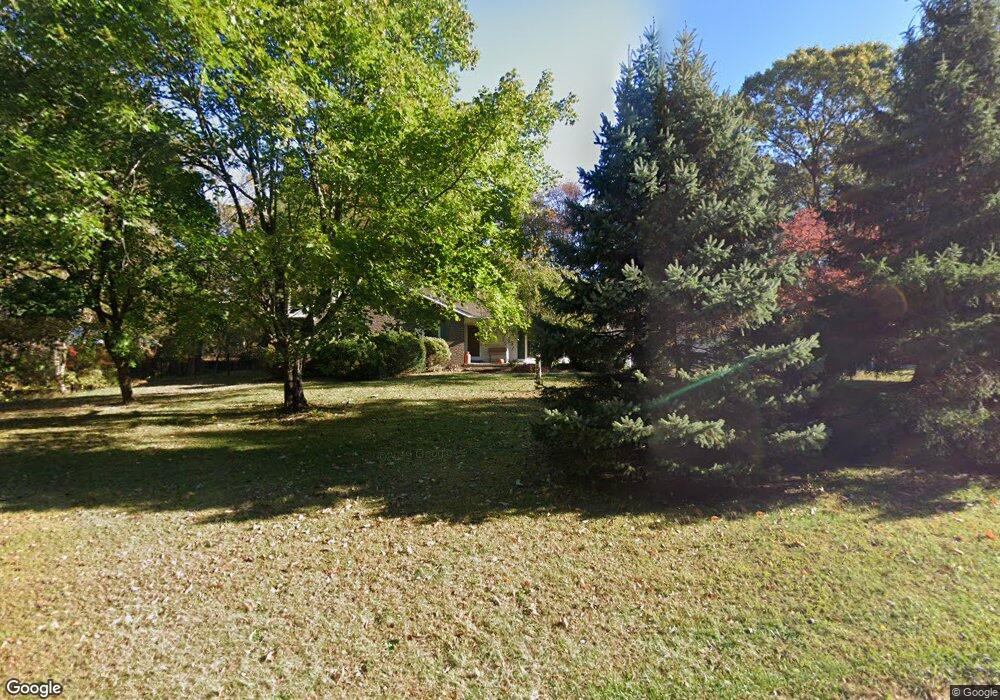
246 Cedar Rd Mullica Hill, NJ 08062
Estimated Value: $389,000 - $487,000
--
Bed
--
Bath
1,670
Sq Ft
$260/Sq Ft
Est. Value
About This Home
This home is located at 246 Cedar Rd, Mullica Hill, NJ 08062 and is currently estimated at $434,401, approximately $260 per square foot. 246 Cedar Rd is a home located in Gloucester County with nearby schools including Harrison Township Elementary School, Pleasant Valley School, and Clearview Regional Middle School.
Ownership History
Date
Name
Owned For
Owner Type
Purchase Details
Closed on
Jul 31, 2003
Sold by
Bottoms Dennis W and Bottoms Suzanne N
Bought by
Bottoms Dennis W and Bottoms Suzanne N
Current Estimated Value
Purchase Details
Closed on
Jul 28, 2003
Sold by
Estate Of Joseph W Bailey
Bought by
Bottoms Dennis W and Bottoms Suzanne N
Purchase Details
Closed on
Dec 13, 2001
Sold by
Mahoney James M and Mahoney Barbara
Bought by
Bottoms Dennis W and Bottoms Suzanne N
Home Financials for this Owner
Home Financials are based on the most recent Mortgage that was taken out on this home.
Original Mortgage
$89,000
Interest Rate
6.6%
Purchase Details
Closed on
Dec 10, 1994
Sold by
Kern Henry T and Kern Constance B
Bought by
Mahoney James M and Mahoney Barbara
Create a Home Valuation Report for This Property
The Home Valuation Report is an in-depth analysis detailing your home's value as well as a comparison with similar homes in the area
Home Values in the Area
Average Home Value in this Area
Purchase History
| Date | Buyer | Sale Price | Title Company |
|---|---|---|---|
| Bottoms Dennis W | -- | -- | |
| Bottoms Dennis W | $2,500 | -- | |
| Bottoms Dennis W | $224,000 | -- | |
| Mahoney James M | $145,000 | Pilgrim Title Agency Inc |
Source: Public Records
Mortgage History
| Date | Status | Borrower | Loan Amount |
|---|---|---|---|
| Previous Owner | Bottoms Dennis W | $89,000 |
Source: Public Records
Tax History Compared to Growth
Tax History
| Year | Tax Paid | Tax Assessment Tax Assessment Total Assessment is a certain percentage of the fair market value that is determined by local assessors to be the total taxable value of land and additions on the property. | Land | Improvement |
|---|---|---|---|---|
| 2025 | $8,065 | $240,900 | $68,000 | $172,900 |
| 2024 | $7,796 | $240,900 | $68,000 | $172,900 |
| 2023 | $7,796 | $240,900 | $68,000 | $172,900 |
| 2022 | $7,718 | $240,900 | $68,000 | $172,900 |
| 2021 | $6,883 | $240,900 | $68,000 | $172,900 |
| 2020 | $7,396 | $240,900 | $68,000 | $172,900 |
| 2019 | $7,174 | $240,900 | $68,000 | $172,900 |
| 2018 | $6,976 | $240,900 | $68,000 | $172,900 |
| 2017 | $6,805 | $240,900 | $68,000 | $172,900 |
| 2016 | $7,541 | $252,200 | $68,000 | $184,200 |
| 2015 | $7,326 | $252,200 | $68,000 | $184,200 |
| 2014 | $7,029 | $252,200 | $68,000 | $184,200 |
Source: Public Records
Map
Nearby Homes
- 3 Winding Way
- 420 Timber Ln
- 251 Mullica Hill Rd
- 211 Emerald Ln
- 123 Clems Run
- 101 Griffin Rd
- 533 Shadowbrook Trail
- 549 Clems Run
- 679 Jackson Rd
- 213 Dillons Ln
- 22 Turtle Creek Dr
- 102 Brookside Way
- 0 Jackson Rd
- 12 Poplar Ct
- 270 Jefferson Rd
- 163 N Main St
- 422 Woodruff Trail
- 106 Sage Trail
- B 45, L 10.02 Wolfert Station Rd
- 203 Fox Glove Trail