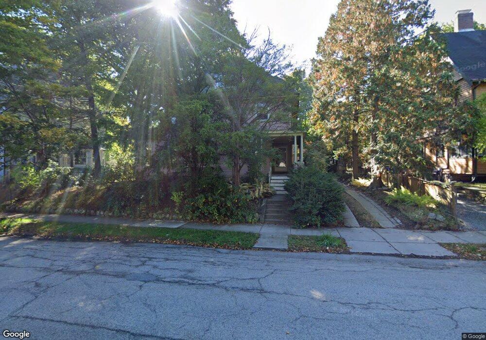
246 Clinton Rd Brookline, MA 02445
Cleveland Circle NeighborhoodEstimated Value: $2,407,689 - $2,908,000
3
Beds
4
Baths
3,667
Sq Ft
$736/Sq Ft
Est. Value
About This Home
This home is located at 246 Clinton Rd, Brookline, MA 02445 and is currently estimated at $2,697,672, approximately $735 per square foot. 246 Clinton Rd is a home located in Norfolk County with nearby schools including John D. Runkle School, Brookline High School, and Torah Academy.
Ownership History
Date
Name
Owned For
Owner Type
Purchase Details
Closed on
Nov 17, 2015
Sold by
Joslin Yalta I
Bought by
Yalta Joslin Irt
Current Estimated Value
Purchase Details
Closed on
Jul 5, 1988
Sold by
Gurian Elaine H
Bought by
Jampel Jeffrey
Home Financials for this Owner
Home Financials are based on the most recent Mortgage that was taken out on this home.
Original Mortgage
$290,000
Interest Rate
10.47%
Mortgage Type
Purchase Money Mortgage
Purchase Details
Closed on
Feb 28, 1969
Bought by
Joslin Yalta I
Create a Home Valuation Report for This Property
The Home Valuation Report is an in-depth analysis detailing your home's value as well as a comparison with similar homes in the area
Home Values in the Area
Average Home Value in this Area
Purchase History
| Date | Buyer | Sale Price | Title Company |
|---|---|---|---|
| Yalta Joslin Irt | -- | -- | |
| Jampel Jeffrey | $500,000 | -- | |
| Joslin Yalta I | $8,700 | -- |
Source: Public Records
Mortgage History
| Date | Status | Borrower | Loan Amount |
|---|---|---|---|
| Previous Owner | Joslin Yalta I | $290,000 |
Source: Public Records
Tax History
| Year | Tax Paid | Tax Assessment Tax Assessment Total Assessment is a certain percentage of the fair market value that is determined by local assessors to be the total taxable value of land and additions on the property. | Land | Improvement |
|---|---|---|---|---|
| 2025 | $22,806 | $2,310,600 | $1,345,500 | $965,100 |
| 2024 | $21,708 | $2,221,900 | $1,293,700 | $928,200 |
| 2023 | $18,966 | $1,902,300 | $924,300 | $978,000 |
| 2022 | $18,462 | $1,811,800 | $880,300 | $931,500 |
| 2021 | $17,073 | $1,742,100 | $846,400 | $895,700 |
| 2020 | $15,614 | $1,652,300 | $769,400 | $882,900 |
| 2019 | $14,746 | $1,573,700 | $732,800 | $840,900 |
| 2018 | $14,781 | $1,562,500 | $735,800 | $826,700 |
| 2017 | $14,564 | $1,474,100 | $694,200 | $779,900 |
| 2016 | $14,355 | $1,377,600 | $648,700 | $728,900 |
| 2015 | $13,751 | $1,287,500 | $606,300 | $681,200 |
| 2014 | $13,646 | $1,198,100 | $551,200 | $646,900 |
Source: Public Records
Map
Nearby Homes
- 43 Druce St
- 17 Strathmore Rd Unit 2
- 323 Clark Rd
- 135 Beaconsfield Rd Unit 2
- 3 Englewood Ave Unit 9
- 1778 Beacon St Unit 302
- 324 Tappan St Unit 2
- 47 Englewood Ave
- 315 Tappan St Unit 4
- 31 Orkney Rd Unit 54
- 15 Colliston Rd Unit 6
- 140 Kilsyth Rd Unit 8
- 41 Orkney Rd
- 65 Strathmore Rd Unit 49
- 36 Cummings Rd Unit 1
- 120 Seaver St Unit C-102
- 24 Selkirk Rd Unit 24-4
- 6 Sutherland Rd Unit 41
- 60 Sutherland Rd Unit 4
- 20 Claflin Rd Unit A
Your Personal Tour Guide
Ask me questions while you tour the home.