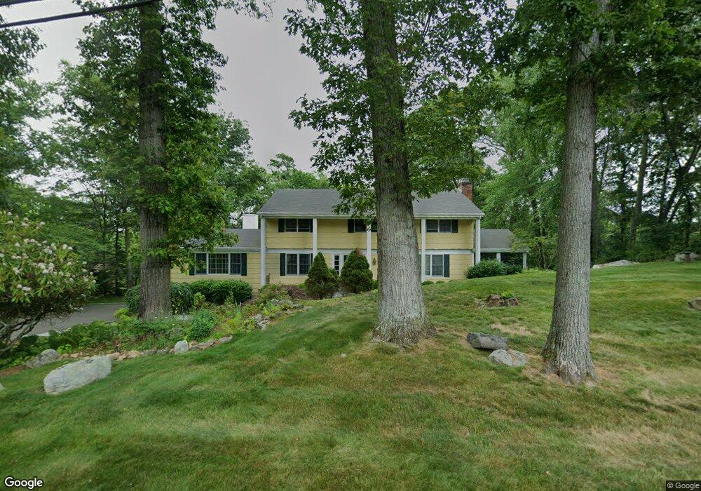
246 Dundee Rd Stamford, CT 06903
North Stamford NeighborhoodEstimated Value: $1,067,000 - $1,235,865
4
Beds
3
Baths
3,816
Sq Ft
$303/Sq Ft
Est. Value
About This Home
This home is located at 246 Dundee Rd, Stamford, CT 06903 and is currently estimated at $1,156,966, approximately $303 per square foot. 246 Dundee Rd is a home located in Fairfield County with nearby schools including Roxbury School, Cloonan School, and Westhill High School.
Ownership History
Date
Name
Owned For
Owner Type
Purchase Details
Closed on
Aug 1, 1996
Sold by
Tizik Paul J and Fox Patricia
Bought by
Mastoloni Raymond and Mastoloni Kirsten
Current Estimated Value
Home Financials for this Owner
Home Financials are based on the most recent Mortgage that was taken out on this home.
Original Mortgage
$220,000
Interest Rate
8.5%
Mortgage Type
Unknown
Purchase Details
Closed on
Aug 30, 1993
Sold by
Lederman Ira
Bought by
Tizik Paul and Fox Patricia
Create a Home Valuation Report for This Property
The Home Valuation Report is an in-depth analysis detailing your home's value as well as a comparison with similar homes in the area
Home Values in the Area
Average Home Value in this Area
Purchase History
| Date | Buyer | Sale Price | Title Company |
|---|---|---|---|
| Mastoloni Raymond | $420,000 | -- | |
| Tizik Paul | $425,750 | -- |
Source: Public Records
Mortgage History
| Date | Status | Borrower | Loan Amount |
|---|---|---|---|
| Closed | Tizik Paul | $112,629 | |
| Open | Tizik Paul | $200,000 | |
| Closed | Tizik Paul | $200,000 | |
| Closed | Tizik Paul | $220,000 |
Source: Public Records
Tax History
| Year | Tax Paid | Tax Assessment Tax Assessment Total Assessment is a certain percentage of the fair market value that is determined by local assessors to be the total taxable value of land and additions on the property. | Land | Improvement |
|---|---|---|---|---|
| 2025 | $14,341 | $616,290 | $255,450 | $360,840 |
| 2024 | $14,027 | $616,290 | $255,450 | $360,840 |
| 2023 | $15,074 | $616,290 | $255,450 | $360,840 |
| 2022 | $12,980 | $492,980 | $193,520 | $299,460 |
| 2021 | $12,803 | $492,980 | $193,520 | $299,460 |
| 2020 | $12,487 | $492,980 | $193,520 | $299,460 |
| 2019 | $12,487 | $492,980 | $193,520 | $299,460 |
| 2018 | $12,053 | $492,980 | $193,520 | $299,460 |
| 2017 | $12,513 | $488,980 | $210,350 | $278,630 |
| 2016 | $12,136 | $488,980 | $210,350 | $278,630 |
| 2015 | $11,804 | $488,980 | $210,350 | $278,630 |
| 2014 | $11,398 | $488,980 | $210,350 | $278,630 |
Source: Public Records
Map
Nearby Homes
- 511 Den Rd
- 1895 Long Ridge Rd
- 43 Ridgecrest Rd
- 0 June Rd Unit LOT 1 24118127
- 107 Deepwood Rd
- 150 Wildwood Rd
- 48 Briarwood Ln
- 40 Wildwood Rd
- 15 Four Brooks Cir
- 490 June Rd
- 210 Red Fox Rd
- 27 Wellington Dr
- 1238 Westover Rd
- 40 Howard Rd
- 1215 Westover Rd
- 422 Scofieldtown Rd
- 1209 Westover Rd
- 23 Meeting House Rd
- 106 E Hunting Ridge Rd
- 10 Heritage Ln
Your Personal Tour Guide
Ask me questions while you tour the home.