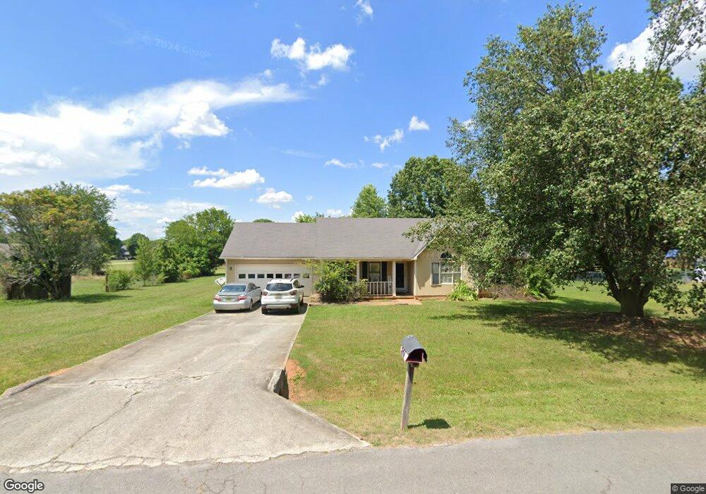
246 Frances Amelia Dr Huntsville, AL 35811
Moores Mill NeighborhoodEstimated Value: $229,000 - $267,000
--
Bed
--
Bath
1,302
Sq Ft
$190/Sq Ft
Est. Value
About This Home
This home is located at 246 Frances Amelia Dr, Huntsville, AL 35811 and is currently estimated at $247,413, approximately $190 per square foot. 246 Frances Amelia Dr is a home with nearby schools including Mt Carmel Elementary School, Riverton Intermediate School, and Buckhorn Middle School.
Ownership History
Date
Name
Owned For
Owner Type
Purchase Details
Closed on
Mar 22, 2005
Sold by
Mcrae Jerry
Bought by
Gladys Theundra D and Gladys Samuel E
Current Estimated Value
Home Financials for this Owner
Home Financials are based on the most recent Mortgage that was taken out on this home.
Original Mortgage
$81,600
Outstanding Balance
$46,808
Interest Rate
7.65%
Mortgage Type
Adjustable Rate Mortgage/ARM
Estimated Equity
$200,605
Create a Home Valuation Report for This Property
The Home Valuation Report is an in-depth analysis detailing your home's value as well as a comparison with similar homes in the area
Home Values in the Area
Average Home Value in this Area
Purchase History
| Date | Buyer | Sale Price | Title Company |
|---|---|---|---|
| Gladys Theundra D | $102,000 | -- |
Source: Public Records
Mortgage History
| Date | Status | Borrower | Loan Amount |
|---|---|---|---|
| Open | Gladys Theundra D | $81,600 |
Source: Public Records
Tax History Compared to Growth
Tax History
| Year | Tax Paid | Tax Assessment Tax Assessment Total Assessment is a certain percentage of the fair market value that is determined by local assessors to be the total taxable value of land and additions on the property. | Land | Improvement |
|---|---|---|---|---|
| 2024 | $1,568 | $44,160 | $10,000 | $34,160 |
| 2023 | $1,582 | $43,280 | $10,000 | $33,280 |
| 2022 | $1,111 | $30,600 | $2,100 | $28,500 |
| 2021 | $998 | $27,520 | $2,100 | $25,420 |
| 2020 | $893 | $24,640 | $2,100 | $22,540 |
| 2019 | $856 | $23,620 | $2,100 | $21,520 |
| 2018 | $805 | $22,240 | $0 | $0 |
| 2017 | $784 | $21,640 | $0 | $0 |
| 2016 | $784 | $21,640 | $0 | $0 |
| 2015 | $784 | $21,640 | $0 | $0 |
| 2014 | $776 | $21,440 | $0 | $0 |
Source: Public Records
Map
Nearby Homes
- 202 Frances Amelia Dr NE
- 235 Dormont Dr NE
- 223 Dormont Dr NE
- Lakeside-4 sides Brick Plan at Highland Hills
- Freeport-4 sides Brick Plan at Highland Hills
- Cali-4 sides Brick Plan at Highland Hills
- Kerry-4 sides Brick Plan at Highland Hills
- 220 Valleyside Dr NE
- 707 Winchester Rd NE
- Winston Pennington Ave
- The Winston Plan at Pennington
- The Bennington Plan at Pennington
- The Cambridge Plan at Pennington
- The Charleston Plan at Pennington
- The Manhattan Plan at Pennington
- The Raleigh Plan at Pennington
- The Savannah Plan at Pennington
- The Lincoln Plan at Pennington
- The Shelburne Plan at Pennington
- Bennington Pennington Ave
- 244 Frances Amelia Dr
- 248 Frances Amelia Dr
- 247 Frances Amelia Dr
- 249 Frances Amelia Dr
- 245 Frances Amelia Dr
- 242 Frances Amelia Dr
- 112 Wheat Ridge Rd NE
- 110 Wheat Ridge Rd NE
- 250 Frances Amelia Dr
- 243 Frances Amelia Dr
- 251 Frances Amelia Dr
- 114 Wheat Ridge Rd NE
- 108 Wheat Ridge Rd NE
- 240 Frances Amelia Dr
- 106 Molly Bette Dr
- 252 Frances Amelia Dr
- 110 Molly Bette Dr
- 108 Molly Bette Dr
- 253 Frances Amelia Dr
- 112 Molly Bette Dr