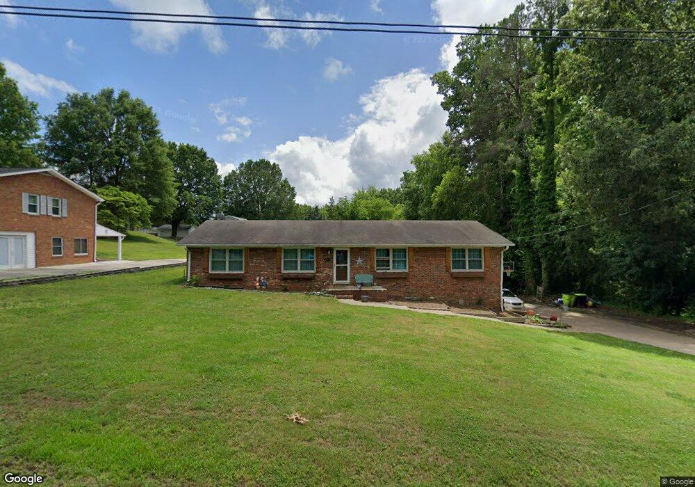
246 Keith Dr Winston Salem, NC 27107
Estimated Value: $256,586 - $369,000
3
Beds
2
Baths
2,997
Sq Ft
$95/Sq Ft
Est. Value
About This Home
This home is located at 246 Keith Dr, Winston Salem, NC 27107 and is currently estimated at $286,147, approximately $95 per square foot. 246 Keith Dr is a home located in Davidson County with nearby schools including Wallburg Elementary School, Oak Grove Middle School, and Oak Grove High School.
Ownership History
Date
Name
Owned For
Owner Type
Purchase Details
Closed on
Jun 27, 2005
Sold by
Richardson Robin S
Bought by
Barker Derek L
Current Estimated Value
Home Financials for this Owner
Home Financials are based on the most recent Mortgage that was taken out on this home.
Original Mortgage
$121,800
Outstanding Balance
$63,745
Interest Rate
5.7%
Mortgage Type
VA
Estimated Equity
$222,402
Purchase Details
Closed on
May 7, 2004
Sold by
Fox Jimmie Lee
Bought by
Richardson Robin S
Purchase Details
Closed on
Dec 1, 2000
Bought by
Fox Jimmie Lee
Create a Home Valuation Report for This Property
The Home Valuation Report is an in-depth analysis detailing your home's value as well as a comparison with similar homes in the area
Home Values in the Area
Average Home Value in this Area
Purchase History
| Date | Buyer | Sale Price | Title Company |
|---|---|---|---|
| Barker Derek L | $130,000 | None Available | |
| Richardson Robin S | $123,500 | -- | |
| Fox Jimmie Lee | -- | -- |
Source: Public Records
Mortgage History
| Date | Status | Borrower | Loan Amount |
|---|---|---|---|
| Open | Barker Derek L | $121,800 |
Source: Public Records
Tax History Compared to Growth
Tax History
| Year | Tax Paid | Tax Assessment Tax Assessment Total Assessment is a certain percentage of the fair market value that is determined by local assessors to be the total taxable value of land and additions on the property. | Land | Improvement |
|---|---|---|---|---|
| 2025 | $928 | $140,670 | $0 | $0 |
| 2024 | $925 | $140,670 | $0 | $0 |
| 2023 | $925 | $140,670 | $0 | $0 |
| 2022 | $925 | $140,670 | $0 | $0 |
| 2021 | $887 | $140,670 | $0 | $0 |
| 2020 | $820 | $130,010 | $0 | $0 |
| 2019 | $832 | $130,010 | $0 | $0 |
| 2018 | $832 | $130,010 | $0 | $0 |
| 2017 | $832 | $130,010 | $0 | $0 |
| 2016 | $832 | $130,010 | $0 | $0 |
| 2015 | $832 | $130,010 | $0 | $0 |
| 2014 | $864 | $135,060 | $0 | $0 |
Source: Public Records
Map
Nearby Homes
- 470 Prescott Dr
- 111 Linville Ln
- 193 Redcoat Ln
- 0 Lee St
- 213 Red Hawk Ln
- 144 Westbridge Rd
- 386 Olde Lantern Dr
- 380 Olde Lantern Dr
- 387 Olde Lantern Dr
- 580 Tom Livengood Rd
- 134 New Forest Dr
- 3775 Friendship Ledford Rd
- 312 Olde Lantern Dr
- 150 New Forest Dr
- 298 Olde Lantern Dr
- 168 New Forest Dr
- 309 Olde Lantern Dr
- 184 New Forest Dr
- 270 Olde Lantern Dr
- 126 Castle Pond Dr