246 Littleton Rd Moultrie, GA 31768
Estimated Value: $302,567 - $427,000
--
Bed
1
Bath
2,000
Sq Ft
$173/Sq Ft
Est. Value
About This Home
This home is located at 246 Littleton Rd, Moultrie, GA 31768 and is currently estimated at $345,856, approximately $172 per square foot. 246 Littleton Rd is a home with nearby schools including Hamilton Elementary School, Willie J. Williams Middle School, and C.A. Gray Junior High School.
Ownership History
Date
Name
Owned For
Owner Type
Purchase Details
Closed on
Jun 7, 2018
Sold by
Littleton Hope Cherisse
Bought by
Littleton Clinton E
Current Estimated Value
Purchase Details
Closed on
Sep 17, 2013
Sold by
Littleton Clinton E
Bought by
Littleton Clinton E and Littleton Hope Cherisse
Create a Home Valuation Report for This Property
The Home Valuation Report is an in-depth analysis detailing your home's value as well as a comparison with similar homes in the area
Home Values in the Area
Average Home Value in this Area
Purchase History
| Date | Buyer | Sale Price | Title Company |
|---|---|---|---|
| Littleton Clinton E | -- | -- | |
| Littleton Clinton E | -- | -- |
Source: Public Records
Tax History Compared to Growth
Tax History
| Year | Tax Paid | Tax Assessment Tax Assessment Total Assessment is a certain percentage of the fair market value that is determined by local assessors to be the total taxable value of land and additions on the property. | Land | Improvement |
|---|---|---|---|---|
| 2024 | $2,419 | $116,705 | $3,711 | $112,994 |
| 2023 | $2,419 | $97,349 | $3,711 | $93,638 |
| 2022 | $2,161 | $92,774 | $3,298 | $89,476 |
| 2021 | $2,033 | $85,726 | $3,298 | $82,428 |
| 2020 | $1,912 | $79,361 | $3,298 | $76,063 |
| 2019 | $2,010 | $75,118 | $3,298 | $71,820 |
| 2018 | $1,921 | $75,118 | $3,298 | $71,820 |
| 2017 | $2,039 | $76,913 | $5,093 | $71,820 |
| 2016 | $2,066 | $76,913 | $5,093 | $71,820 |
| 2015 | $2,085 | $76,913 | $5,093 | $71,820 |
| 2014 | $1,988 | $74,793 | $5,093 | $69,700 |
| 2013 | -- | $74,792 | $5,092 | $69,700 |
Source: Public Records
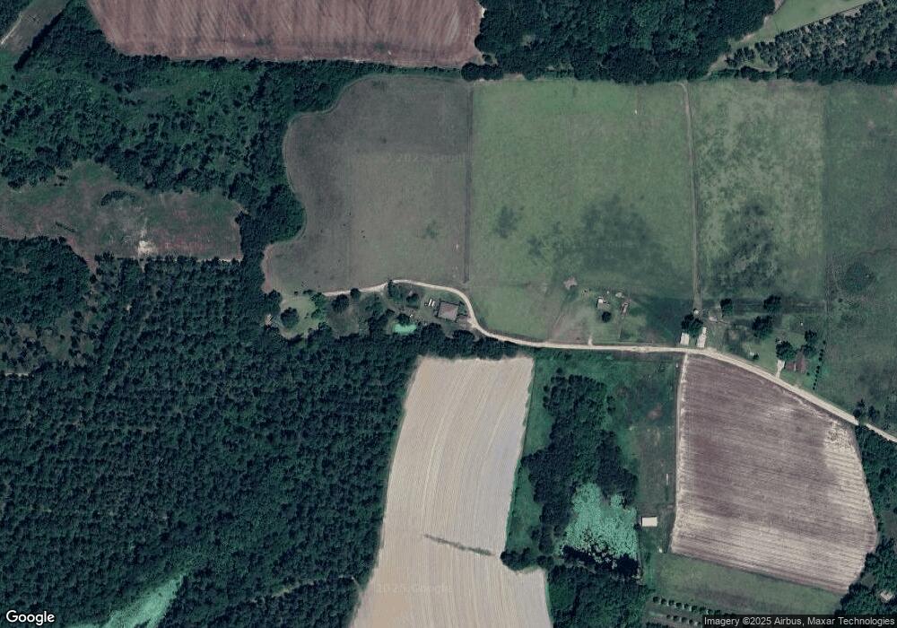
Map
Nearby Homes
- 1214 Erve Williams Rd
- 0 Kendallwood Dr Unit 1652301
- 182 Mcginty Rd
- 3007 Zion Grove Church Rd
- 5322 Georgia 111
- 219 Cox Dairy Rd
- 1291 Myron Hart Rd
- 900 Monroe Jackson Rd
- 1459 Georgia 202
- xx Ga Hwy 319 N
- 1557 US Highway 319 S
- 265 Lb Nevels Rd
- 117 Will Rd
- 135 Southlake Dr
- 10 Hummingbird Rd
- 00 Ragin Rd Unit 7
- 00 Ragin Rd Unit 12
- XX Us Highway 319 S Unit 8-11
- Lot 3 Hummingbird Ln
- 39 Hummingbird Rd
- 218 Littleton Rd
- 218 Littleton Rd
- 3077 Lower Meigs Rd
- 3297 Bay Rockyford Rd
- 3054 Lower Meigs Rd
- 3054 Lower Meigs Rd
- 138 Littleton Rd
- 3201 Bay Rockyford Rd
- 3151 Lower Meigs Rd
- 102 Littleton Rd
- 102 Littleton Rd
- 3060 Bay Rockyford Rd
- 3346 Lower Meigs Rd
- 3377 Lower Meigs Rd
- 2808 Lower Meigs Rd
- 2720 Lower Meigs Rd
- 3446 Lower Meigs Rd
- 2854 Bay Rockyford Rd
- 3447 Lower Meigs Rd
- 3318 Bay Rockyford Rd