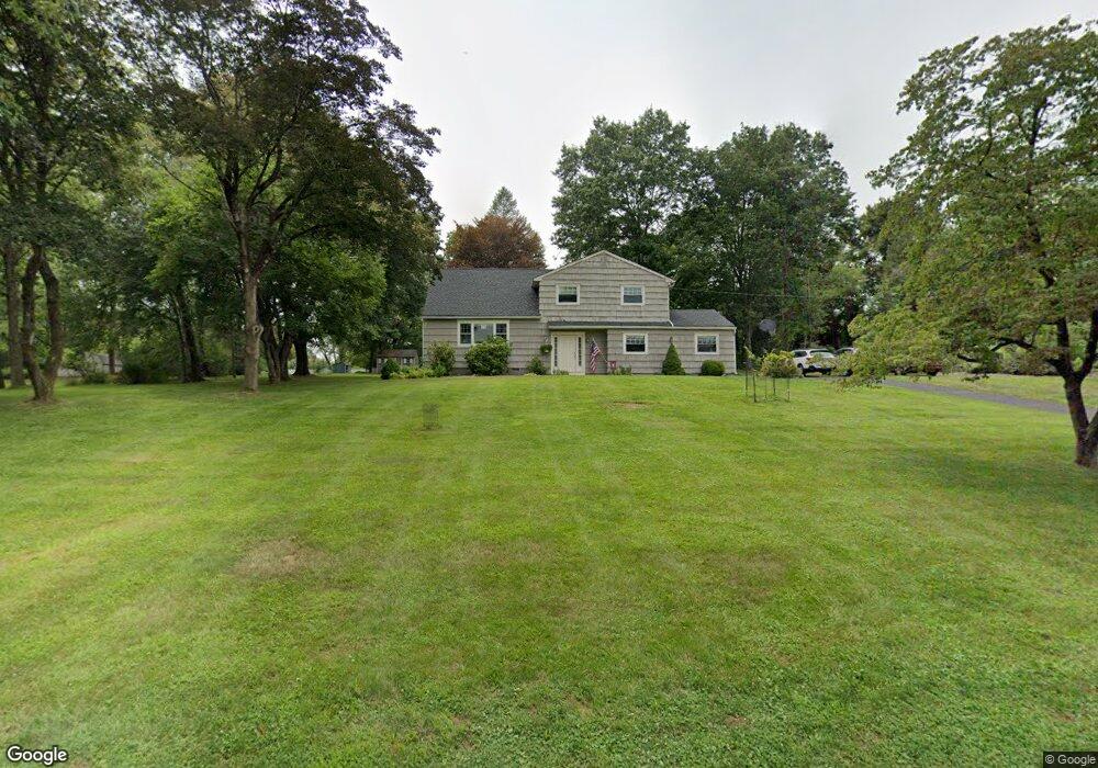
246 Lurline Dr Basking Ridge, NJ 07920
Estimated Value: $841,935 - $951,000
--
Bed
--
Bath
1,913
Sq Ft
$469/Sq Ft
Est. Value
About This Home
This home is located at 246 Lurline Dr, Basking Ridge, NJ 07920 and is currently estimated at $897,984, approximately $469 per square foot. 246 Lurline Dr is a home located in Somerset County with nearby schools including Liberty Corner Elementary School, William Annin Middle School, and Ridge High School.
Ownership History
Date
Name
Owned For
Owner Type
Purchase Details
Closed on
Jun 29, 2000
Sold by
Veinbachs Arnold
Bought by
Chase Carl and Chase Cynthia
Current Estimated Value
Home Financials for this Owner
Home Financials are based on the most recent Mortgage that was taken out on this home.
Original Mortgage
$193,250
Outstanding Balance
$70,718
Interest Rate
8.55%
Estimated Equity
$827,266
Create a Home Valuation Report for This Property
The Home Valuation Report is an in-depth analysis detailing your home's value as well as a comparison with similar homes in the area
Home Values in the Area
Average Home Value in this Area
Purchase History
| Date | Buyer | Sale Price | Title Company |
|---|---|---|---|
| Chase Carl | $333,250 | -- |
Source: Public Records
Mortgage History
| Date | Status | Borrower | Loan Amount |
|---|---|---|---|
| Open | Chase Carl | $193,250 |
Source: Public Records
Tax History Compared to Growth
Tax History
| Year | Tax Paid | Tax Assessment Tax Assessment Total Assessment is a certain percentage of the fair market value that is determined by local assessors to be the total taxable value of land and additions on the property. | Land | Improvement |
|---|---|---|---|---|
| 2025 | $11,964 | $750,300 | $431,800 | $318,500 |
| 2024 | $11,964 | $672,500 | $401,800 | $270,700 |
| 2023 | $11,848 | $628,200 | $401,800 | $226,400 |
| 2022 | $11,616 | $577,600 | $371,800 | $205,800 |
| 2021 | $10,965 | $548,300 | $361,800 | $186,500 |
| 2020 | $11,169 | $533,400 | $356,800 | $176,600 |
| 2019 | $11,030 | $542,300 | $356,800 | $185,500 |
| 2018 | $10,807 | $539,000 | $361,800 | $177,200 |
| 2017 | $10,434 | $524,600 | $361,800 | $162,800 |
| 2016 | $10,280 | $526,900 | $361,800 | $165,100 |
| 2015 | $9,810 | $512,000 | $361,800 | $150,200 |
| 2014 | $9,887 | $511,200 | $356,800 | $154,400 |
Source: Public Records
Map
Nearby Homes
- 10 Baldwin Ave
- 22 Woodward Ln
- 14 Woodward Ln
- 67 Woodward Ln
- 267 English Place
- 279 English Place
- 44 Manor Dr
- 227 Arrowood Way
- 7 Chestnut Ct
- 247 Lyons Rd
- 341 Penns Way Unit D2
- 2305 Privet Way
- 234 Liberty Corner Rd
- 23 Hampton Ct
- 138 Alexandria Way Condo Unit 138
- 213 Liberty Corner Rd
- 12 Wayne Terrace
- 242 Alexandria Way
- 10 Nancy Ln
- 49 Alexandria Way Unit 5
- 240 Lurline Dr
- 11 Hessian St
- 11 Hessian Dr
- 129 Lurline Dr
- 239 Lurline Dr
- 124 Lurline Dr
- 1250 Mount Airy Rd
- 10 Hessian Dr
- 236 Lurline Dr
- 44 Wedgewood Dr
- 1256 Mount Airy Rd
- 225 Lurline Dr
- 1236 Mount Airy Rd
- 125 Lurline Dr
- 228 Lurline Dr
- 112 Lurline Dr
- 45 Wedgewood Dr
- 1262 Mount Airy Rd
- 119 Lurline Dr
- 2 Lafayette Ln