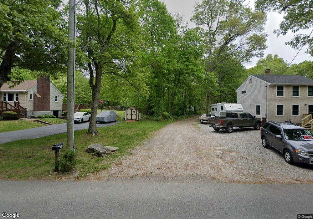
246 Mistuxet Ave Mystic, CT 06355
Mystic NeighborhoodEstimated Value: $472,000 - $670,423
2
Beds
3
Baths
1,525
Sq Ft
$387/Sq Ft
Est. Value
About This Home
This home is located at 246 Mistuxet Ave, Mystic, CT 06355 and is currently estimated at $590,106, approximately $386 per square foot. 246 Mistuxet Ave is a home with nearby schools including Stonington Middle School, Stonington High School, and Pine Point School.
Ownership History
Date
Name
Owned For
Owner Type
Purchase Details
Closed on
Dec 21, 2004
Sold by
Thames River Dev Co Lp
Bought by
Way Judith
Current Estimated Value
Home Financials for this Owner
Home Financials are based on the most recent Mortgage that was taken out on this home.
Original Mortgage
$175,000
Outstanding Balance
$87,348
Interest Rate
5.68%
Mortgage Type
Commercial
Estimated Equity
$502,758
Purchase Details
Closed on
Jul 14, 1983
Bought by
White William B
Create a Home Valuation Report for This Property
The Home Valuation Report is an in-depth analysis detailing your home's value as well as a comparison with similar homes in the area
Home Values in the Area
Average Home Value in this Area
Purchase History
| Date | Buyer | Sale Price | Title Company |
|---|---|---|---|
| Way Judith | $265,215 | -- | |
| Way Judith | $265,215 | -- | |
| White William B | -- | -- |
Source: Public Records
Mortgage History
| Date | Status | Borrower | Loan Amount |
|---|---|---|---|
| Open | White William B | $175,000 | |
| Closed | White William B | $175,000 |
Source: Public Records
Tax History Compared to Growth
Tax History
| Year | Tax Paid | Tax Assessment Tax Assessment Total Assessment is a certain percentage of the fair market value that is determined by local assessors to be the total taxable value of land and additions on the property. | Land | Improvement |
|---|---|---|---|---|
| 2025 | $6,990 | $360,700 | $89,900 | $270,800 |
| 2024 | $6,709 | $360,700 | $89,900 | $270,800 |
| 2023 | $6,673 | $360,700 | $89,900 | $270,800 |
| 2022 | $5,816 | $233,500 | $72,800 | $160,700 |
| 2021 | $5,660 | $225,500 | $72,800 | $152,700 |
| 2020 | $5,550 | $225,500 | $72,800 | $152,700 |
| 2019 | $5,550 | $225,500 | $72,800 | $152,700 |
| 2018 | $5,374 | $225,500 | $72,800 | $152,700 |
| 2017 | $5,476 | $227,900 | $76,000 | $151,900 |
| 2016 | $5,324 | $227,900 | $76,000 | $151,900 |
| 2015 | $5,075 | $227,900 | $76,000 | $151,900 |
| 2014 | $4,838 | $227,900 | $76,000 | $151,900 |
Source: Public Records
Map
Nearby Homes
- 215 Pequotsepos Rd
- 59 Montauk Ave
- 301 Montauk Ave
- 174 Montauk Ave
- 16 Juniper Ln
- 38 Rossie St
- 0 Smail St Unit 24066473
- 75 Montauk Ave
- 28 Rossie St
- 20 Lambs Way
- 30 Cove Rd
- 44 Williams Ave
- 10 Pleasant St
- 17 Old Stonington Rd
- 16 Montauk Ave
- 17 Roosevelt Ave
- 66 Collins Rd
- 9 Kingfisher Way
- 6 Kingfisher Way
- 1189 Pequot Trail
- 228 Mistuxet Ave
- 232 Mistuxet Ave
- 244 Mistuxet Ave
- 224 Mistuxet Ave
- 220 Mistuxet Ave
- 252 Mistuxet Ave
- 211 Mistuxet Ave
- 200C Mistuxet Ave
- 257 Mistuxet Ave
- 202 Mistuxet Ave
- 232 Cove Rd
- 275 Mistuxet Ave
- 230 Cove Rd
- 211 Cove Rd
- 276 Cove Rd
- 190 Mistuxet Ave
- 197 Cove Rd
- 193 Cove Rd
- 186 Mistuxet Ave
- 200 A & B Mistuxet Ave