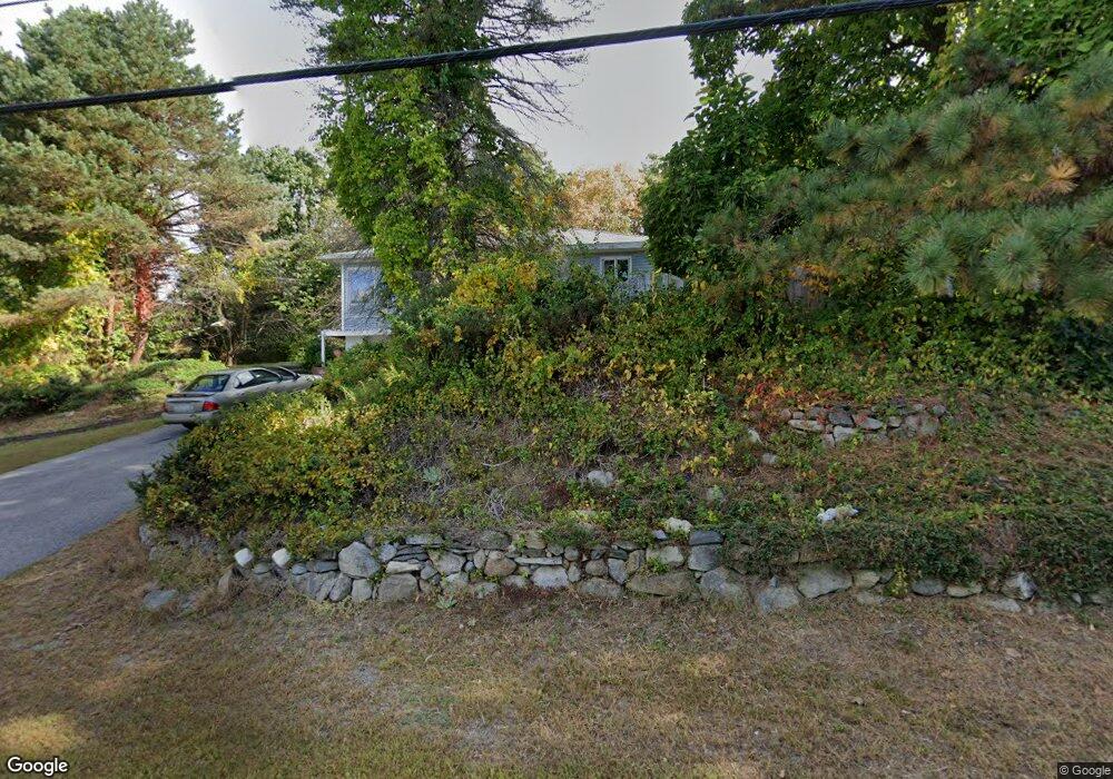
246 Sherburne Ave Tyngsboro, MA 01879
Estimated Value: $524,000 - $606,000
3
Beds
1
Bath
1,661
Sq Ft
$341/Sq Ft
Est. Value
About This Home
This home is located at 246 Sherburne Ave, Tyngsboro, MA 01879 and is currently estimated at $566,946, approximately $341 per square foot. 246 Sherburne Ave is a home located in Middlesex County with nearby schools including Tyngsborough Elementary School, Tyngsborough Middle School, and Tyngsborough High School.
Ownership History
Date
Name
Owned For
Owner Type
Purchase Details
Closed on
Aug 23, 1991
Sold by
Roberge Lee A
Bought by
Worthy Lynn C
Current Estimated Value
Home Financials for this Owner
Home Financials are based on the most recent Mortgage that was taken out on this home.
Original Mortgage
$127,692
Interest Rate
9.55%
Mortgage Type
Purchase Money Mortgage
Create a Home Valuation Report for This Property
The Home Valuation Report is an in-depth analysis detailing your home's value as well as a comparison with similar homes in the area
Home Values in the Area
Average Home Value in this Area
Purchase History
| Date | Buyer | Sale Price | Title Company |
|---|---|---|---|
| Worthy Lynn C | $130,000 | -- |
Source: Public Records
Mortgage History
| Date | Status | Borrower | Loan Amount |
|---|---|---|---|
| Open | Worthy Lynn C | $32,345 | |
| Closed | Worthy Lynn C | $127,692 |
Source: Public Records
Tax History Compared to Growth
Tax History
| Year | Tax Paid | Tax Assessment Tax Assessment Total Assessment is a certain percentage of the fair market value that is determined by local assessors to be the total taxable value of land and additions on the property. | Land | Improvement |
|---|---|---|---|---|
| 2025 | $58 | $467,300 | $244,000 | $223,300 |
| 2024 | $5,504 | $432,700 | $231,000 | $201,700 |
| 2023 | $5,294 | $374,400 | $191,800 | $182,600 |
| 2022 | $5,032 | $336,800 | $167,800 | $169,000 |
| 2021 | $3,842 | $305,300 | $152,600 | $152,700 |
| 2020 | $4,615 | $284,000 | $143,800 | $140,200 |
| 2019 | $4,593 | $271,300 | $137,300 | $134,000 |
| 2018 | $5,008 | $263,800 | $137,300 | $126,500 |
| 2017 | $4,245 | $247,400 | $137,300 | $110,100 |
| 2016 | $4,167 | $237,300 | $137,300 | $100,000 |
| 2015 | $4,025 | $237,300 | $137,300 | $100,000 |
Source: Public Records
Map
Nearby Homes
- 15 Dowling Dr
- 1461 Pawtucket Blvd Unit 12
- 1401 Pawtucket Blvd Unit 10
- 1370 Varnum Ave
- 730 Wellman Ave
- 271 Wellman Ave
- 251 Wellman Ave Unit 251
- 739 Wellman Ave
- 330 Wellman Ave
- 436 Wellman Ave
- 863 Wellman Ave Unit 863
- 12 Trotting Park Rd
- 14 Trotting Park Rd
- 20 Sandy Ln
- 10 Butterfield St
- 1 Hope St
- 5 Mission Rd Unit 107
- 33 Kennedy Dr Unit 33
- 6 Louis Farm Rd Unit 6
- 3 Louis Farm Rd Unit 3
- 14 Constance Dr
- 238 Sherburne Ave
- 30 Constance Dr
- 22 Constance Dr
- 242 Sherburne Ave
- 40 Constance Dr
- 241 Sherburne Ave
- 48 Constance Dr
- 1619 Varnum Ave
- 245 Sherburne Ave
- 236 Sherburne Ave
- 23 Constance Dr
- 29 Constance Dr
- 237 Sherburne Ave
- 45 Constance Dr
- 35 Constance Dr
- 53 Constance Dr
- 64 Constance Dr
- 1614 Varnum Ave
- 61 Constance Dr