246 W Georgetown Rd Georgetown, ME 04548
Georgetown NeighborhoodEstimated Value: $533,000 - $608,000
3
Beds
2
Baths
1,728
Sq Ft
$331/Sq Ft
Est. Value
About This Home
This home is located at 246 W Georgetown Rd, Georgetown, ME 04548 and is currently estimated at $572,748, approximately $331 per square foot. 246 W Georgetown Rd is a home located in Sagadahoc County with nearby schools including Georgetown Central School.
Ownership History
Date
Name
Owned For
Owner Type
Purchase Details
Closed on
Sep 28, 2016
Sold by
Adams Paul A Sr Est
Bought by
Adams Gary B and Adams Carol
Current Estimated Value
Purchase Details
Closed on
May 23, 2012
Sold by
Keith & Diana Wilson Ret
Bought by
Adams Paul A and Adams Joyce
Home Financials for this Owner
Home Financials are based on the most recent Mortgage that was taken out on this home.
Original Mortgage
$190,000
Outstanding Balance
$131,518
Interest Rate
3.88%
Mortgage Type
New Conventional
Estimated Equity
$441,230
Create a Home Valuation Report for This Property
The Home Valuation Report is an in-depth analysis detailing your home's value as well as a comparison with similar homes in the area
Home Values in the Area
Average Home Value in this Area
Purchase History
| Date | Buyer | Sale Price | Title Company |
|---|---|---|---|
| Adams Gary B | -- | -- | |
| Adams Gary B | -- | -- | |
| Adams Paul A | -- | -- |
Source: Public Records
Mortgage History
| Date | Status | Borrower | Loan Amount |
|---|---|---|---|
| Open | Adams Paul A | $190,000 |
Source: Public Records
Tax History
| Year | Tax Paid | Tax Assessment Tax Assessment Total Assessment is a certain percentage of the fair market value that is determined by local assessors to be the total taxable value of land and additions on the property. | Land | Improvement |
|---|---|---|---|---|
| 2024 | $2,731 | $453,600 | $169,400 | $284,200 |
| 2023 | $2,644 | $271,200 | $94,100 | $177,100 |
| 2022 | $2,397 | $271,200 | $94,100 | $177,100 |
| 2021 | $2,237 | $271,200 | $94,100 | $177,100 |
| 2020 | $2,197 | $271,200 | $94,100 | $177,100 |
| 2019 | $2,115 | $271,200 | $94,100 | $177,100 |
| 2018 | $2,088 | $271,200 | $94,100 | $177,100 |
| 2017 | $2,075 | $271,200 | $94,100 | $177,100 |
| 2016 | $2,075 | $271,200 | $94,100 | $177,100 |
| 2015 | $2,001 | $271,200 | $94,100 | $177,100 |
| 2014 | $2,001 | $271,200 | $94,100 | $177,100 |
| 2013 | $1,905 | $268,300 | $94,100 | $174,200 |
Source: Public Records
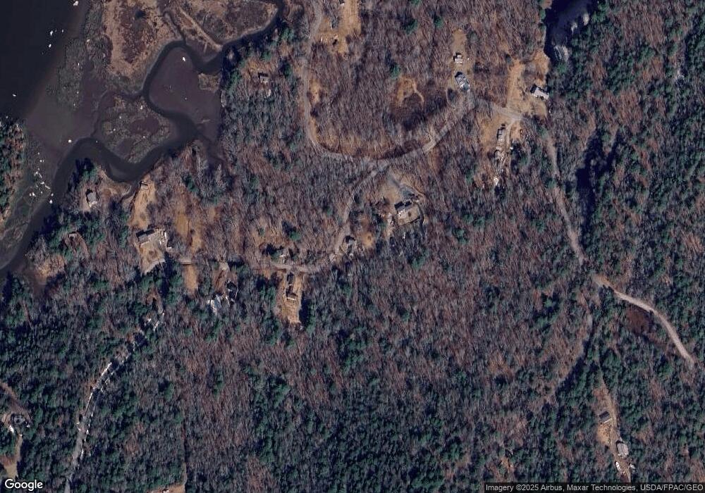
Map
Nearby Homes
- Lot# 9 Kennebec Shores Rd
- 15 Church Ln
- 17-1 Bald Head Rd
- 245 Five Islands Rd
- 16 Spinney Point Ln
- 47 Snowman Ln
- 0 Victory Ln
- 1 Plum Ln Unit D
- 61 N End Rd
- 15 Blueberry Hill Rd
- 25 N End Rd
- 68 Narrows Way
- 40 Knubble Rd
- 0 Main Rd
- Lot 5 Sagamore Dr
- Lot 5 Sagamore Dr Unit 5
- Lot 3 Sagamore Dr Unit 3
- Lot 3 Sagamore Dr
- 1682 &1676 Main Rd
- 140 Clifford Rd
- 250 W Georgetown Rd
- 208 W Georgetown Rd
- 259 W Georgetown Rd
- 258 W Georgetown Rd
- 215 W Georgetown Rd
- 205 W Georgetown Rd
- 266 W Georgetown Rd
- 277 W Georgetown Rd
- 20 Marrtown Rd
- 34 Marrtown Rd
- 295 W Georgetown Rd
- 10 Marrtown Rd
- 78 Marrtown Rd
- 19 Rotunda Hill Rd
- 141 W Georgetown Rd
- 81 Williams Rd
- 80 Williams Rd
- 23 Rotunda Hill Rd
- 313 W Georgetown Rd
- 312 W Georgetown Rd
Your Personal Tour Guide
Ask me questions while you tour the home.