24624 Butternut Dr Sturgis, MI 49091
Estimated Value: $176,000 - $690,000
--
Bed
--
Bath
--
Sq Ft
5.8
Acres
About This Home
This home is located at 24624 Butternut Dr, Sturgis, MI 49091 and is currently estimated at $381,652. 24624 Butternut Dr is a home located in St. Joseph County with nearby schools including Centreville Elementary School, Centreville Junior/Senior High School, and Nottawa Christian Day School.
Ownership History
Date
Name
Owned For
Owner Type
Purchase Details
Closed on
Jan 30, 2010
Sold by
Templin Thomas J and Templin Lorena L
Bought by
Eash Bernard E and Eash Barbara K
Current Estimated Value
Purchase Details
Closed on
Apr 28, 2006
Sold by
Templin Thomas J and Templin Lorena L
Bought by
Pheasant Ridge Development Co Inc
Purchase Details
Closed on
Jan 8, 2003
Sold by
Pheasant Ridge Development Co
Bought by
Island Hills Properties Inc
Create a Home Valuation Report for This Property
The Home Valuation Report is an in-depth analysis detailing your home's value as well as a comparison with similar homes in the area
Home Values in the Area
Average Home Value in this Area
Purchase History
| Date | Buyer | Sale Price | Title Company |
|---|---|---|---|
| Eash Bernard E | $19,000 | Patrick Abstract | |
| Pheasant Ridge Development Co Inc | -- | None Available | |
| Island Hills Properties Inc | -- | -- |
Source: Public Records
Tax History Compared to Growth
Tax History
| Year | Tax Paid | Tax Assessment Tax Assessment Total Assessment is a certain percentage of the fair market value that is determined by local assessors to be the total taxable value of land and additions on the property. | Land | Improvement |
|---|---|---|---|---|
| 2025 | $522 | $60,400 | $56,200 | $4,200 |
| 2024 | $189 | $50,800 | $47,900 | $2,900 |
| 2023 | $180 | $27,500 | $25,000 | $2,500 |
| 2022 | $0 | $23,500 | $21,300 | $2,200 |
| 2021 | $281 | $19,400 | $19,400 | $0 |
| 2020 | $164 | $19,400 | $19,400 | $0 |
| 2019 | $161 | $19,400 | $19,400 | $0 |
| 2018 | $404 | $19,400 | $19,400 | $0 |
| 2017 | $392 | $19,400 | $19,400 | $0 |
| 2016 | -- | $19,400 | $19,400 | $0 |
| 2015 | -- | $16,800 | $16,800 | $0 |
| 2014 | -- | $14,200 | $14,200 | $0 |
| 2012 | -- | $14,400 | $14,400 | $0 |
Source: Public Records
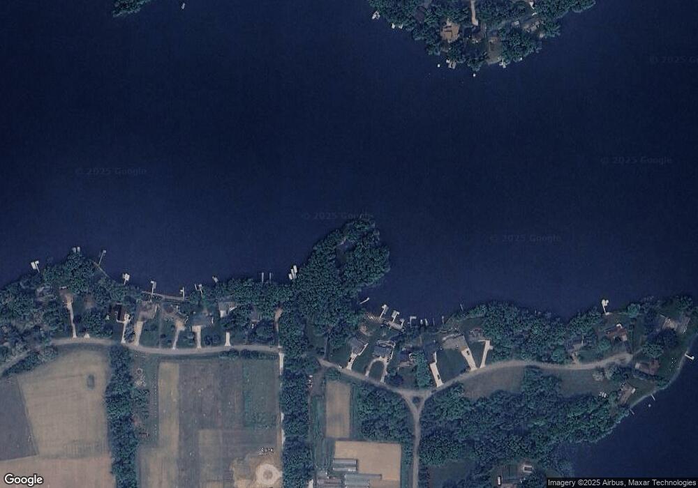
Map
Nearby Homes
- 61984 Bayshore Dr
- V/L Hunters Point Dr Unit 76
- 61570 Raintree Blvd
- V/L Raintree Blvd
- 23974 Findley Rd
- 61672 Crystal Beach Dr
- 61704 Crystal Beach Dr
- 25722 Rainbow Dr
- 128 V/L Island Hills Dr
- 0 Rainbow Dr
- 60584 Wallman Dr
- V/L Banker St
- 65289 Balk Rd
- 204 E Burr Oak St
- 228 S Dean St
- 340 W Railroad St
- 353 W Burr Oak St
- 376 W Charlotte St
- 242 Birkhold St
- 0 V L M66- 102+ - Unit 24045986
- 24624 Butternut Dr
- 24638 Butternut Dr
- 24610 Butternut Dr
- 24656 Butternut Dr
- Lot 25-26 Butternut
- 24688 Butternut Dr
- 24590 Butternut Dr
- 24714 Butternut Dr
- 24562 Butternut Dr
- 24734 Butternut Dr
- 24754 Butternut Ct
- 24768 Butternut Ct
- 24800 Butternut Ct
- 0 Butternut Ct
- 24751 Lakewood Cir
- 24781 Lakewood Cir
- 24731 Lakewood Cir
- 24844 Butternut Ct
- 24811 Lakewood Cir
- 24730 Lakewood Cir