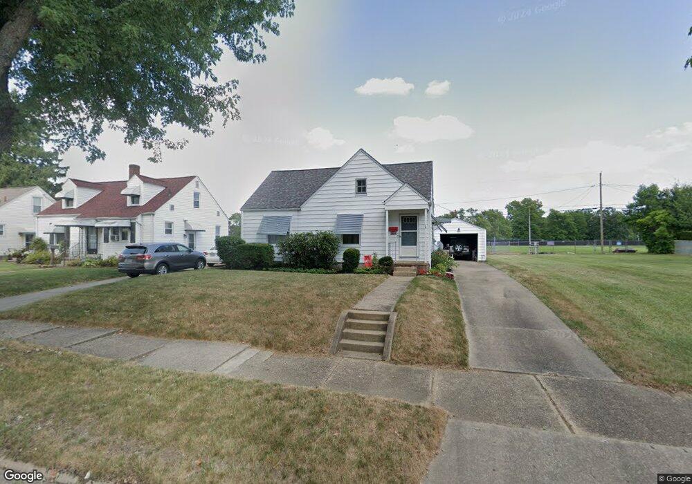
2464 Shunk Ave Alliance, OH 44601
Estimated Value: $117,514 - $168,000
2
Beds
1
Bath
768
Sq Ft
$184/Sq Ft
Est. Value
About This Home
This home is located at 2464 Shunk Ave, Alliance, OH 44601 and is currently estimated at $141,129, approximately $183 per square foot. 2464 Shunk Ave is a home located in Stark County with nearby schools including Alliance Elementary School at Rockhill, Alliance Intermediate School at Northside, and Alliance Middle School.
Ownership History
Date
Name
Owned For
Owner Type
Purchase Details
Closed on
Mar 7, 2008
Sold by
Will Ann
Bought by
Hawley William T
Current Estimated Value
Home Financials for this Owner
Home Financials are based on the most recent Mortgage that was taken out on this home.
Original Mortgage
$50,000
Interest Rate
5.51%
Mortgage Type
Purchase Money Mortgage
Purchase Details
Closed on
Feb 22, 1991
Create a Home Valuation Report for This Property
The Home Valuation Report is an in-depth analysis detailing your home's value as well as a comparison with similar homes in the area
Home Values in the Area
Average Home Value in this Area
Purchase History
We collect this data history from publicly available records. To have your information removed, we recommend requesting removal directly through your county’s website.
| Date | Buyer | Sale Price | Title Company |
|---|---|---|---|
| Hawley William T | $72,000 | Heritage Union Title Co Ltd | |
| -- | -- | -- |
Source: Public Records
Mortgage History
We collect this data history from publicly available records. To have your information removed, we recommend requesting removal directly through your county’s website.
| Date | Status | Borrower | Loan Amount |
|---|---|---|---|
| Closed | Hawley William T | $50,000 |
Source: Public Records
Tax History
| Year | Tax Paid | Tax Assessment Tax Assessment Total Assessment is a certain percentage of the fair market value that is determined by local assessors to be the total taxable value of land and additions on the property. | Land | Improvement |
|---|---|---|---|---|
| 2025 | -- | $23,070 | $10,290 | $12,780 |
| 2024 | -- | $23,070 | $10,290 | $12,780 |
| 2023 | $237 | $23,880 | $8,020 | $15,860 |
| 2022 | $483 | $23,880 | $8,020 | $15,860 |
| 2021 | $967 | $23,880 | $8,020 | $15,860 |
| 2020 | $876 | $20,200 | $6,970 | $13,230 |
| 2019 | $863 | $20,210 | $6,970 | $13,240 |
| 2018 | $868 | $20,210 | $6,970 | $13,240 |
| 2017 | $783 | $17,930 | $6,440 | $11,490 |
| 2016 | $840 | $19,080 | $6,440 | $12,640 |
| 2015 | $847 | $19,080 | $6,440 | $12,640 |
| 2014 | $813 | $17,440 | $5,880 | $11,560 |
| 2013 | $406 | $17,440 | $5,880 | $11,560 |
Source: Public Records
Map
Nearby Homes
- 2625 Belleflower Dr
- 2616 Ridgewood Ave
- 2144 Ridgewood Ave
- 392 Maplewood Dr
- 2031 Ridgewood Ave
- 421 Linwood Dr
- 2520 Pleasant Place
- 2145 Cherry Ave
- 2135 Cherry Ave
- 3116 Ridgehill Ave
- 2435 Eastern Ave
- 1120 W Milton St
- 2417 S Arch Ave
- 2138 Watson Ave
- 2540 Edgewood Ave
- 1539 Parkway Blvd
- 2650 Center Ave
- 24865 Center Ave
- 29 Colony Dr
- 31 Colony Dr
- 2445 Shunk Ave
- 2437 Shunk Ave
- 2455 Shunk Ave
- 2427 Shunk Ave
- 2465 Shunk Ave
- 2421 Shunk Ave
- 2450 Belleflower Dr
- 2475 Shunk Ave
- 2411 Shunk Ave
- 2470 Belleflower Dr
- 2446 Shunk Ave
- 2444 Belleflower Dr
- 2436 Shunk Ave
- 2454 Shunk Ave
- 2503 Shunk Ave
- 2401 Shunk Ave
- 2422 Shunk Ave
- 2490 Belleflower Dr
- 2400 Shunk Ave
- 2474 Shunk Ave
Your Personal Tour Guide
Ask me questions while you tour the home.