2464 Utility Rd Rocky Face, GA 30740
Estimated Value: $350,730 - $441,000
--
Bed
2
Baths
2,272
Sq Ft
$172/Sq Ft
Est. Value
About This Home
This home is located at 2464 Utility Rd, Rocky Face, GA 30740 and is currently estimated at $391,433, approximately $172 per square foot. 2464 Utility Rd is a home located in Whitfield County with nearby schools including Westside Elementary School, Westside Middle School, and Northwest Whitfield County High School.
Ownership History
Date
Name
Owned For
Owner Type
Purchase Details
Closed on
Jun 9, 2016
Sold by
Coley Vernon Lamar
Bought by
Coley Vernon Lamar and Coley Linda L
Current Estimated Value
Home Financials for this Owner
Home Financials are based on the most recent Mortgage that was taken out on this home.
Original Mortgage
$136,000
Outstanding Balance
$60,858
Interest Rate
3.57%
Mortgage Type
New Conventional
Estimated Equity
$330,575
Create a Home Valuation Report for This Property
The Home Valuation Report is an in-depth analysis detailing your home's value as well as a comparison with similar homes in the area
Home Values in the Area
Average Home Value in this Area
Purchase History
| Date | Buyer | Sale Price | Title Company |
|---|---|---|---|
| Coley Vernon Lamar | -- | -- | |
| Coley Vernon Lamar | $188,000 | -- |
Source: Public Records
Mortgage History
| Date | Status | Borrower | Loan Amount |
|---|---|---|---|
| Open | Coley Vernon Lamar | $136,000 | |
| Closed | Coley Vernon Lamar | $136,000 |
Source: Public Records
Tax History Compared to Growth
Tax History
| Year | Tax Paid | Tax Assessment Tax Assessment Total Assessment is a certain percentage of the fair market value that is determined by local assessors to be the total taxable value of land and additions on the property. | Land | Improvement |
|---|---|---|---|---|
| 2024 | $680 | $124,673 | $21,728 | $102,945 |
| 2023 | $1,206 | $87,586 | $14,748 | $72,838 |
| 2022 | $770 | $72,831 | $12,432 | $60,399 |
| 2021 | $771 | $72,831 | $12,432 | $60,399 |
| 2020 | $824 | $72,831 | $12,432 | $60,399 |
| 2019 | $850 | $72,831 | $12,432 | $60,399 |
| 2018 | $809 | $70,680 | $10,281 | $60,399 |
| 2017 | $1,935 | $70,680 | $10,281 | $60,399 |
| 2016 | $1,717 | $65,501 | $10,281 | $55,220 |
| 2014 | $1,439 | $60,839 | $8,780 | $52,058 |
| 2013 | -- | $60,838 | $8,780 | $52,058 |
Source: Public Records
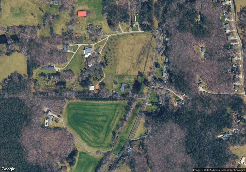
Map
Nearby Homes
- 2335 Coley Farm Rd
- 2386 Utility Rd
- 0 Quarles Rd Unit 1523297
- 110 Windy Hill Dr
- 0 Lafayette Unit 131389
- 35 acres Lafayette Rd
- 35 Acres Lafayette Rd
- 2906 Davis Rd
- 2950 Davis Rd
- Lot 20 Plum St
- 0 Plum St Unit 7553901
- 0 Plum St Unit 10493446
- 0 Bluff View Trace
- 0 Freeman Springs Rd Unit 121469
- 0 Lamory Ln Unit 7494272
- 0 Lamory Ln Unit 10422540
- Lot 29 Highland Cir
- Lot 21 Highland Cir
- Lot 20 Highland Cir
- Lot 28 Highland Cir
- 2465 Utility Rd
- 2536 Utility Rd
- 2463 Utility Rd
- 2300 Coley Farm Rd
- 2467 Utility Rd
- 2453 Utility Rd
- 2445 Utility Rd
- 2517 Utility Rd
- 2529 Utility Rd
- 2435 Utility Rd
- 2339 Coley Farm Rd
- 2270 Coley Farm Rd
- 2492 Quarles Rd
- 2309 Coley Farm Rd
- 2319 Coley Farm Rd
- 2472 Quarles Rd
- 272 Utility Rd
- 2545 Utility Rd
- 2385 Utility Rd
- 2389 Utility Rd