2465 Belle Patrice Dr Cumming, GA 30041
Estimated Value: $1,053,000 - $1,229,000
6
Beds
6
Baths
3,443
Sq Ft
$327/Sq Ft
Est. Value
About This Home
This home is located at 2465 Belle Patrice Dr, Cumming, GA 30041 and is currently estimated at $1,126,525, approximately $327 per square foot. 2465 Belle Patrice Dr is a home located in Forsyth County with nearby schools including Haw Creek Elementary School, Lakeside Middle School, and South Forsyth High School.
Ownership History
Date
Name
Owned For
Owner Type
Purchase Details
Closed on
Oct 3, 2019
Sold by
Moore Ann R
Bought by
Kurian Thomas and Thomas Asha
Current Estimated Value
Home Financials for this Owner
Home Financials are based on the most recent Mortgage that was taken out on this home.
Original Mortgage
$461,250
Outstanding Balance
$295,110
Interest Rate
3.4%
Mortgage Type
New Conventional
Estimated Equity
$831,415
Purchase Details
Closed on
Dec 8, 2016
Sold by
William Michael
Bought by
Moore Derek Gordon and Moore Ann R
Purchase Details
Closed on
Aug 30, 2011
Sold by
Ashton Atlanta Residential
Bought by
Sherbert Michael William and Sherbert Shari Ann
Home Financials for this Owner
Home Financials are based on the most recent Mortgage that was taken out on this home.
Original Mortgage
$417,000
Interest Rate
3.75%
Create a Home Valuation Report for This Property
The Home Valuation Report is an in-depth analysis detailing your home's value as well as a comparison with similar homes in the area
Home Values in the Area
Average Home Value in this Area
Purchase History
| Date | Buyer | Sale Price | Title Company |
|---|---|---|---|
| Kurian Thomas | $615,000 | -- | |
| Moore Derek Gordon | $581,450 | -- | |
| Sherbert Michael William | $521,952 | -- |
Source: Public Records
Mortgage History
| Date | Status | Borrower | Loan Amount |
|---|---|---|---|
| Open | Kurian Thomas | $461,250 | |
| Previous Owner | Sherbert Michael William | $417,000 |
Source: Public Records
Tax History Compared to Growth
Tax History
| Year | Tax Paid | Tax Assessment Tax Assessment Total Assessment is a certain percentage of the fair market value that is determined by local assessors to be the total taxable value of land and additions on the property. | Land | Improvement |
|---|---|---|---|---|
| 2025 | $8,349 | $443,832 | $101,900 | $341,932 |
| 2024 | $8,349 | $385,636 | $53,280 | $332,356 |
| 2023 | $7,597 | $360,996 | $53,280 | $307,716 |
| 2022 | $7,487 | $262,284 | $53,280 | $209,004 |
| 2021 | $7,039 | $262,284 | $53,280 | $209,004 |
| 2020 | $6,702 | $246,000 | $53,280 | $192,720 |
| 2019 | $1,804 | $245,968 | $53,280 | $192,688 |
| 2018 | $1,813 | $246,800 | $53,280 | $193,520 |
| 2017 | $1,816 | $232,560 | $50,440 | $182,120 |
| 2016 | $5,362 | $245,672 | $53,280 | $192,392 |
| 2015 | $6,301 | $241,112 | $53,280 | $187,832 |
| 2014 | $5,579 | $221,112 | $0 | $0 |
Source: Public Records
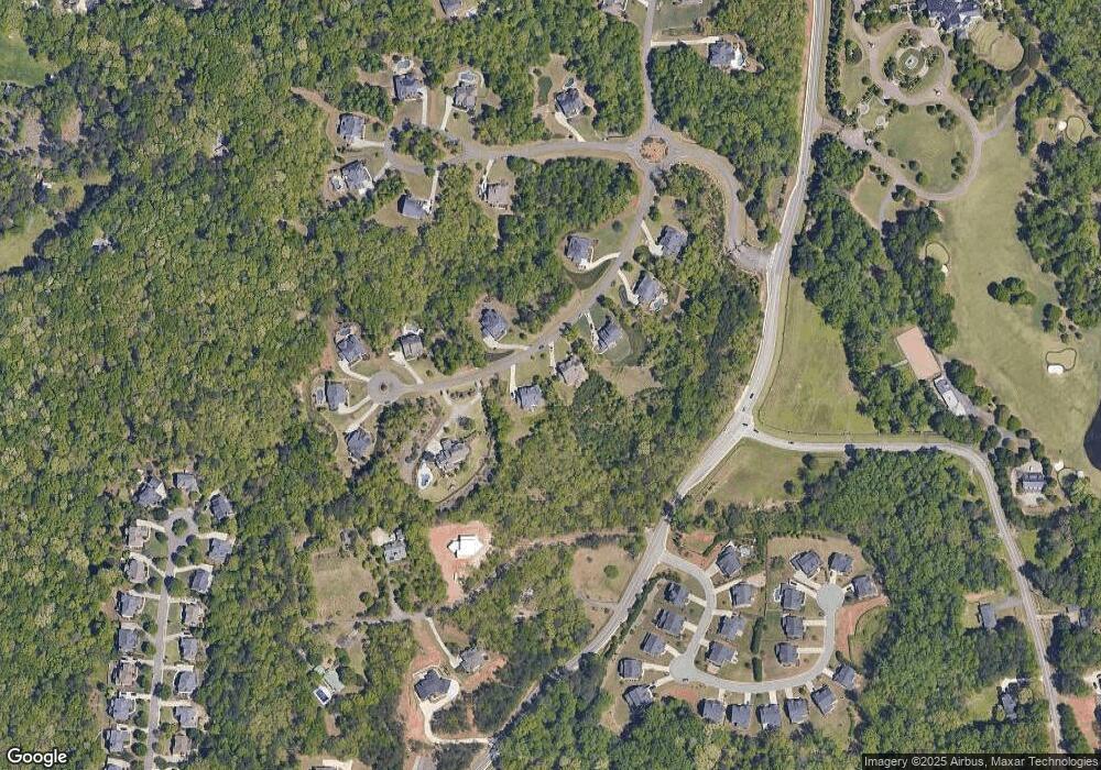
Map
Nearby Homes
- 2625 Blackstock Dr
- 2640 Blackstock Dr
- 2410 Overpass
- Manchester Plan at The Glade
- Belville Plan at The Glade
- Milton Plan at The Glade
- 2216 Trammel Rd
- 5613 Lancashire Ln
- Lot 8 Cambridge Hills Rd
- 2350 Gladstone Place
- 5050 Paravicini Place
- 2400 Gants Hill Place
- 2540 Marsha Cir
- 1458 Edenfield Pointe
- 1458 Edenfield Pte
- 5303 Davenport Manor
- 1920 Daves Creek Trail
- 2115 Vistoria Dr
- 5349 Davenport Manor
- 2410 Belle Patrice Dr
- 2470 Belle Patrice Dr
- 2520 Belle Patrice Dr
- 2525 Belle Patrice Dr
- 2415 Blackstock Dr
- 2425 Blackstock Dr
- 2505 Blackstock Dr
- 2335 Blackstock Dr
- 2315 Blackstock Dr
- 2270 Stirling Bridge Rd
- 2290 Stirling Bridge Rd
- 2245 Stirling Bridge Rd
- 2390 Elan Rd
- 2395 Elan Rd
- 2355 Elan Rd
- 2510 Lansing Ln
- 2515 Blackstock Dr
- 2330 Blackstock Dr
- 2310 Blackstock Dr
- 2320 Blackstock Dr