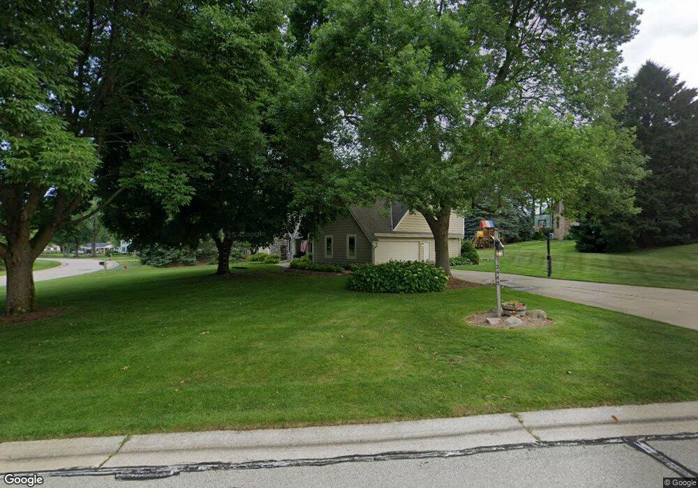
2465 Collins Ct Brookfield, WI 53045
Estimated Value: $717,283 - $833,000
4
Beds
4
Baths
1,586
Sq Ft
$488/Sq Ft
Est. Value
About This Home
This home is located at 2465 Collins Ct, Brookfield, WI 53045 and is currently estimated at $773,571, approximately $487 per square foot. 2465 Collins Ct is a home located in Waukesha County with nearby schools including Brookfield Elementary School, Wisconsin Hills Middle School, and Brookfield Central High School.
Ownership History
Date
Name
Owned For
Owner Type
Purchase Details
Closed on
May 6, 2020
Sold by
Pasternak Frank T and Pasternak Laura A
Bought by
Meckstroth Max S and Meckstroth Maura K
Current Estimated Value
Home Financials for this Owner
Home Financials are based on the most recent Mortgage that was taken out on this home.
Original Mortgage
$456,750
Outstanding Balance
$404,744
Interest Rate
3.3%
Mortgage Type
New Conventional
Estimated Equity
$368,827
Purchase Details
Closed on
Jul 19, 2004
Sold by
Lackey Douglas A and Lackey Jill B
Bought by
Pasternak Frank T and Pasternak Laura A
Home Financials for this Owner
Home Financials are based on the most recent Mortgage that was taken out on this home.
Original Mortgage
$333,700
Interest Rate
5.5%
Mortgage Type
Purchase Money Mortgage
Purchase Details
Closed on
Jun 18, 1999
Sold by
Lackey Douglas A and Lackey Jill B
Bought by
Lackey Douglas A and Lackey Jill B
Create a Home Valuation Report for This Property
The Home Valuation Report is an in-depth analysis detailing your home's value as well as a comparison with similar homes in the area
Home Values in the Area
Average Home Value in this Area
Purchase History
| Date | Buyer | Sale Price | Title Company |
|---|---|---|---|
| Meckstroth Max S | $570,000 | None Available | |
| Pasternak Frank T | $435,000 | -- | |
| Lackey Douglas A | -- | -- |
Source: Public Records
Mortgage History
| Date | Status | Borrower | Loan Amount |
|---|---|---|---|
| Open | Meckstroth Max S | $456,750 | |
| Previous Owner | Pasternak Frank T | $333,700 |
Source: Public Records
Tax History
| Year | Tax Paid | Tax Assessment Tax Assessment Total Assessment is a certain percentage of the fair market value that is determined by local assessors to be the total taxable value of land and additions on the property. | Land | Improvement |
|---|---|---|---|---|
| 2024 | $7,546 | $667,800 | $145,000 | $522,800 |
| 2023 | $7,559 | $667,800 | $145,000 | $522,800 |
| 2022 | $7,939 | $548,200 | $140,000 | $408,200 |
| 2021 | $8,415 | $548,200 | $140,000 | $408,200 |
| 2020 | $7,404 | $466,300 | $140,000 | $326,300 |
| 2019 | $7,118 | $466,300 | $140,000 | $326,300 |
| 2018 | $6,823 | $435,200 | $140,000 | $295,200 |
| 2017 | $7,787 | $435,200 | $140,000 | $295,200 |
| 2016 | $6,914 | $435,200 | $140,000 | $295,200 |
| 2015 | $6,872 | $435,200 | $140,000 | $295,200 |
| 2014 | $7,129 | $435,200 | $140,000 | $295,200 |
| 2013 | $7,129 | $435,200 | $140,000 | $295,200 |
Source: Public Records
Map
Nearby Homes
- 20305 Downing Ct
- 2550 Harmony Cir
- 2465 Lionel Ct
- Lt118 Berwick Ct
- Lt120 Berwick Ct
- Lt116 Berwick Ct
- Lt114 Berwick Ct
- 2570 Gaywood Ct
- 1930 Cotton Tail Ln
- 1825 Derrin Ln
- 1775 Derrin Ln
- 2000 Kathlynn Ct
- 19775 Trilby Ct
- 19260 Brookdale Dr
- N28W22131 Indianwood Ct
- 20300 Yorktown Ct
- W221N3075 Greenwood Ct
- 18860 N Hills Dr
- 18850 N Hills Dr
- W224N2507 Ridgewood Ln
- 20760 Tennyson Dr
- 2475 Collins Ct
- 20725 Tennyson Dr
- 2470 Shelly Ct
- 20680 Tennyson Dr
- 2485 Collins Ct
- 20695 Tennyson Dr
- 2480 Collins Ct
- 20775 Tennyson Dr
- 2490 Collins Ct
- 2490 Shelly Ct
- 2450 Shelly Ct
- 2380 Macaulay Dr
- 20655 Tennyson Dr
- 20800 Tennyson Dr
- 20650 Tennyson Dr
- 2430 Shelly Ct
- 2475 Chaucer Ct
- 20755 Bradford Ln
- 20715 Bradford Ct
Your Personal Tour Guide
Ask me questions while you tour the home.