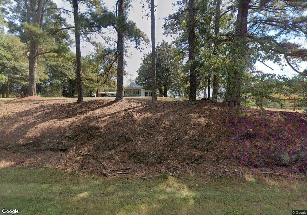
2465 E Highway 5 Carrollton, GA 30116
Estimated Value: $396,000 - $622,000
4
Beds
3
Baths
2,608
Sq Ft
$189/Sq Ft
Est. Value
About This Home
This home is located at 2465 E Highway 5, Carrollton, GA 30116 and is currently estimated at $494,037, approximately $189 per square foot. 2465 E Highway 5 is a home located in Carroll County with nearby schools including Roopville Elementary School, Central Middle School, and Central High School.
Ownership History
Date
Name
Owned For
Owner Type
Purchase Details
Closed on
Mar 25, 1996
Sold by
Cox Diane W
Bought by
Cox Diane W
Current Estimated Value
Purchase Details
Closed on
Jan 3, 1995
Sold by
Cox Casey and Cox Diane
Bought by
Cox Diane W
Purchase Details
Closed on
Jun 24, 1989
Bought by
Cox Casey and Cox Diane
Create a Home Valuation Report for This Property
The Home Valuation Report is an in-depth analysis detailing your home's value as well as a comparison with similar homes in the area
Home Values in the Area
Average Home Value in this Area
Purchase History
| Date | Buyer | Sale Price | Title Company |
|---|---|---|---|
| Cox Diane W | -- | -- | |
| Cox Diane W | -- | -- | |
| Cox Casey | -- | -- |
Source: Public Records
Tax History Compared to Growth
Tax History
| Year | Tax Paid | Tax Assessment Tax Assessment Total Assessment is a certain percentage of the fair market value that is determined by local assessors to be the total taxable value of land and additions on the property. | Land | Improvement |
|---|---|---|---|---|
| 2024 | $325 | $145,565 | $20,912 | $124,653 |
| 2023 | $325 | $130,563 | $16,730 | $113,833 |
| 2022 | $387 | $102,575 | $11,154 | $91,421 |
| 2021 | $1,915 | $86,985 | $8,923 | $78,062 |
| 2020 | $1,772 | $78,945 | $8,112 | $70,833 |
| 2019 | $1,682 | $73,302 | $8,112 | $65,190 |
| 2018 | $1,540 | $64,268 | $7,581 | $56,687 |
| 2017 | $1,545 | $64,268 | $7,581 | $56,687 |
| 2016 | $1,311 | $65,692 | $7,581 | $58,111 |
| 2015 | $1,502 | $57,692 | $5,520 | $52,172 |
| 2014 | $1,508 | $57,693 | $5,520 | $52,172 |
Source: Public Records
Map
Nearby Homes
- 1170 Lowell Rd
- 500 Coleman Mill Rd
- 00 Ringer Rd
- 2088 Star Point Rd
- 2018 Star Point Rd
- 1921 Star Point Rd
- 2237 Clem Lowell Rd
- 2100 Star Point Rd
- 2201 Star Point Rd
- 0 Lowell Rd Unit 10640679
- 0 Ringer Rd Unit 10595950
- 922 Shoemake Rd
- 0 Bonner Goldmine Rd Unit 145631
- 0 Bonner Goldmine Rd Unit 10433818
- 0 Louise Ln Unit 10563364
- 103 Red Oak Ln
- 9 Lowell Ln
- 2475 E Highway 5
- 71 Lowell Ln
- 0 Lowell Ln Unit 8166304
- 0 Lowell Ln
- 66 Slick Rock Rd
- 2358 E Highway 5
- 2358 Georgia 5
- 88 Slick Rock Rd
- 2331 E Highway 5
- 2324 E Highway 5
- 2380 E Highway 5
- 151 Lowell Ln
- 2452 E Highway 5
- 2259 Georgia 5
- 2259 E Highway 5
- 201 Lowell Ln
- 2261 E Highway 5
- 105 Liberty Church Rd
- 1725 Lowell Rd
