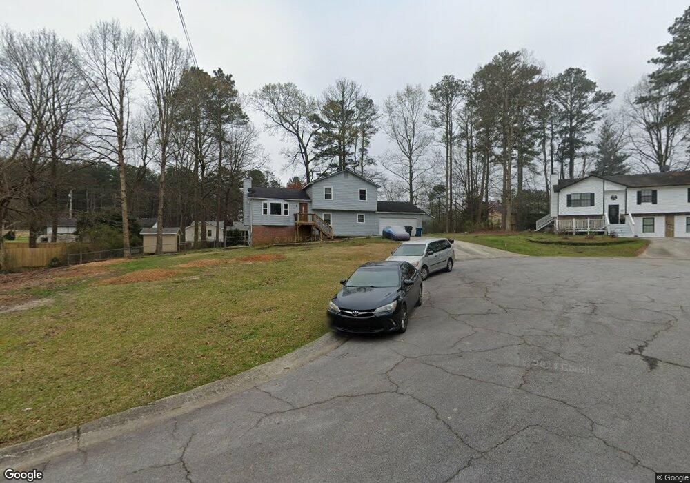
2465 Luke Ct Buford, GA 30519
Estimated Value: $368,000 - $384,000
4
Beds
3
Baths
1,728
Sq Ft
$219/Sq Ft
Est. Value
About This Home
This home is located at 2465 Luke Ct, Buford, GA 30519 and is currently estimated at $377,822, approximately $218 per square foot. 2465 Luke Ct is a home located in Gwinnett County with nearby schools including Freeman's Mill Elementary School, Twin Rivers Middle School, and Mountain View High School.
Ownership History
Date
Name
Owned For
Owner Type
Purchase Details
Closed on
Nov 4, 2008
Sold by
Derose Michael L
Bought by
Lasalle Bank Na Ramp 2007Rp3
Current Estimated Value
Purchase Details
Closed on
May 28, 1998
Sold by
Mclean Terry R and Mclean John W
Bought by
Derose Michael L
Home Financials for this Owner
Home Financials are based on the most recent Mortgage that was taken out on this home.
Original Mortgage
$101,700
Interest Rate
10.5%
Mortgage Type
New Conventional
Create a Home Valuation Report for This Property
The Home Valuation Report is an in-depth analysis detailing your home's value as well as a comparison with similar homes in the area
Home Values in the Area
Average Home Value in this Area
Purchase History
| Date | Buyer | Sale Price | Title Company |
|---|---|---|---|
| Lasalle Bank Na Ramp 2007Rp3 | $54,918 | -- | |
| Derose Michael L | $106,700 | -- |
Source: Public Records
Mortgage History
| Date | Status | Borrower | Loan Amount |
|---|---|---|---|
| Previous Owner | Derose Michael L | $101,700 |
Source: Public Records
Tax History Compared to Growth
Tax History
| Year | Tax Paid | Tax Assessment Tax Assessment Total Assessment is a certain percentage of the fair market value that is determined by local assessors to be the total taxable value of land and additions on the property. | Land | Improvement |
|---|---|---|---|---|
| 2025 | $3,667 | $143,720 | $20,280 | $123,440 |
| 2024 | -- | $122,880 | $28,000 | $94,880 |
| 2023 | $3,118 | $134,840 | $28,000 | $106,840 |
| 2022 | $3,132 | $114,160 | $20,000 | $94,160 |
| 2021 | $2,684 | $90,320 | $16,000 | $74,320 |
| 2020 | $2,466 | $79,320 | $16,000 | $63,320 |
| 2019 | $2,142 | $66,680 | $12,800 | $53,880 |
| 2018 | $2,140 | $66,680 | $12,800 | $53,880 |
| 2016 | $2,164 | $66,680 | $12,800 | $53,880 |
| 2015 | $1,903 | $53,840 | $10,000 | $43,840 |
| 2014 | -- | $45,560 | $8,000 | $37,560 |
Source: Public Records
Map
Nearby Homes
- 2045 Amber Creek Dr
- 2375 Matlin Way
- 2585 Braselton Hwy
- 2228 Lakeview Bend Way
- 2439 Canter Brook Ct Unit 1
- 2346 Hampton Park Dr Unit I
- 2431 Lance Ridge Way
- 0 Hog Mountain Church Road and Auburn Rd
- 2305 Braselton Hwy
- 2032 Shin Ct NE
- 2144 Beacon Crest Dr
- 2402 Bancroft Way
- 2256 Hansford Pass
- 2233 Hansford Pass
- 2253 Hansford Pass
- 1603 Fort Perry Way
- 2425 Fort Daniels Dr Unit 3A
- 1720 Fort Daniels Trail
- 2475 Luke Ct
- 0 Luke Ct Unit 7172147
- 0 Luke Ct Unit 7118903
- 0 Luke Ct Unit 8777358
- 0 Luke Ct
- 2455 Luke Ct
- 2464 Braselton Hwy
- 2454 Braselton Hwy
- 2474 Braselton Hwy
- 2466 Luke Ct Unit 2
- 2456 Luke Ct
- 2485 Luke Ct Unit 2
- 2486 Luke Ct Unit 2
- 2476 Luke Ct
- 2444 Braselton Hwy
- 2484 Braselton Hwy
- 2496 Luke Ct
- 2495 Luke Ct
- 2494 Braselton Hwy
- 2659 Amber Springs Way