Estimated Value: $651,000 - $762,000
Studio
--
Bath
2,097
Sq Ft
$331/Sq Ft
Est. Value
About This Home
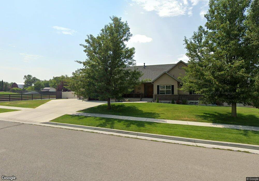
This home is located at 2465 N 870 E, Logan, UT 84341 and is currently estimated at $694,995, approximately $331 per square foot. 2465 N 870 E is a home with nearby schools including Greenville School, Cedar Ridge School, and North Cache Middle School.
Ownership History
Date
Name
Owned For
Owner Type
Purchase Details
Closed on
Dec 9, 2013
Sold by
Wade Stanley and Wade Anita
Bought by
Wade Stanley William and Wade Anita Howard
Current Estimated Value
Purchase Details
Closed on
Nov 19, 2009
Sold by
Clavel Haslam Family Llc
Bought by
C L Jacobs Llc
Purchase Details
Closed on
Nov 15, 2009
Sold by
Clavel Haslam Family Llc
Bought by
Wade Stan and Wade Anita
Create a Home Valuation Report for This Property
The Home Valuation Report is an in-depth analysis detailing your home's value as well as a comparison with similar homes in the area
Home Values in the Area
Average Home Value in this Area
Purchase History
| Date | Buyer | Sale Price | Title Company |
|---|---|---|---|
| Wade Stanley William | -- | None Available | |
| C L Jacobs Llc | -- | Hickman Land Title Company | |
| Wade Stan | -- | Hickman Land Title Company |
Source: Public Records
Tax History
| Year | Tax Paid | Tax Assessment Tax Assessment Total Assessment is a certain percentage of the fair market value that is determined by local assessors to be the total taxable value of land and additions on the property. | Land | Improvement |
|---|---|---|---|---|
| 2025 | $2,921 | $408,895 | $0 | $0 |
| 2024 | $3,243 | $422,485 | $0 | $0 |
| 2023 | $3,124 | $380,820 | $0 | $0 |
| 2022 | $3,270 | $380,820 | $0 | $0 |
| 2021 | $2,750 | $496,510 | $82,000 | $414,510 |
| 2020 | $2,613 | $442,444 | $82,000 | $360,444 |
| 2019 | $2,736 | $442,444 | $82,000 | $360,444 |
| 2018 | $2,448 | $383,825 | $62,000 | $321,825 |
| 2017 | $2,456 | $202,675 | $0 | $0 |
| 2016 | $2,494 | $175,230 | $0 | $0 |
| 2015 | $2,164 | $175,230 | $0 | $0 |
| 2014 | $2,113 | $175,230 | $0 | $0 |
| 2013 | -- | $175,030 | $0 | $0 |
Source: Public Records
Map
Nearby Homes
- 2469 N 620 E Unit 3
- 2477 N 620 E Unit 4
- 2284 N 740 E
- 741 E 2200 N
- 1185 E 2500 N
- 2168 N 750 E
- 1872 N 515 W
- 1593 N 110 W Unit 201
- 611 E 2450 N Unit 1
- 1593 N 110 W Unit 202
- 1593 N 110 W Unit 204
- 1200 W 1400 N
- 2950 N Mahogony Valley Rd E Unit 7
- 1598 N Sharptail Cir
- 1000 W 2500 N
- 710 E 2160 N
- 2640 N Aspen Park Ln
- 623 E 2475 N Unit 5
- 645 E 2475 N
- 667 E 2475 N
Your Personal Tour Guide
Ask me questions while you tour the home.