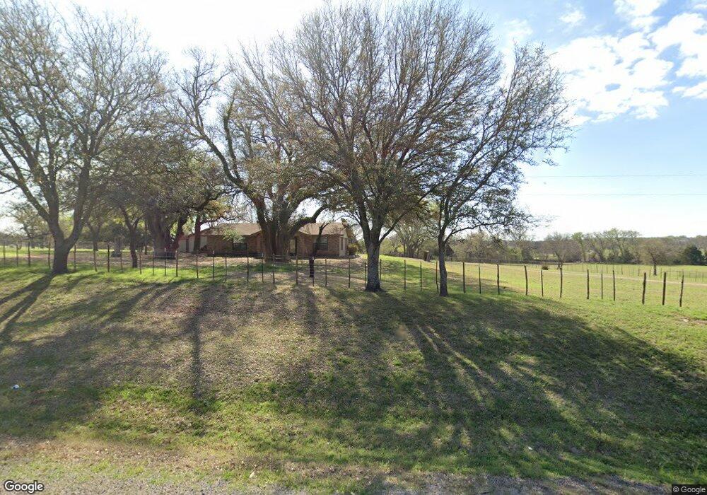
2465 N Fm 51 Decatur, TX 76234
Estimated Value: $301,129 - $909,000
--
Bed
2
Baths
1,400
Sq Ft
$344/Sq Ft
Est. Value
About This Home
This home is located at 2465 N Fm 51, Decatur, TX 76234 and is currently estimated at $481,282, approximately $343 per square foot. 2465 N Fm 51 is a home located in Wise County with nearby schools including Decatur High School and Victory Christian Academy.
Ownership History
Date
Name
Owned For
Owner Type
Purchase Details
Closed on
Aug 22, 2018
Sold by
Campbell Betty and Campbell Kenneth
Bought by
Mski Management Llc
Current Estimated Value
Home Financials for this Owner
Home Financials are based on the most recent Mortgage that was taken out on this home.
Original Mortgage
$132,000
Outstanding Balance
$97,560
Interest Rate
4.5%
Mortgage Type
Purchase Money Mortgage
Estimated Equity
$383,722
Purchase Details
Closed on
Apr 10, 2015
Sold by
Henry Allene
Bought by
Campbell Betty
Purchase Details
Closed on
Oct 17, 2011
Sold by
Henry Benjamin and Henry Allene
Bought by
Campbell Betty
Purchase Details
Closed on
Jan 1, 1901
Bought by
Campbell Betty
Create a Home Valuation Report for This Property
The Home Valuation Report is an in-depth analysis detailing your home's value as well as a comparison with similar homes in the area
Home Values in the Area
Average Home Value in this Area
Purchase History
| Date | Buyer | Sale Price | Title Company |
|---|---|---|---|
| Mski Management Llc | -- | Wise County Title Company | |
| Campbell Betty | -- | -- | |
| Campbell Betty | -- | -- | |
| Campbell Betty | -- | -- |
Source: Public Records
Mortgage History
| Date | Status | Borrower | Loan Amount |
|---|---|---|---|
| Open | Mski Management Llc | $132,000 |
Source: Public Records
Tax History Compared to Growth
Tax History
| Year | Tax Paid | Tax Assessment Tax Assessment Total Assessment is a certain percentage of the fair market value that is determined by local assessors to be the total taxable value of land and additions on the property. | Land | Improvement |
|---|---|---|---|---|
| 2025 | $3,357 | $296,256 | $106,350 | $189,906 |
| 2024 | $3,357 | $275,643 | $83,555 | $192,088 |
| 2023 | $3,228 | $267,158 | $79,436 | $187,722 |
| 2022 | $3,578 | $233,144 | $69,989 | $163,155 |
| 2021 | $3,161 | $197,160 | $60,840 | $136,320 |
| 2020 | $2,906 | $180,140 | $57,290 | $122,850 |
| 2019 | $3,018 | $175,620 | $57,290 | $118,330 |
| 2018 | $373 | $168,050 | $53,750 | $114,300 |
| 2017 | $320 | $18,000 | $4,830 | $13,170 |
| 2016 | $292 | $16,530 | $4,130 | $12,400 |
| 2015 | -- | $15,330 | $3,690 | $11,640 |
| 2014 | -- | $55,950 | $9,220 | $46,730 |
Source: Public Records
Map
Nearby Homes
- 853 County Road 2215
- Lot 12 Cedar Springs Estates
- 124 Blackstar Ln
- 116 Blackstar Ln
- 132 Blackstar Ln
- 159 Blackstar Ln
- 362 Decatur Cemetery Rd
- 130 Nicholas Way
- 114 Cemetery Rd
- 3092 N Trinity St
- TBD E Hwy 380 Hwy
- 4002 E Highway 380
- 2811 N Trinity St
- 0 Highway 287 Unit 21102120
- 0 Highway 287 Unit 21094377
- 175 Quail Ridge Ct
- 165 Quail Ridge Ct
- 307 E Vernon St
- 1952 Old Decatur Rd
- 114 Sondra Lin Blvd
- 2430 N Fm 51
- 2460 N Fm 51
- 2460 N Fm 51
- 2488 N Fm 51
- 167 Private Road 2232
- 120 Charlies Rd
- 132 Charlies Rd
- 132 Charlies Rd
- Lot 5 County Road 2229
- Lot 1 County Road 2229
- Lot 3 County Road 2229
- Lot 4 County Road 2229
- Lot 2 County Road 2229
- Lot 6 County Road 2229
- 25 ac County Road 2229
- 10 ac County Road 2229
- 343 County Road 2228
- 343 County Road 2228
- 316 County Road 2228
- 243 Michaels Rd