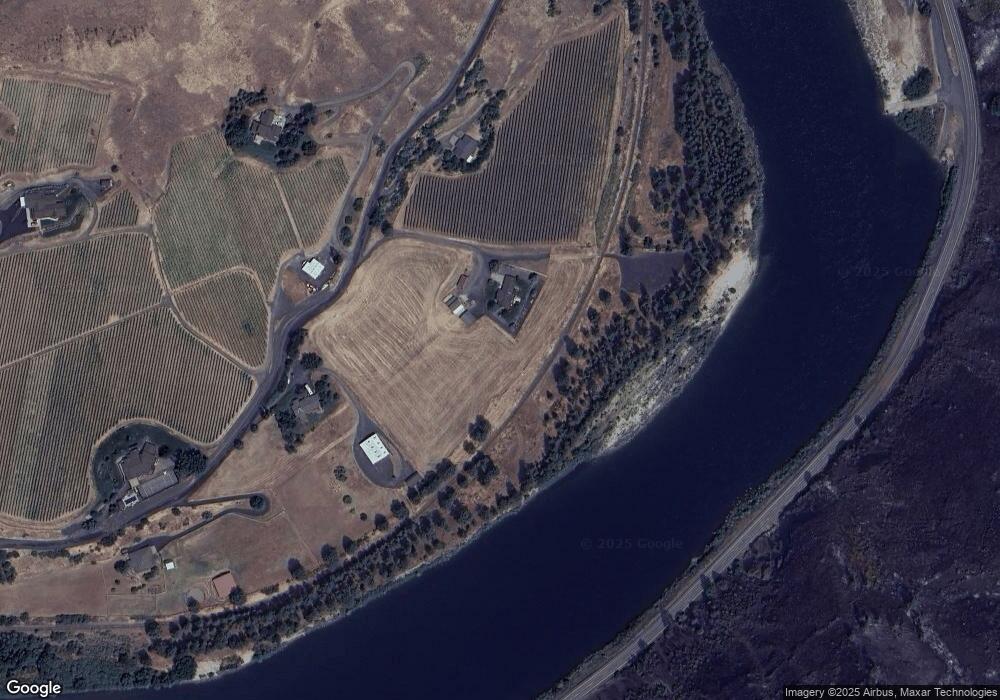
24654 Arrow Highline Rd Juliaetta, ID 83535
Estimated Value: $733,150 - $821,000
3
Beds
3
Baths
2,976
Sq Ft
$261/Sq Ft
Est. Value
About This Home
This home is located at 24654 Arrow Highline Rd, Juliaetta, ID 83535 and is currently estimated at $777,075, approximately $261 per square foot. 24654 Arrow Highline Rd is a home located in Nez Perce County with nearby schools including Lapwai Elementary School and Lapwai Middle/High School.
Ownership History
Date
Name
Owned For
Owner Type
Purchase Details
Closed on
Jun 8, 2023
Sold by
Hewett Ronald A and Hewett Georgieann
Bought by
Rivaura Vineyards Property Llc
Current Estimated Value
Purchase Details
Closed on
Jul 9, 2020
Sold by
Breeding Sheridee Ann
Bought by
Hewett Ronald A and Hewett Georgieann
Home Financials for this Owner
Home Financials are based on the most recent Mortgage that was taken out on this home.
Original Mortgage
$525,000
Interest Rate
3.1%
Mortgage Type
Seller Take Back
Create a Home Valuation Report for This Property
The Home Valuation Report is an in-depth analysis detailing your home's value as well as a comparison with similar homes in the area
Home Values in the Area
Average Home Value in this Area
Purchase History
| Date | Buyer | Sale Price | Title Company |
|---|---|---|---|
| Rivaura Vineyards Property Llc | -- | None Listed On Document | |
| Hewett Ronald A | -- | Land Ttl Of Nez Perce Count |
Source: Public Records
Mortgage History
| Date | Status | Borrower | Loan Amount |
|---|---|---|---|
| Previous Owner | Hewett Ronald A | $525,000 |
Source: Public Records
Tax History Compared to Growth
Tax History
| Year | Tax Paid | Tax Assessment Tax Assessment Total Assessment is a certain percentage of the fair market value that is determined by local assessors to be the total taxable value of land and additions on the property. | Land | Improvement |
|---|---|---|---|---|
| 2025 | $2,908 | $115,007 | $81,336 | $33,671 |
| 2024 | $29 | $555,074 | $223,379 | $331,695 |
| 2023 | $2,755 | $521,164 | $212,742 | $308,422 |
| 2022 | $3,359 | $526,917 | $236,115 | $290,802 |
| 2021 | $3,546 | $467,792 | $235,877 | $231,915 |
| 2020 | $534 | $298,736 | $66,821 | $231,915 |
| 2019 | $1,833 | $298,726 | $66,811 | $231,915 |
| 2018 | $538 | $294,621 | $66,871 | $227,750 |
| 2017 | $1,803 | $0 | $0 | $0 |
| 2016 | $560 | $0 | $0 | $0 |
| 2015 | $551 | $0 | $0 | $0 |
| 2014 | $1,623 | $414,953 | $204,061 | $210,892 |
Source: Public Records
Map
Nearby Homes
- 24500 Arrow Highline Rd
- TBD Clearwater Dr
- NKA Clearwater Ridge Dr
- NKA Clearwater Ridge Dr
- 0 Nka Clearwater Ridge Dr
- 22236 Gunsmoke Canyon
- TBD Highway 12
- 17550 Stoney Point
- 29634 Wild Plum Ln
- 188 Coyote Dr
- 164 State St
- TBD Old Culdesac Rd
- 207 State St
- 18699 Family Ln
- 13790 Cross Farm Rd
- 1647 State Highway 3
- TBD Kettenbach Grade
- 7774 Paddock Ln
- 2111 Vinifera Blvd
- 331 E Walnut St Unit D
- 24552 Arrow Highline Rd
- 24550 Arrow Highline Rd
- 24661 Arrow Highline Rd
- 24513 Arrow Highline Rd
- 21509 Rivaura Ln
- 21316 Syringa Ln
- 21605 Arrow Rim Ln
- TBD Clearwater Ridge
- 21260 Syringa Ln
- 21440 Rivaura Ln
- 24982 Arrow Highline Rd
- 21349 Arrow Rim Ln
- 21622 Rivaura Ln
- 21328 Arrow Rim Ln
- TBD2 Clearwater Ridge Dr
- 21958 Clearwater Ridge Dr
- 25233 Arrow Highline Rd
- 21923 Clearwater Ridge Dr
- Lot 19 Clearwater Ridge
- 19 Clearwater Ridge
