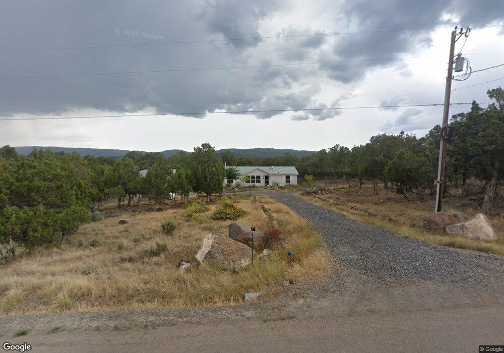
24657 Timothy Rd Cedaredge, CO 81413
Estimated Value: $459,000 - $545,000
3
Beds
2
Baths
1,919
Sq Ft
$260/Sq Ft
Est. Value
About This Home
This home is located at 24657 Timothy Rd, Cedaredge, CO 81413 and is currently estimated at $497,990, approximately $259 per square foot. 24657 Timothy Rd is a home located in Delta County with nearby schools including Cedaredge Elementary School, Cedaredge Middle School, and Cedaredge High School.
Ownership History
Date
Name
Owned For
Owner Type
Purchase Details
Closed on
Nov 14, 2018
Sold by
Abila Kim Susanne
Bought by
Ainsworth Kim Susanne
Current Estimated Value
Purchase Details
Closed on
Jan 10, 2007
Sold by
Abila Kim Susanne and Abila Eugene R
Bought by
Abila Kim Susanne
Purchase Details
Closed on
Aug 18, 2005
Sold by
Abila Eugene Roy and Ainsworth Kim
Bought by
Abila Eugene Roy and Abila Kim
Purchase Details
Closed on
Jan 21, 2003
Sold by
Haugh William Albert 1979 Trust
Bought by
Abila Eugene Roy
Purchase Details
Closed on
Jul 15, 1992
Sold by
Brown
Bought by
Haugh Trust
Create a Home Valuation Report for This Property
The Home Valuation Report is an in-depth analysis detailing your home's value as well as a comparison with similar homes in the area
Purchase History
| Date | Buyer | Sale Price | Title Company |
|---|---|---|---|
| Ainsworth Kim Susanne | -- | None Available | |
| Abila Kim Susanne | -- | None Available | |
| Abila Eugene Roy | -- | None Available | |
| Abila Eugene Roy | -- | None Available | |
| Abila Eugene Roy | $63,000 | -- | |
| Haugh Trust | $11,500 | -- |
Source: Public Records
Tax History
| Year | Tax Paid | Tax Assessment Tax Assessment Total Assessment is a certain percentage of the fair market value that is determined by local assessors to be the total taxable value of land and additions on the property. | Land | Improvement |
|---|---|---|---|---|
| 2024 | $1,033 | $23,413 | $6,078 | $17,335 |
| 2023 | $1,033 | $23,413 | $6,078 | $17,335 |
| 2022 | $733 | $19,153 | $4,240 | $14,913 |
| 2021 | $735 | $19,704 | $4,362 | $15,342 |
| 2020 | $381 | $12,794 | $3,933 | $8,861 |
| 2019 | $382 | $12,794 | $3,933 | $8,861 |
| 2018 | $534 | $8,618 | $3,600 | $5,018 |
| 2017 | $534 | $8,618 | $3,600 | $5,018 |
| 2016 | $592 | $10,488 | $5,333 | $5,155 |
| 2014 | -- | $10,650 | $5,731 | $4,919 |
Source: Public Records
Map
Nearby Homes
- 24593 Timothy Rd
- 24119 Ute Trail Rd
- Unit 13 W Elk Dr
- TBD SE 3rd Lot 5 Will-O-way Subdivision St
- 18200 Surface Creek Rd
- 18865 Northridge Rd
- 2115 2500 Rd
- 17969 Surface Creek Rd
- 18377 Highway 65
- 23045 T Rd
- 20709 Highway 65
- 794 NE Indian Camp Ave
- 22876 Thunder Mountain Ln
- 17656 2550 Rd
- 377 NE Indian Camp Ave
- 20856 2300 Rd
- 17826 & 17830 Hanson Rd
- 17343 Surface Creek Rd
- 635 NE 2nd St
- 25615 Starner Loop Rd
- 24689 Timothy Rd
- 24652 Timothy Rd
- 24589 Timothy Rd
- Lot 3 Timothy Rd
- TBD Timothy Rd
- 0 Timothy Rd
- 24630 Timothy Rd
- 24565 Timothy Rd
- 24704 Timothy Rd
- 24512 Timothy Rd
- 19534 Surface Creek Rd
- 19516 Surface Creek Rd
- 24531 Timothy Rd
- 19654 Surface Creek Rd
- 19676 Surface Creek Rd
- 24746 Timothy Rd
- 19546 Surface Creek Rd
- 19628 Surface Creek Rd
- 24810 Timothy Rd
- 19718 Surface Creek Rd
Your Personal Tour Guide
Ask me questions while you tour the home.