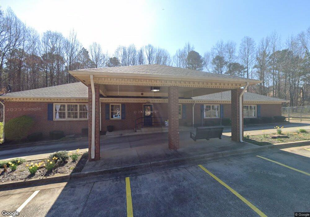
2466 Buford Hwy Duluth, GA 30097
Estimated Value: $1,248,829
--
Bed
--
Bath
4,500
Sq Ft
$278/Sq Ft
Est. Value
About This Home
This home is located at 2466 Buford Hwy, Duluth, GA 30097 and is currently estimated at $1,248,829, approximately $277 per square foot. 2466 Buford Hwy is a home located in Gwinnett County with nearby schools including M. H. Mason Elementary School, Hull Middle School, and Peachtree Ridge High School.
Ownership History
Date
Name
Owned For
Owner Type
Purchase Details
Closed on
Aug 28, 2024
Sold by
Buford Partners Llc
Bought by
Hspr Properties Llc
Current Estimated Value
Home Financials for this Owner
Home Financials are based on the most recent Mortgage that was taken out on this home.
Original Mortgage
$600,000
Interest Rate
6.73%
Mortgage Type
New Conventional
Purchase Details
Closed on
Sep 8, 2008
Sold by
Brigman Sylvia L
Bought by
Buford Partners Llc
Home Financials for this Owner
Home Financials are based on the most recent Mortgage that was taken out on this home.
Original Mortgage
$412,500
Interest Rate
6.48%
Mortgage Type
Commercial
Create a Home Valuation Report for This Property
The Home Valuation Report is an in-depth analysis detailing your home's value as well as a comparison with similar homes in the area
Home Values in the Area
Average Home Value in this Area
Purchase History
| Date | Buyer | Sale Price | Title Company |
|---|---|---|---|
| Hspr Properties Llc | $1,200,000 | -- | |
| Buford Partners Llc | $535,000 | -- |
Source: Public Records
Mortgage History
| Date | Status | Borrower | Loan Amount |
|---|---|---|---|
| Closed | Hspr Properties Llc | $600,000 | |
| Previous Owner | Buford Partners Llc | $412,500 |
Source: Public Records
Tax History Compared to Growth
Tax History
| Year | Tax Paid | Tax Assessment Tax Assessment Total Assessment is a certain percentage of the fair market value that is determined by local assessors to be the total taxable value of land and additions on the property. | Land | Improvement |
|---|---|---|---|---|
| 2024 | $12,125 | $505,960 | $169,200 | $336,760 |
| 2023 | $12,125 | $328,520 | $105,600 | $222,920 |
| 2022 | $8,703 | $230,960 | $165,200 | $65,760 |
| 2021 | $8,865 | $230,960 | $165,200 | $65,760 |
| 2020 | $8,922 | $230,960 | $165,200 | $65,760 |
| 2019 | $6,123 | $160,000 | $128,600 | $31,400 |
| 2018 | $6,147 | $160,000 | $128,600 | $31,400 |
| 2016 | $6,140 | $160,000 | $128,600 | $31,400 |
| 2015 | $6,213 | $160,000 | $128,600 | $31,400 |
| 2014 | $6,248 | $160,000 | $128,600 | $31,400 |
Source: Public Records
Map
Nearby Homes
- 2571 Royston Dr
- 2397 Harpers Way
- 3546 Flycatcher Way
- 3955 Longlake Dr
- 3334 Swallowtail Terrace
- 2135 Chattahoochee Dr
- 2412 Harpers Way
- 2301 Castlemaine Dr
- 3311 Dogwood Ln Unit I
- 2281 Bransley Place
- 1980 Chattahoochee Dr
- 00 Chattahoochee Dr NW
- 2629 Kensington Dr
- 2116 Highway 23
- 3264 Lockett Trace
- 4180 Cavalier Way
- 2107 Hailston Dr
- 3590 North St
- 4220 Cavalier Way
- 2541 Royston Dr
- 2531 Royston Dr
- 2551 Royston Dr
- 0 Royston Dr Unit 7283534
- 0 Royston Dr Unit 7090195
- 0 Royston Dr Unit 3241070
- 0 Royston Dr Unit 3238747
- 0 Royston Dr Unit 8550005
- 0 Royston Dr Unit 8504867
- 0 Royston Dr Unit 8479310
- 0 Royston Dr Unit 8431673
- 0 Royston Dr Unit 8121950
- 0 Royston Dr Unit 8081008
- 0 Royston Dr Unit 8036469
- 0 Royston Dr Unit 8013197
- 0 Royston Dr Unit 7630295
- 0 Royston Dr Unit 7607521
- 0 Royston Dr Unit 7531502
- 0 Royston Dr Unit 8838180
- 0 Royston Dr Unit 8415110