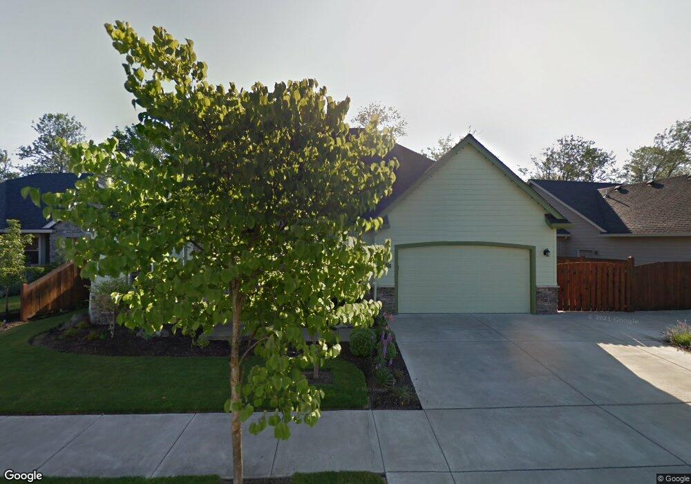
2467 Borders Dr Eugene, OR 97404
Santa Clara NeighborhoodEstimated Value: $506,000 - $602,000
3
Beds
3
Baths
1,573
Sq Ft
$352/Sq Ft
Est. Value
About This Home
This home is located at 2467 Borders Dr, Eugene, OR 97404 and is currently estimated at $553,622, approximately $351 per square foot. 2467 Borders Dr is a home located in Lane County with nearby schools including Irving Elementary School, Shasta Middle School, and Willamette High School.
Ownership History
Date
Name
Owned For
Owner Type
Purchase Details
Closed on
Feb 9, 2010
Sold by
Cink Sandra A
Bought by
Spearin Willard E and Spearin Judith J
Current Estimated Value
Purchase Details
Closed on
Jan 25, 2006
Sold by
Heitman Custom Homes Llc
Bought by
Cink Edward L and Cink Sandra A
Home Financials for this Owner
Home Financials are based on the most recent Mortgage that was taken out on this home.
Original Mortgage
$224,000
Interest Rate
6.28%
Mortgage Type
Fannie Mae Freddie Mac
Create a Home Valuation Report for This Property
The Home Valuation Report is an in-depth analysis detailing your home's value as well as a comparison with similar homes in the area
Home Values in the Area
Average Home Value in this Area
Purchase History
| Date | Buyer | Sale Price | Title Company |
|---|---|---|---|
| Spearin Willard E | $285,000 | Western Title & Escrow | |
| Cink Edward L | $280,000 | Pacific Northwest Title Of L |
Source: Public Records
Mortgage History
| Date | Status | Borrower | Loan Amount |
|---|---|---|---|
| Previous Owner | Cink Edward L | $224,000 |
Source: Public Records
Tax History
| Year | Tax Paid | Tax Assessment Tax Assessment Total Assessment is a certain percentage of the fair market value that is determined by local assessors to be the total taxable value of land and additions on the property. | Land | Improvement |
|---|---|---|---|---|
| 2025 | $4,763 | $300,149 | -- | -- |
| 2024 | $4,643 | $291,407 | -- | -- |
| 2023 | $4,643 | $282,920 | $0 | $0 |
| 2022 | $4,322 | $274,680 | $0 | $0 |
| 2021 | $3,913 | $248,387 | $0 | $0 |
| 2020 | $3,799 | $241,153 | $0 | $0 |
| 2019 | $3,612 | $234,130 | $0 | $0 |
| 2018 | $3,511 | $220,690 | $0 | $0 |
| 2017 | $3,356 | $220,690 | $0 | $0 |
| 2016 | $3,610 | $214,262 | $0 | $0 |
| 2015 | $3,539 | $208,021 | $0 | $0 |
| 2014 | $3,485 | $201,962 | $0 | $0 |
Source: Public Records
Map
Nearby Homes
- 2488 Northampton
- 2580 Crowther Dr
- 2610 Crowther Dr
- 2418 Kalmia St
- 2931 Shelby Way
- 2965 Teal Place
- 2987 Dry Creek Rd
- 805 Impala Ave
- 1265 Napa Creek Dr
- 1256 Frogs Leap Ln
- 2563 York St
- 1307 Bramblewood Ln
- 2721 La Darrah St
- 541 Durham Ave
- 3365 Goose Cross Ln
- 4114 Jessen Dr
- 349 Irving Rd
- 0 Pacific Hwy W
- 3470 Cabernet Ln
- 303 Lenore Loop
- 2489 Borders Dr
- 2464 Borders Dr
- 2447 Borders Dr
- 2452 Borders Dr
- 2476 Borders Dr
- 2497 Borders Dr
- 2444 Borders Dr
- 2498 Lansdown Rd
- 2457 Crowther Dr
- 2465 Crowther Dr
- 2484 Borders Dr
- 2439 Borders Dr
- 2484 Lansdown Rd Unit 14
- 2473 Crowther Dr
- 2441 Crowther Dr
- 2510 Lansdown Rd
- 1102 Wooden Way
- 2505 Borders Dr
- 2432 Borders Dr
- 2470 Lansdown Rd
Your Personal Tour Guide
Ask me questions while you tour the home.