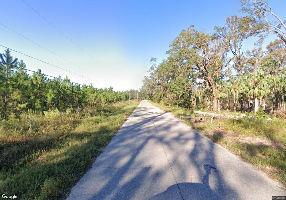
Estimated Value: $188,000 - $432,000
3
Beds
2
Baths
2,438
Sq Ft
$125/Sq Ft
Est. Value
About This Home
This home is located at 2467 C W McClellan Rd, Perry, FL 32347 and is currently estimated at $304,814, approximately $125 per square foot. 2467 C W McClellan Rd is a home located in Taylor County with nearby schools including Steinhatchee School, Perry Primary School, and Taylor County Elementary School.
Ownership History
Date
Name
Owned For
Owner Type
Purchase Details
Closed on
Dec 13, 2010
Sold by
Carr Roy C and Carr Jane B
Bought by
Sheffield Royce W and Sheffield Ethel C
Current Estimated Value
Home Financials for this Owner
Home Financials are based on the most recent Mortgage that was taken out on this home.
Original Mortgage
$75,000
Interest Rate
4.31%
Mortgage Type
New Conventional
Purchase Details
Closed on
Jul 27, 2001
Sold by
Strickland Glenn T and Strickland Linda M
Bought by
Capital City Bank
Create a Home Valuation Report for This Property
The Home Valuation Report is an in-depth analysis detailing your home's value as well as a comparison with similar homes in the area
Home Values in the Area
Average Home Value in this Area
Purchase History
| Date | Buyer | Sale Price | Title Company |
|---|---|---|---|
| Sheffield Royce W | $150,000 | Attorney | |
| Capital City Bank | $75,382 | -- |
Source: Public Records
Mortgage History
| Date | Status | Borrower | Loan Amount |
|---|---|---|---|
| Closed | Sheffield Royce W | $75,000 |
Source: Public Records
Tax History Compared to Growth
Tax History
| Year | Tax Paid | Tax Assessment Tax Assessment Total Assessment is a certain percentage of the fair market value that is determined by local assessors to be the total taxable value of land and additions on the property. | Land | Improvement |
|---|---|---|---|---|
| 2025 | $178 | $131,460 | -- | -- |
| 2024 | $178 | $127,760 | -- | -- |
| 2022 | $178 | $120,430 | $0 | $0 |
| 2021 | $140 | $116,930 | $0 | $0 |
| 2020 | $140 | $115,320 | $23,740 | $91,580 |
| 2019 | $140 | $117,630 | $23,740 | $93,890 |
| 2018 | $1,270 | $117,270 | $23,740 | $93,530 |
| 2017 | $1,306 | $114,410 | $23,740 | $90,670 |
| 2016 | $1,316 | $116,470 | $23,740 | $92,730 |
| 2015 | $1,070 | $110,170 | $17,440 | $92,730 |
| 2014 | -- | $116,859 | $0 | $0 |
Source: Public Records
Map
Nearby Homes
- 1618 Golf Course Rd
- 1764 Dice Rd
- 1341 Us Highway 98 W
- 205 Susan St
- 00 Woods Creek Rd
- 1407 W Main St
- 109 El Dorado Dr
- 2709 Page Rd
- 1149 Glenway Dr
- 189 Paul Poppell Rd
- 1118 W Green St
- 1100 W Ash St
- 914 W Malloy Ave
- 0 US Highway 98 Unit 10649270
- 708 W Julia St
- 0 U S Highway 19 Unit 390248
- 0 U S Highway 19 Unit 795534
- 1184 Paul Poppell Rd
- 0 S Hwy 19
- Vacant Forest Cir
- 2467 Mcclellan Rd
- 2509 C W McClellan Rd
- 561 Pittman Carter Rd
- 589 Pittman Carter Rd
- 2420 C W McClellan Rd
- 600 S McKinley Maddox Rd
- S W McKinley Maddox Rd
- S W McKinley Maddox Rd
- 504 Pittman Carter Rd
- 480 Pittman Carter Rd Unit 1
- 480 Pittman Carter Rd
- 509 Millinor Rd
- 0 Pittman Carter Unit 206508
- 454 S McKinley Maddox Rd
- 1170 S McKinley Maddox Rd
- 420 Pittman Carter Rd
- 2211 C W McClellan Rd
- 2190 C W McClellan Rd
- 444 S McKinley Maddox Rd
- 1032 S McKinley Maddox Rd
