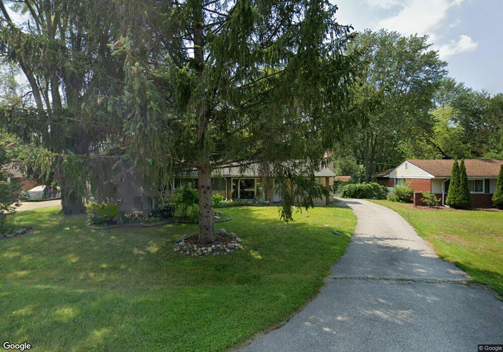
2467 Ivanhoe Dr West Bloomfield, MI 48324
Estimated Value: $251,000 - $283,000
3
Beds
2
Baths
1,501
Sq Ft
$178/Sq Ft
Est. Value
About This Home
This home is located at 2467 Ivanhoe Dr, West Bloomfield, MI 48324 and is currently estimated at $267,688, approximately $178 per square foot. 2467 Ivanhoe Dr is a home located in Oakland County with nearby schools including Walt Whitman Elementary School, Pontiac Middle School, and Pontiac High School.
Ownership History
Date
Name
Owned For
Owner Type
Purchase Details
Closed on
Nov 2, 2006
Sold by
Jssg Realty Llc
Bought by
Woolbright Clifford
Current Estimated Value
Home Financials for this Owner
Home Financials are based on the most recent Mortgage that was taken out on this home.
Original Mortgage
$33,250
Interest Rate
6.41%
Mortgage Type
Unknown
Purchase Details
Closed on
Dec 5, 2005
Sold by
Roddy Joanne T and Holliday Mary E
Bought by
Jssg Realty Llc
Purchase Details
Closed on
Aug 26, 2004
Sold by
Roddy Helen H
Bought by
Roddy Joanne T and Holliday Mary E
Create a Home Valuation Report for This Property
The Home Valuation Report is an in-depth analysis detailing your home's value as well as a comparison with similar homes in the area
Home Values in the Area
Average Home Value in this Area
Purchase History
| Date | Buyer | Sale Price | Title Company |
|---|---|---|---|
| Woolbright Clifford | $133,000 | Alpha Title Agency Inc | |
| Jssg Realty Llc | $115,000 | Clinton Valley Title Company | |
| Roddy Joanne T | $160,000 | -- | |
| Roddy Helen H | -- | -- |
Source: Public Records
Mortgage History
| Date | Status | Borrower | Loan Amount |
|---|---|---|---|
| Closed | Woolbright Clifford | $33,250 | |
| Previous Owner | Woolbright Clifford | $99,750 |
Source: Public Records
Tax History
| Year | Tax Paid | Tax Assessment Tax Assessment Total Assessment is a certain percentage of the fair market value that is determined by local assessors to be the total taxable value of land and additions on the property. | Land | Improvement |
|---|---|---|---|---|
| 2025 | $1,818 | $116,540 | $41,610 | $74,930 |
| 2024 | $1,002 | $111,330 | $0 | $0 |
| 2022 | $956 | $93,100 | $24,700 | $68,400 |
| 2021 | $1,571 | $83,260 | $0 | $0 |
| 2020 | $880 | $76,070 | $24,700 | $51,370 |
| 2018 | $1,503 | $65,240 | $17,900 | $47,340 |
| 2015 | -- | $52,030 | $0 | $0 |
| 2014 | -- | $48,190 | $0 | $0 |
| 2011 | -- | $55,240 | $0 | $0 |
Source: Public Records
Map
Nearby Homes
- 2624 Penna Dr
- 2630 Depew Dr
- 2313 Saint Joseph St
- 2483 Walce Dr
- 2230 Middlebelt Rd
- 2216 Middlebelt Rd
- 2084 Woodrow Wilson Blvd Unit A6
- 2665 Middlebelt Rd
- 2411 Pine Lake Ave
- 1938 Beverly St
- 2952 Prynne St
- 1955 Maddy Ln
- 2372 Pine Lake Rd
- 1775 Woodland Ave
- 2428 Willow Beach St
- 2488 Willow Beach St
- 2954 Long Ridge Ct
- 2132 Brock St
- 3170 Orchard Lake Rd Unit 23
- 3170 Orchard Lake Rd Unit 1
- 2479 Ivanhoe Dr
- 2455 Ivanhoe Dr
- 2510 Depew Dr
- 2491 Ivanhoe Dr
- 2522 Depew Dr
- 2500 Depew Dr
- 2474 Littletell Ave
- 2534 Depew Dr Unit Bldg-Unit
- 2534 Depew Dr
- 2443 Ivanhoe Dr
- 2478 Ivanhoe Dr
- 2503 Ivanhoe Dr
- 2454 Ivanhoe Dr
- 2500 Littletell Ave
- 2490 Ivanhoe Dr
- 2466 Ivanhoe Dr
- 2486 Littletell Ave
- 2546 Depew Dr
- 2440 Ivanhoe Dr
- 2515 Ivanhoe Dr
Your Personal Tour Guide
Ask me questions while you tour the home.