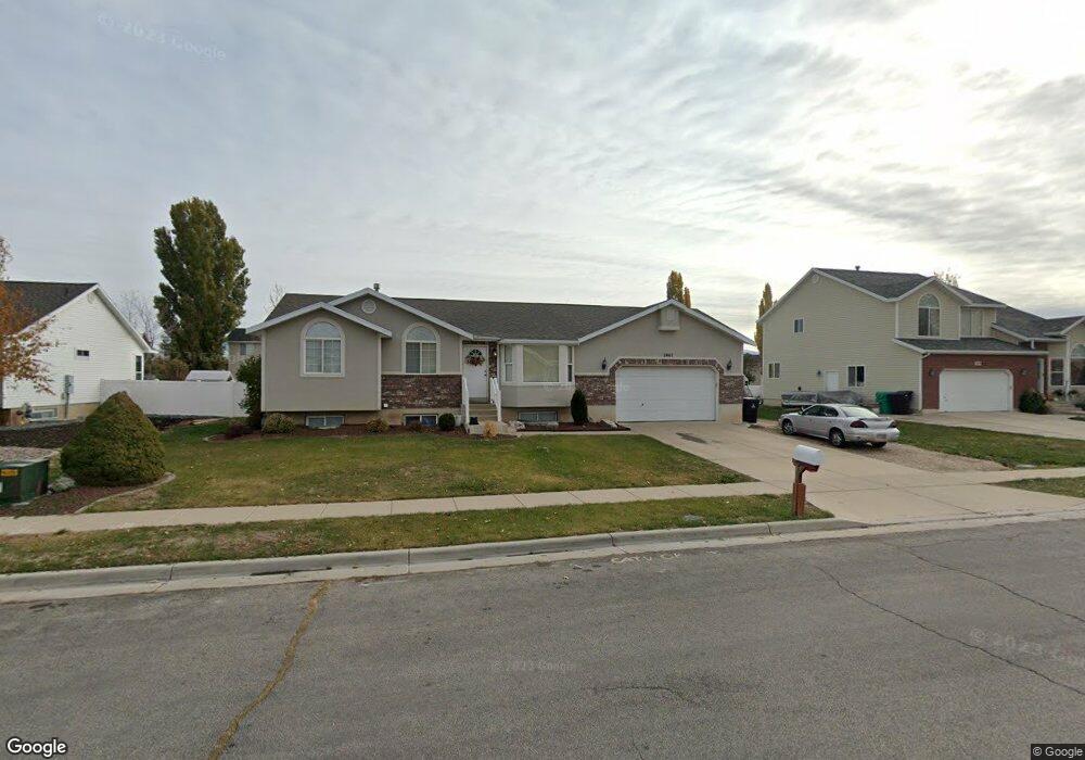
2467 S 1520 W Syracuse, UT 84075
Estimated Value: $498,845 - $535,000
4
Beds
2
Baths
2,528
Sq Ft
$203/Sq Ft
Est. Value
About This Home
This home is located at 2467 S 1520 W, Syracuse, UT 84075 and is currently estimated at $513,961, approximately $203 per square foot. 2467 S 1520 W is a home located in Davis County with nearby schools including Cook School, Legacy Junior High School, and Clearfield High School.
Ownership History
Date
Name
Owned For
Owner Type
Purchase Details
Closed on
Oct 3, 2014
Sold by
Mcgregor Shaun L
Bought by
Rohner Aimee S
Current Estimated Value
Purchase Details
Closed on
Feb 7, 2003
Sold by
Mcgregor Shaun L and Mcgregor Amanda
Bought by
Mcgregor Shaun L
Home Financials for this Owner
Home Financials are based on the most recent Mortgage that was taken out on this home.
Original Mortgage
$159,700
Interest Rate
5.76%
Purchase Details
Closed on
Jun 11, 1997
Sold by
Bingham Sherman T
Bought by
Mcgregor Shaun L and Mcgregor Amanda
Home Financials for this Owner
Home Financials are based on the most recent Mortgage that was taken out on this home.
Original Mortgage
$130,882
Interest Rate
7.98%
Mortgage Type
FHA
Purchase Details
Closed on
Oct 31, 1996
Sold by
Bretwood Co Inc
Bought by
Bingham Sherman T
Create a Home Valuation Report for This Property
The Home Valuation Report is an in-depth analysis detailing your home's value as well as a comparison with similar homes in the area
Home Values in the Area
Average Home Value in this Area
Purchase History
| Date | Buyer | Sale Price | Title Company |
|---|---|---|---|
| Rohner Aimee S | -- | Founders Title Co | |
| Mcgregor Shaun L | -- | United Title Services | |
| Mcgregor Shaun L | -- | Associated Title Company | |
| Bingham Sherman T | -- | Security Title Company |
Source: Public Records
Mortgage History
| Date | Status | Borrower | Loan Amount |
|---|---|---|---|
| Previous Owner | Mcgregor Shaun L | $159,700 | |
| Previous Owner | Mcgregor Shaun L | $130,882 |
Source: Public Records
Tax History Compared to Growth
Tax History
| Year | Tax Paid | Tax Assessment Tax Assessment Total Assessment is a certain percentage of the fair market value that is determined by local assessors to be the total taxable value of land and additions on the property. | Land | Improvement |
|---|---|---|---|---|
| 2025 | $2,571 | $248,050 | $128,486 | $119,564 |
| 2024 | $2,452 | $238,149 | $109,714 | $128,435 |
| 2023 | $2,294 | $223,300 | $83,970 | $139,329 |
| 2022 | $2,483 | $438,000 | $158,920 | $279,080 |
| 2021 | $2,217 | $333,000 | $129,562 | $203,438 |
| 2020 | $1,987 | $289,000 | $111,124 | $177,876 |
| 2019 | $1,957 | $281,000 | $110,748 | $170,252 |
| 2018 | $1,790 | $255,000 | $105,810 | $149,190 |
| 2016 | $1,759 | $131,450 | $40,534 | $90,916 |
| 2015 | $1,684 | $119,845 | $40,534 | $79,311 |
| 2014 | $1,610 | $116,770 | $40,534 | $76,236 |
| 2013 | -- | $102,900 | $33,689 | $69,211 |
Source: Public Records
Map
Nearby Homes
- 1315 W 2325 S
- 1295 W 2325 S
- 1306 W 2325 S
- 1286 W 2325 S
- 2742 S Allison Way Unit 212
- 2355 S 1230 W
- 2480 S 1150 W
- 1196 W 2325 S
- 1667 W 2770 S Unit 206
- 1137 W 2500 S
- 1156 W 2325 S
- 2734 S Allison Way Unit 213
- 1137 W 2275 S
- 2766 S 1200 W
- 1116 W 2325 S
- 1137 2275 S
- 2194 S 1800 W
- 2208 W 2615 S Unit 141
- 2198 W 2615 S Unit 140
- 2232 S 1000 W