2467 State Route 10 Unit 5B Morris Plains, NJ 07950
Estimated Value: $290,700 - $398,000
2
Beds
1
Bath
1,021
Sq Ft
$323/Sq Ft
Est. Value
About This Home
This home is located at 2467 State Route 10 Unit 5B, Morris Plains, NJ 07950 and is currently estimated at $330,175, approximately $323 per square foot. 2467 State Route 10 Unit 5B is a home located in Morris County with nearby schools including Littleton Elementary School, Brooklawn Middle School, and Parsippany Hills High School.
Create a Home Valuation Report for This Property
The Home Valuation Report is an in-depth analysis detailing your home's value as well as a comparison with similar homes in the area
Home Values in the Area
Average Home Value in this Area
Tax History Compared to Growth
Tax History
| Year | Tax Paid | Tax Assessment Tax Assessment Total Assessment is a certain percentage of the fair market value that is determined by local assessors to be the total taxable value of land and additions on the property. | Land | Improvement |
|---|---|---|---|---|
| 2025 | $5,124 | $147,500 | $47,500 | $100,000 |
| 2024 | $5,027 | $147,500 | $47,500 | $100,000 |
| 2023 | $5,027 | $147,500 | $47,500 | $100,000 |
| 2022 | $4,325 | $147,500 | $47,500 | $100,000 |
| 2021 | $4,325 | $147,500 | $47,500 | $100,000 |
| 2020 | $4,549 | $147,500 | $47,500 | $100,000 |
| 2019 | $4,426 | $147,500 | $47,500 | $100,000 |
| 2018 | $4,301 | $147,500 | $47,500 | $100,000 |
| 2017 | $4,204 | $147,500 | $47,500 | $100,000 |
| 2016 | $4,131 | $147,500 | $47,500 | $100,000 |
| 2015 | $4,027 | $147,500 | $47,500 | $100,000 |
| 2014 | $3,968 | $147,500 | $47,500 | $100,000 |
Source: Public Records
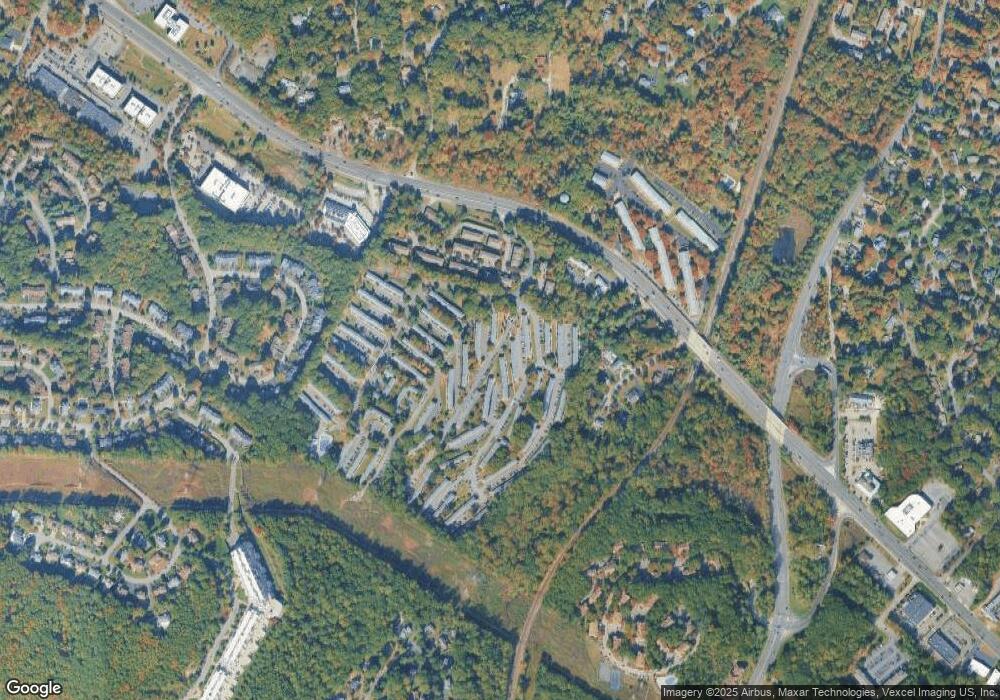
Map
Nearby Homes
- 2467 New Jersey 10 Unit 6A
- 2467 New Jersey 10 Unit 8A
- 2467 New Jersey 10 Unit 4A
- 2467 Route10 Unit 1A
- 2467 State Route 10 Unit 12-7A
- 2467 State Route 10 Unit 3B
- 2467 State Route 10 Unit 7A
- 2467 State Route 10 Unit 6-B
- 2467 State Route 10 Unit 5A
- 2467 State Route 10 Unit 24-6B
- 2467 Route 10 Unit 4A
- 84 Stockton Ct
- 7 J Foxwood Dr Unit J
- 2350 State Route 10 Unit B3
- 2350 New Jersey 10 Unit 3
- 22 A Foxwood Dr Unit A
- 33 Continental Rd
- 11 Laurel St
- 83 Patriots Rd
- 77 S Powder Mill Rd
- 2467 State Route 10 Unit 8A
- 2467 State Route 10 Unit 4A
- 2467 State Route 10 Unit 7A
- 2467 State Route 10 Unit 6A
- 2467 State Route 10 Unit B4
- 2467 State Route 10 Unit 2B
- 2467 State Route 10 Unit 1-A
- 2467 State Route 10 Unit 5A
- 2467 State Route 10 Unit 3B
- 2467 State Route 10 Unit 2A
- 2467 State Route 10 Unit 4B
- 2467 State Route 10 Unit 30-1A
- 2467 Route10 Unit 5
- 2467 Route 10 Unit 5A
- 2467 Route 10 Unit 7B
- 2467 Route 10 Unit B
- 2467 Route10 Unit 7B
- 2467 Route 10 E Unit 5a
- 2467 Route10 Unit 4
- 2467 Route 10 Unit 4A