2468 Highway 86 Calera, AL 35040
South Shelby NeighborhoodEstimated Value: $340,000 - $457,000
--
Bed
2
Baths
2,832
Sq Ft
$142/Sq Ft
Est. Value
About This Home
This home is located at 2468 Highway 86, Calera, AL 35040 and is currently estimated at $402,832, approximately $142 per square foot. 2468 Highway 86 is a home located in Shelby County with nearby schools including Calera Elementary School, Calera Intermediate School, and Calera Middle School.
Ownership History
Date
Name
Owned For
Owner Type
Purchase Details
Closed on
Jun 24, 2021
Sold by
Davenport Harold S and Mattis Sara B
Bought by
Davenport Harold S and Davenport Jamie
Current Estimated Value
Home Financials for this Owner
Home Financials are based on the most recent Mortgage that was taken out on this home.
Original Mortgage
$105,000
Outstanding Balance
$79,722
Interest Rate
2.9%
Mortgage Type
New Conventional
Estimated Equity
$323,110
Purchase Details
Closed on
Jun 16, 2021
Sold by
Davenport Sara B and Mattis Sara B
Bought by
Davenport Harold S and Davenport Jamie
Home Financials for this Owner
Home Financials are based on the most recent Mortgage that was taken out on this home.
Original Mortgage
$105,000
Outstanding Balance
$79,722
Interest Rate
2.9%
Mortgage Type
New Conventional
Estimated Equity
$323,110
Create a Home Valuation Report for This Property
The Home Valuation Report is an in-depth analysis detailing your home's value as well as a comparison with similar homes in the area
Home Values in the Area
Average Home Value in this Area
Purchase History
| Date | Buyer | Sale Price | Title Company |
|---|---|---|---|
| Davenport Harold S | -- | Covius Settlement Svcs Llc | |
| Davenport Harold S | -- | None Listed On Document |
Source: Public Records
Mortgage History
| Date | Status | Borrower | Loan Amount |
|---|---|---|---|
| Open | Davenport Harold S | $105,000 | |
| Closed | Davenport Harold S | $105,000 |
Source: Public Records
Tax History Compared to Growth
Tax History
| Year | Tax Paid | Tax Assessment Tax Assessment Total Assessment is a certain percentage of the fair market value that is determined by local assessors to be the total taxable value of land and additions on the property. | Land | Improvement |
|---|---|---|---|---|
| 2024 | $1,112 | $25,280 | $0 | $0 |
| 2023 | $0 | $22,780 | $0 | $0 |
| 2022 | $0 | $20,800 | $0 | $0 |
| 2021 | $0 | $19,400 | $0 | $0 |
| 2020 | $0 | $19,020 | $0 | $0 |
| 2019 | $0 | $18,600 | $0 | $0 |
| 2017 | $0 | $19,540 | $0 | $0 |
| 2015 | -- | $18,300 | $0 | $0 |
| 2014 | -- | $17,620 | $0 | $0 |
Source: Public Records
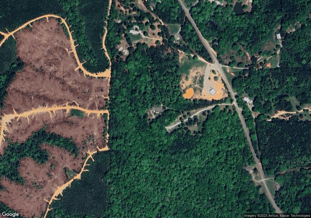
Map
Nearby Homes
- 4434 County Road 86 Unit 1
- 773 County Road 86
- 659 County Road 86
- 773 County Road 86 Unit 4
- 727 County Road 86 Unit 3
- 659 County Road 86 Unit 2
- 625 County Road 86 Unit 1
- 1053 Long Branch Pkwy
- 3016 Long Branch Dr
- 3025 Long Branch Dr
- 1126 Long Branch Pkwy Unit 160
- 562 Cornerstone Dr
- 534 Cornerstone Dr
- 244 High Bridle Cir
- 185 Cornerstone Cir
- 151 High Bridle Cir
- 185 Shelby Springs Farms
- 00 County Road 42 Unit 141-A & 142
- 201 Leray Dr Unit 123
- 201 Leray Dr
- 2392 Highway 86
- 271 Horton Loop
- 272 Horton Loop
- 4500 County Road 86 Unit 1
- 0 County Road 86 Unit 79 AC 420915
- 0 County Road 86 Unit 142 536685
- 0 County Road 86
- 185 Horton Loop
- 2261 Highway 86
- 2175 Highway 86 Unit 142
- 3806 County Road 86 Unit 1
- 34 Horton Loop
- 34 Horton Loop
- 1038 Long Branch Pkwy
- 1034 Long Branch Pkwy
- 1030 Long Branch Pkwy
- 1046 Long Branch Pkwy
- 1042 Long Branch Pkwy
- 1022 Long Branch Pkwy
- 1037 Long Branch Pkwy Unit 113