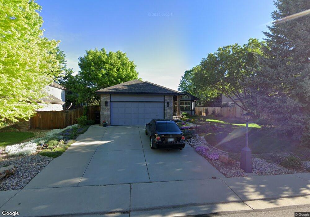
2469 Mapleton Cir Longmont, CO 80503
McIntosh NeighborhoodEstimated Value: $607,323 - $646,000
3
Beds
2
Baths
1,695
Sq Ft
$368/Sq Ft
Est. Value
About This Home
This home is located at 2469 Mapleton Cir, Longmont, CO 80503 and is currently estimated at $623,331, approximately $367 per square foot. 2469 Mapleton Cir is a home located in Boulder County with nearby schools including Hygiene Elementary School, Westview Middle School, and Longmont High School.
Ownership History
Date
Name
Owned For
Owner Type
Purchase Details
Closed on
Dec 16, 1992
Bought by
Martin Michael T and Martin Sheila M
Current Estimated Value
Purchase Details
Closed on
Jul 7, 1992
Bought by
Martin Michael T and Martin Sheila M
Purchase Details
Closed on
Apr 15, 1986
Bought by
Martin Michael T and Martin Sheila M
Purchase Details
Closed on
Mar 12, 1982
Bought by
Martin Michael T and Martin Sheila M
Create a Home Valuation Report for This Property
The Home Valuation Report is an in-depth analysis detailing your home's value as well as a comparison with similar homes in the area
Home Values in the Area
Average Home Value in this Area
Purchase History
| Date | Buyer | Sale Price | Title Company |
|---|---|---|---|
| Martin Michael T | $154,500 | -- | |
| Martin Michael T | $27,000 | -- | |
| Martin Michael T | $365,700 | -- | |
| Martin Michael T | $2,551,800 | -- |
Source: Public Records
Tax History
| Year | Tax Paid | Tax Assessment Tax Assessment Total Assessment is a certain percentage of the fair market value that is determined by local assessors to be the total taxable value of land and additions on the property. | Land | Improvement |
|---|---|---|---|---|
| 2025 | $3,906 | $41,126 | $8,988 | $32,138 |
| 2024 | $3,906 | $41,126 | $8,988 | $32,138 |
| 2023 | $3,852 | $40,830 | $10,023 | $34,492 |
| 2022 | $3,508 | $35,445 | $7,721 | $27,724 |
| 2021 | $3,553 | $36,465 | $7,944 | $28,521 |
| 2020 | $3,096 | $31,868 | $6,435 | $25,433 |
| 2019 | $3,047 | $31,868 | $6,435 | $25,433 |
| 2018 | $2,727 | $28,714 | $6,480 | $22,234 |
| 2017 | $2,690 | $31,744 | $7,164 | $24,580 |
| 2016 | $2,492 | $26,069 | $12,099 | $13,970 |
| 2015 | $2,375 | $21,795 | $5,015 | $16,780 |
| 2014 | $2,036 | $21,795 | $5,015 | $16,780 |
Source: Public Records
Map
Nearby Homes
- 2428 Maplewood Cir W
- 2430 Frontier St
- 9172 Jotipa Dr
- 2650 Westlake Ct
- 2608 Pheasant Dr
- 2612 Pheasant Dr
- 4700 Falcon Dr
- 2057 Falcon Dr
- 12788 Sheramdi St
- 2454 Tulip St
- 2912 Lake Park Way
- 2253 Spinnaker Cir
- 12766 Strawberry Cir
- 2942 Spinnaker Place
- 2034 Sumac St
- 0 Clyde Ct
- 1851 Trevor Cir
- 2116 Addie Rose Ln
- 2138 Daley Dr
- 2109 Daley Dr
- 2473 Mapleton Cir
- 2407 24th Ave
- 2413 24th Ave
- 2401 24th Ave
- 2461 Mapleton Cir
- 2468 Mapleton Cir
- 2474 Mapleton Cir
- 2319 24th Ave
- 2462 Mapleton Cir
- 2457 Mapleton Cir
- 2526 Mapleton Ct
- 2522 Mapleton Ct
- 2313 24th Ave
- 2501 24th Ave
- 2456 Mapleton Cir
- 2318 24th Ave
- 2400 24th Ave
- 2408 Mapleton Cir
- 2312 24th Ave
- 2402 Mapleton Cir
Your Personal Tour Guide
Ask me questions while you tour the home.