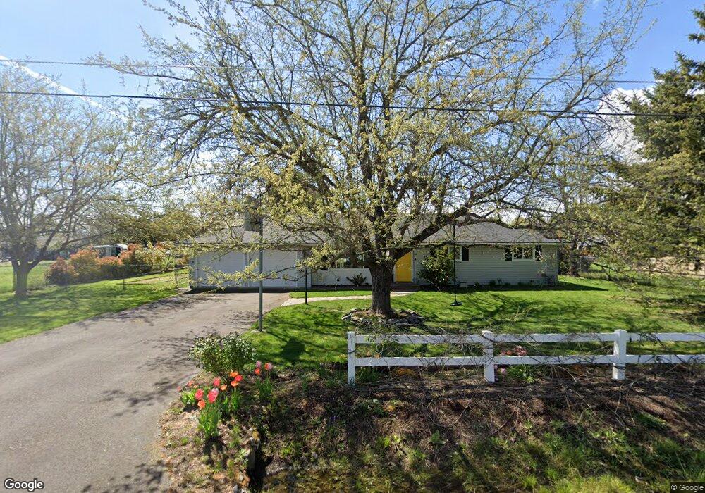
2469 Robin Ln Central Point, OR 97502
Estimated Value: $439,000 - $523,297
3
Beds
2
Baths
1,808
Sq Ft
$269/Sq Ft
Est. Value
About This Home
This home is located at 2469 Robin Ln, Central Point, OR 97502 and is currently estimated at $486,099, approximately $268 per square foot. 2469 Robin Ln is a home located in Jackson County with nearby schools including Richardson Elementary School, Scenic Middle School, and Crater High School.
Ownership History
Date
Name
Owned For
Owner Type
Purchase Details
Closed on
Apr 27, 2015
Sold by
Wood Angela L and Wood Brian E
Bought by
Wood Angela L and Wood Brian E
Current Estimated Value
Home Financials for this Owner
Home Financials are based on the most recent Mortgage that was taken out on this home.
Original Mortgage
$218,000
Outstanding Balance
$148,476
Interest Rate
3.73%
Mortgage Type
New Conventional
Estimated Equity
$337,623
Purchase Details
Closed on
Feb 11, 2008
Sold by
Tacchini Michael F and Tacchini Kathleen C
Bought by
Doss Angela L and Wood Brian E
Home Financials for this Owner
Home Financials are based on the most recent Mortgage that was taken out on this home.
Original Mortgage
$240,000
Interest Rate
6.04%
Mortgage Type
Purchase Money Mortgage
Create a Home Valuation Report for This Property
The Home Valuation Report is an in-depth analysis detailing your home's value as well as a comparison with similar homes in the area
Purchase History
We collect this data history from publicly available records. To have your information removed, we recommend requesting removal directly through your county’s website.
| Date | Buyer | Sale Price | Title Company |
|---|---|---|---|
| Wood Angela L | -- | Fa | |
| Doss Angela L | $300,000 | Lawyers Title Ins |
Source: Public Records
Mortgage History
We collect this data history from publicly available records. To have your information removed, we recommend requesting removal directly through your county’s website.
| Date | Status | Borrower | Loan Amount |
|---|---|---|---|
| Open | Wood Angela L | $218,000 | |
| Closed | Doss Angela L | $240,000 |
Source: Public Records
Tax History
| Year | Tax Paid | Tax Assessment Tax Assessment Total Assessment is a certain percentage of the fair market value that is determined by local assessors to be the total taxable value of land and additions on the property. | Land | Improvement |
|---|---|---|---|---|
| 2026 | $3,692 | $302,440 | -- | -- |
| 2025 | $3,608 | $293,640 | $140,350 | $153,290 |
| 2024 | $3,608 | $285,090 | $92,380 | $192,710 |
| 2023 | $3,488 | $276,790 | $89,690 | $187,100 |
| 2022 | $3,413 | $276,790 | $89,690 | $187,100 |
| 2021 | $3,317 | $268,730 | $87,070 | $181,660 |
| 2020 | $3,220 | $260,910 | $84,530 | $176,380 |
| 2019 | $3,146 | $245,950 | $79,680 | $166,270 |
| 2018 | $3,048 | $238,790 | $77,350 | $161,440 |
| 2017 | $2,976 | $238,790 | $77,350 | $161,440 |
| 2016 | $2,889 | $225,090 | $72,920 | $152,170 |
| 2015 | $2,755 | $225,090 | $72,920 | $152,170 |
| 2014 | $2,689 | $212,180 | $68,730 | $143,450 |
Source: Public Records
Map
Nearby Homes
- 570 Bachand Cir
- 50 Kathryn Ct
- 10 Donna Way
- 296 Brandon St
- 109 Vincent Ave
- 489 Vincent Ave
- 3371 Freeland Rd
- 3200 Hanley Rd
- 3307 Freeland Rd
- 612 Vincent Ave
- 120 Nadine Ln
- 501 Palo Verde Way
- 207 Holiday Ln
- 196 Nadine Ln
- 349 W Pine St
- 359 Jans Ct
- 338 Joseph St
- 871 Holley Way
- 895 Holley Way
- 1019 Rustler Peak St
Your Personal Tour Guide
Ask me questions while you tour the home.