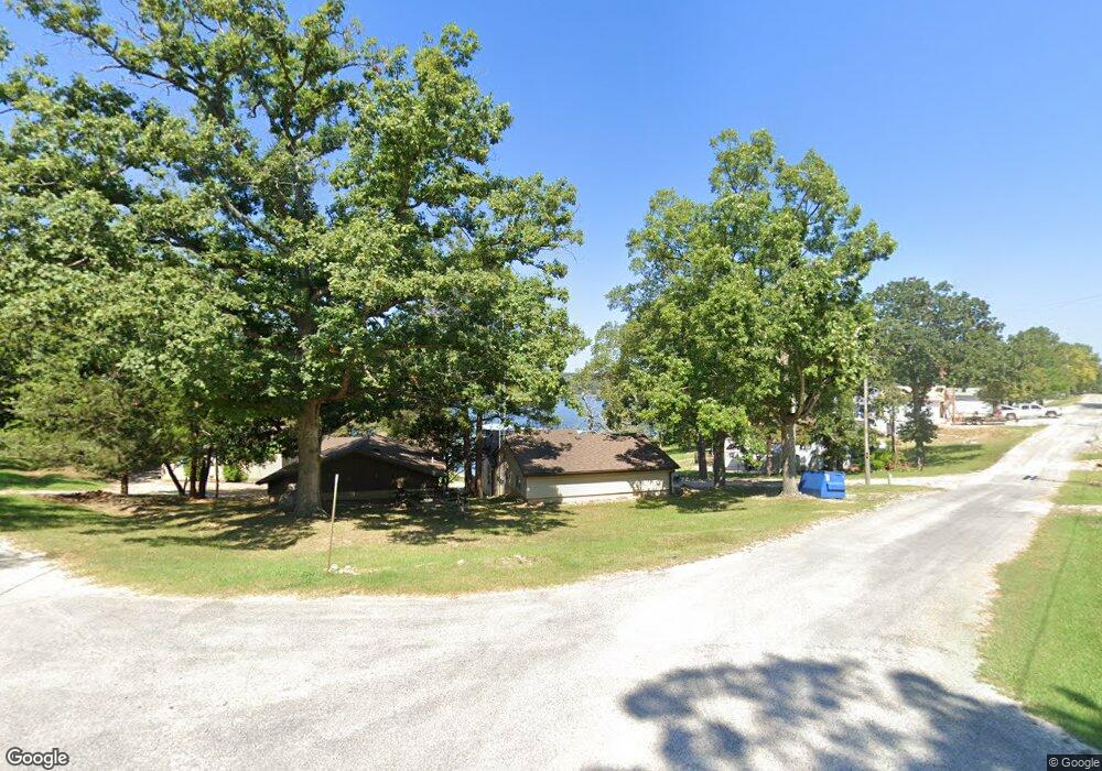
247 3rd St Branson West, MO 65737
Estimated Value: $222,982 - $323,000
2
Beds
2
Baths
1,100
Sq Ft
$247/Sq Ft
Est. Value
About This Home
This home is located at 247 3rd St, Branson West, MO 65737 and is currently estimated at $271,996, approximately $247 per square foot. 247 3rd St is a home located in Stone County with nearby schools including Reeds Spring Primary School, Reeds Spring Elementary School, and Reeds Spring Middle School.
Ownership History
Date
Name
Owned For
Owner Type
Purchase Details
Closed on
Dec 4, 2013
Sold by
Faust Eric P and Faust Eric Paul
Bought by
Abbas Thomas R and Abbas Nancy E
Current Estimated Value
Home Financials for this Owner
Home Financials are based on the most recent Mortgage that was taken out on this home.
Original Mortgage
$138,400
Outstanding Balance
$102,649
Interest Rate
4.17%
Mortgage Type
New Conventional
Estimated Equity
$169,347
Create a Home Valuation Report for This Property
The Home Valuation Report is an in-depth analysis detailing your home's value as well as a comparison with similar homes in the area
Home Values in the Area
Average Home Value in this Area
Purchase History
| Date | Buyer | Sale Price | Title Company |
|---|---|---|---|
| Abbas Thomas R | -- | Hogan Land Title |
Source: Public Records
Mortgage History
| Date | Status | Borrower | Loan Amount |
|---|---|---|---|
| Open | Abbas Thomas R | $138,400 |
Source: Public Records
Tax History
| Year | Tax Paid | Tax Assessment Tax Assessment Total Assessment is a certain percentage of the fair market value that is determined by local assessors to be the total taxable value of land and additions on the property. | Land | Improvement |
|---|---|---|---|---|
| 2025 | $373 | $7,940 | -- | -- |
| 2024 | $373 | $7,620 | -- | -- |
| 2023 | $373 | $7,620 | $0 | $0 |
| 2022 | $371 | $7,620 | $0 | $0 |
| 2021 | $375 | $7,620 | $0 | $0 |
| 2020 | $321 | $7,410 | $0 | $0 |
| 2019 | $320 | $7,410 | $0 | $0 |
| 2018 | $319 | $7,410 | $0 | $0 |
| 2017 | $320 | $7,410 | $0 | $0 |
| 2016 | $311 | $7,410 | $0 | $0 |
| 2015 | $311 | $7,410 | $0 | $0 |
| 2014 | $306 | $7,410 | $0 | $0 |
| 2012 | $307 | $7,410 | $0 | $0 |
Source: Public Records
Map
Nearby Homes
- 55 2nd St
- 150 Log Slide
- 150 Log Slide Tract 1
- 2022 Pokeberry Ln
- 735 Indian Valley Rd
- 478 White Rockbluff Dr
- 245 Foxtrail Dr
- Tbd Lovers Ln
- 000 White Rockbluff
- 133 Dogwood Crest
- 1403 Rocky Shore Terrace
- 1404 Rocky Shore Terrace
- 1302 Rocky Shore Terrace
- 1307 Rocky Shore Terrace
- 1304 Rocky Shore Terrace
- 1303 Rocky Shore Terrace Unit 3
- 1202 Rocky Shore Terrace
- 120 Mocking Jay Ln Unit 119
- 120 Mocking Jay Ln Unit 120
- 50 Ozark Vista Dr Unit F148
Your Personal Tour Guide
Ask me questions while you tour the home.