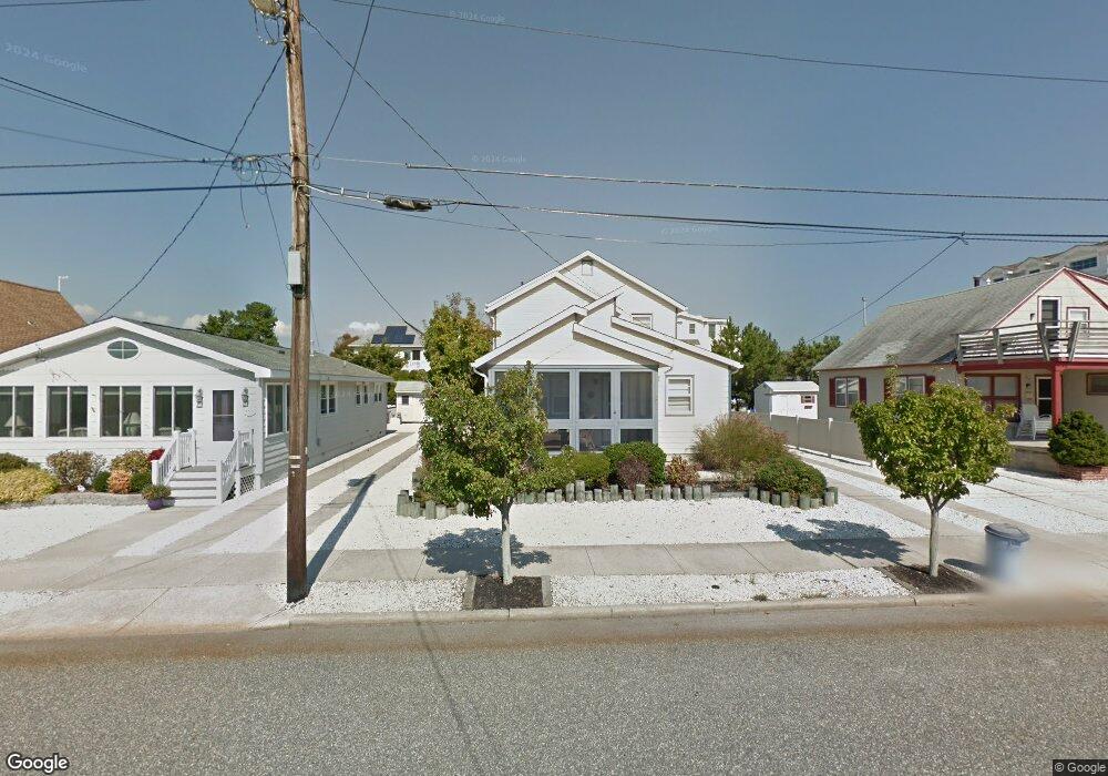
247 43rd St Avalon, NJ 08202
Estimated Value: $2,700,000 - $4,609,000
--
Bed
--
Bath
3,455
Sq Ft
$1,129/Sq Ft
Est. Value
About This Home
This home is located at 247 43rd St, Avalon, NJ 08202 and is currently estimated at $3,899,754, approximately $1,128 per square foot. 247 43rd St is a home located in Cape May County with nearby schools including Avalon Elementary School.
Ownership History
Date
Name
Owned For
Owner Type
Purchase Details
Closed on
May 24, 2002
Sold by
Sabel Richard A
Bought by
Mccabe Joseph A and Mccabe Deborah P
Current Estimated Value
Home Financials for this Owner
Home Financials are based on the most recent Mortgage that was taken out on this home.
Original Mortgage
$300,700
Outstanding Balance
$125,902
Interest Rate
6.81%
Estimated Equity
$3,773,852
Purchase Details
Closed on
Jun 25, 1990
Sold by
Sabel Richard A and Sabel Mary E
Bought by
Sabel Richard A
Create a Home Valuation Report for This Property
The Home Valuation Report is an in-depth analysis detailing your home's value as well as a comparison with similar homes in the area
Home Values in the Area
Average Home Value in this Area
Purchase History
| Date | Buyer | Sale Price | Title Company |
|---|---|---|---|
| Mccabe Joseph A | $655,900 | -- | |
| Sabel Richard A | -- | -- |
Source: Public Records
Mortgage History
| Date | Status | Borrower | Loan Amount |
|---|---|---|---|
| Open | Mccabe Joseph A | $300,700 |
Source: Public Records
Tax History Compared to Growth
Tax History
| Year | Tax Paid | Tax Assessment Tax Assessment Total Assessment is a certain percentage of the fair market value that is determined by local assessors to be the total taxable value of land and additions on the property. | Land | Improvement |
|---|---|---|---|---|
| 2025 | $13,549 | $2,206,600 | $950,000 | $1,256,600 |
| 2024 | $13,549 | $2,206,600 | $950,000 | $1,256,600 |
| 2023 | $13,438 | $2,206,600 | $950,000 | $1,256,600 |
| 2022 | $12,533 | $2,206,600 | $950,000 | $1,256,600 |
| 2021 | $12,070 | $2,206,600 | $950,000 | $1,256,600 |
| 2020 | $11,607 | $2,206,600 | $950,000 | $1,256,600 |
| 2019 | $4,845 | $950,000 | $950,000 | $0 |
| 2018 | $4,636 | $950,000 | $950,000 | $0 |
| 2017 | $4,184 | $752,500 | $687,500 | $65,000 |
| 2016 | $4,139 | $752,500 | $687,500 | $65,000 |
| 2015 | $4,071 | $752,500 | $687,500 | $65,000 |
| 2014 | $4,026 | $752,500 | $687,500 | $65,000 |
Source: Public Records
Map
Nearby Homes