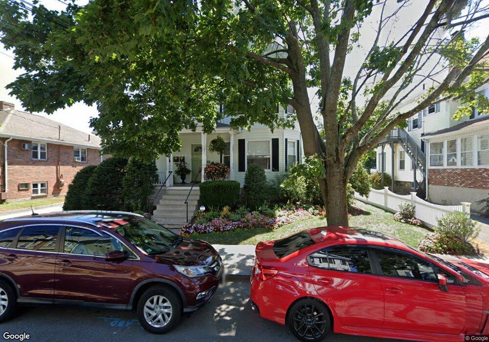
247 Ash St Unit 2 Waltham, MA 02453
South Side NeighborhoodEstimated Value: $532,000 - $617,000
2
Beds
2
Baths
1,150
Sq Ft
$498/Sq Ft
Est. Value
About This Home
This home is located at 247 Ash St Unit 2, Waltham, MA 02453 and is currently estimated at $572,687, approximately $497 per square foot. 247 Ash St Unit 2 is a home located in Middlesex County with nearby schools including Henry Whittemore Elementary School, John W. Mcdevitt Middle School, and Waltham Sr High School.
Ownership History
Date
Name
Owned For
Owner Type
Purchase Details
Closed on
Feb 16, 2010
Sold by
E & B Rt
Bought by
Biloskirka M Roxanne
Current Estimated Value
Home Financials for this Owner
Home Financials are based on the most recent Mortgage that was taken out on this home.
Original Mortgage
$160,000
Outstanding Balance
$106,369
Interest Rate
5.12%
Mortgage Type
Purchase Money Mortgage
Estimated Equity
$466,318
Create a Home Valuation Report for This Property
The Home Valuation Report is an in-depth analysis detailing your home's value as well as a comparison with similar homes in the area
Home Values in the Area
Average Home Value in this Area
Purchase History
| Date | Buyer | Sale Price | Title Company |
|---|---|---|---|
| Biloskirka M Roxanne | $311,500 | -- |
Source: Public Records
Mortgage History
| Date | Status | Borrower | Loan Amount |
|---|---|---|---|
| Open | Biloskirka M Roxanne | $160,000 |
Source: Public Records
Tax History
| Year | Tax Paid | Tax Assessment Tax Assessment Total Assessment is a certain percentage of the fair market value that is determined by local assessors to be the total taxable value of land and additions on the property. | Land | Improvement |
|---|---|---|---|---|
| 2025 | $4,120 | $419,600 | $0 | $419,600 |
| 2024 | $3,977 | $412,500 | $0 | $412,500 |
| 2023 | $4,082 | $395,500 | $0 | $395,500 |
| 2022 | $4,286 | $384,700 | $0 | $384,700 |
| 2021 | $4,111 | $363,200 | $0 | $363,200 |
| 2020 | $4,019 | $336,300 | $0 | $336,300 |
| 2019 | $3,646 | $288,000 | $0 | $288,000 |
| 2018 | $3,632 | $288,000 | $0 | $288,000 |
| 2017 | $3,617 | $288,000 | $0 | $288,000 |
| 2016 | $3,525 | $288,000 | $0 | $288,000 |
| 2015 | $3,763 | $286,600 | $0 | $286,600 |
Source: Public Records
Map
Nearby Homes
- 138 Myrtle St Unit 2
- 215 Ash St Unit 3
- 308 Newton St Unit 1
- 24 Tolman St Unit 2
- 198 Lowell St Unit 1
- 169 Chestnut St Unit 2
- 231 Lowell St Unit 2
- 103 Cushing St Unit 4
- 8 Acorn St Unit 10
- 54-56 Noble St
- 227-229 Newton St
- 10 Washington Ave Unit 3
- 26 Friend St
- 76 Taft Ave
- 76 Taft Ave Unit 2
- 76 Taft Ave Unit 1
- 61 Hall St Unit PH 15
- 11 Derby St
- 21-23 Lowell St
- 148 Waltham St
- 247 Ash St
- 247 Ash St Unit 1
- 249 Ash St Unit 3
- 249 Ash St Unit 2
- 239 Ash St
- 243 Ash St Unit 3
- 253 Ash St
- 253 Ash St
- 253 Ash St Unit Ash St
- 253 Ash St Unit 2
- 237 Ash St
- 248 Brown St Unit 250
- 248 Brown St Unit 2
- 248 Ash St Unit 3
- 248 Ash St Unit 1
- 248 Ash St
- 246 Ash St
- 240-242 Brown St Unit 242
- 252 Brown St Unit 254
- 252 Brown St Unit 2
Your Personal Tour Guide
Ask me questions while you tour the home.