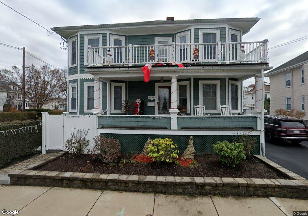
247 Beach St Quincy, MA 02170
Wollaston NeighborhoodEstimated Value: $990,000 - $1,112,000
6
Beds
2
Baths
2,768
Sq Ft
$385/Sq Ft
Est. Value
About This Home
This home is located at 247 Beach St, Quincy, MA 02170 and is currently estimated at $1,065,310, approximately $384 per square foot. 247 Beach St is a home located in Norfolk County with nearby schools including Beechwood Knoll Elementary School, Atlantic Middle School, and North Quincy High School.
Ownership History
Date
Name
Owned For
Owner Type
Purchase Details
Closed on
Oct 14, 2021
Sold by
Dumas John P and Dumas Margaret S
Bought by
John Dumas 2021 T
Current Estimated Value
Purchase Details
Closed on
Jul 30, 2018
Sold by
Dumas Margaret S and Dumas John P
Bought by
Dumas Ft
Purchase Details
Closed on
Jun 18, 1993
Sold by
Repoff William M and Repoff Teresa A
Bought by
Cosgrove Margaret
Create a Home Valuation Report for This Property
The Home Valuation Report is an in-depth analysis detailing your home's value as well as a comparison with similar homes in the area
Home Values in the Area
Average Home Value in this Area
Purchase History
| Date | Buyer | Sale Price | Title Company |
|---|---|---|---|
| John Dumas 2021 T | -- | None Available | |
| Dumas John P | -- | None Available | |
| Dumas Ft | -- | -- | |
| Cosgrove Margaret | $170,000 | -- |
Source: Public Records
Mortgage History
| Date | Status | Borrower | Loan Amount |
|---|---|---|---|
| Previous Owner | Cosgrove Margaret | $258,000 | |
| Previous Owner | Cosgrove Margaret | $280,000 | |
| Previous Owner | Cosgrove Margaret | $198,700 |
Source: Public Records
Tax History
| Year | Tax Paid | Tax Assessment Tax Assessment Total Assessment is a certain percentage of the fair market value that is determined by local assessors to be the total taxable value of land and additions on the property. | Land | Improvement |
|---|---|---|---|---|
| 2025 | $11,395 | $988,300 | $348,800 | $639,500 |
| 2024 | $10,933 | $970,100 | $348,800 | $621,300 |
| 2023 | $10,394 | $933,900 | $332,100 | $601,800 |
| 2022 | $10,067 | $840,300 | $265,700 | $574,600 |
| 2021 | $10,253 | $844,600 | $265,700 | $578,900 |
| 2020 | $10,022 | $806,300 | $265,700 | $540,600 |
| 2019 | $9,507 | $757,500 | $248,300 | $509,200 |
| 2018 | $8,834 | $662,200 | $225,700 | $436,500 |
| 2017 | $9,048 | $638,500 | $225,700 | $412,800 |
| 2016 | $7,999 | $557,000 | $205,200 | $351,800 |
| 2015 | $7,525 | $515,400 | $186,600 | $328,800 |
| 2014 | $6,503 | $437,600 | $177,700 | $259,900 |
Source: Public Records
Map
Nearby Homes
- 28 Apthorp St
- 11 Gould St
- 10 W Elm Ave
- 27 Herbert Rd
- 20 Ellington Rd
- 9 Chick St
- 19 Bass St
- 10 Weston Ave Unit 322
- 135 E Squantum St
- 297 Billings St
- 85 E Squantum St Unit 10
- 17 Holmes St Unit 204
- 17 Holmes St Unit 2
- 17 Holmes St Unit 1
- 201 Billings St
- 271 Atlantic St
- 107 Fayette St
- 163 Clay St Unit 3
- 267-269 Farrington St
- 98 Safford St
- 327 Billings Rd
- 241 Beach St
- 315 Billings Rd
- 108 Bromfield St Unit 4
- 108 Bromfield St
- 108 Bromfield St Unit 1
- 108 Bromfield St Unit 3
- 108 Bromfield St Unit 2
- 238 Beach St
- 98 Bromfield St
- 235 Beach St
- 235 Beach St Unit 1
- 257 Beach St
- 311 Billings Rd
- 328 Billings Rd
- 96 Bromfield St
- 231 Beach St
- 332 Billings Rd
- 234 Beach St
- 320 Billings Rd
Your Personal Tour Guide
Ask me questions while you tour the home.