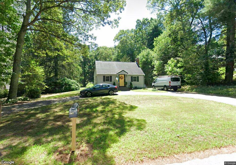
247 Bennett St Wrentham, MA 02093
Estimated Value: $331,000 - $508,274
3
Beds
1
Bath
1,067
Sq Ft
$429/Sq Ft
Est. Value
About This Home
This home is located at 247 Bennett St, Wrentham, MA 02093 and is currently estimated at $458,069, approximately $429 per square foot. 247 Bennett St is a home located in Norfolk County with nearby schools including Delaney Elementary School and Charles E Roderick.
Ownership History
Date
Name
Owned For
Owner Type
Purchase Details
Closed on
Feb 14, 1978
Bought by
Smith Robert J and Smith Joyce
Current Estimated Value
Create a Home Valuation Report for This Property
The Home Valuation Report is an in-depth analysis detailing your home's value as well as a comparison with similar homes in the area
Home Values in the Area
Average Home Value in this Area
Purchase History
| Date | Buyer | Sale Price | Title Company |
|---|---|---|---|
| Smith Robert J | -- | -- |
Source: Public Records
Mortgage History
| Date | Status | Borrower | Loan Amount |
|---|---|---|---|
| Closed | Smith Robert J | $55,000 | |
| Closed | Smith Robert J | $45,000 |
Source: Public Records
Tax History Compared to Growth
Tax History
| Year | Tax Paid | Tax Assessment Tax Assessment Total Assessment is a certain percentage of the fair market value that is determined by local assessors to be the total taxable value of land and additions on the property. | Land | Improvement |
|---|---|---|---|---|
| 2025 | $5,816 | $501,800 | $299,700 | $202,100 |
| 2024 | $5,622 | $468,500 | $299,700 | $168,800 |
| 2023 | $5,283 | $418,600 | $272,500 | $146,100 |
| 2022 | $5,154 | $377,000 | $254,000 | $123,000 |
| 2021 | $4,764 | $338,600 | $221,700 | $116,900 |
| 2020 | $4,711 | $330,600 | $197,200 | $133,400 |
| 2019 | $4,573 | $323,900 | $197,200 | $126,700 |
| 2018 | $4,486 | $315,000 | $197,300 | $117,700 |
| 2017 | $4,258 | $298,800 | $193,500 | $105,300 |
| 2016 | $4,158 | $291,200 | $187,900 | $103,300 |
| 2015 | $4,082 | $272,500 | $180,600 | $91,900 |
| 2014 | $4,014 | $262,200 | $173,700 | $88,500 |
Source: Public Records
Map
Nearby Homes
- 791 South St Unit 5
- 440 Chestnut St
- 50 Green St
- Lot 1 - Blueberry 2 Car Plan at King Philip Estates
- Lot 8 - Blueberry 2 Car Plan at King Philip Estates
- Lot 5 - Hughes 2 car Plan at King Philip Estates
- Lot 6 - Blueberry 3 Car Plan at King Philip Estates
- Lot 2 - Camden 2 Car Plan at King Philip Estates
- Lot 7 - Cedar Plan at King Philip Estates
- Lot 4 - Hemingway 2 Car Plan at King Philip Estates
- Lot 3 - Blueberry 2 Car Plan at King Philip Estates
- 80 Carriage House Ln
- Lot 3 - 14 Earle Stewart Ln
- 11 Earle Stewart Ln
- 131 Creek St Unit 7
- 1204 South St
- 1222 South St
- 955 Summer St
- 319 Taunton St
- 570 Franklin St