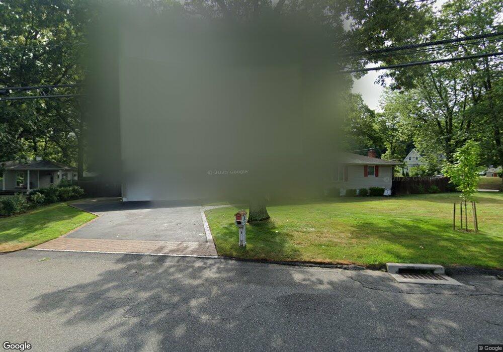
247 Blue Point Rd Selden, NY 11784
Estimated Value: $557,000 - $618,000
3
Beds
1
Bath
1,574
Sq Ft
$369/Sq Ft
Est. Value
About This Home
This home is located at 247 Blue Point Rd, Selden, NY 11784 and is currently estimated at $580,345, approximately $368 per square foot. 247 Blue Point Rd is a home located in Suffolk County with nearby schools including Long Island Baptist Academy.
Ownership History
Date
Name
Owned For
Owner Type
Purchase Details
Closed on
Jan 27, 2020
Sold by
Guy Allen T and Allen Rosemary J
Bought by
Guy Allen Irt
Current Estimated Value
Purchase Details
Closed on
Oct 14, 2014
Sold by
Rogers Thomas F and Billotti Caroline
Bought by
Allen Guy T and Allen Rosemary J
Home Financials for this Owner
Home Financials are based on the most recent Mortgage that was taken out on this home.
Original Mortgage
$127,000
Interest Rate
3.23%
Mortgage Type
New Conventional
Purchase Details
Closed on
Jan 12, 1996
Sold by
Rodenburg Margaret
Bought by
Rodenburg Edward H
Create a Home Valuation Report for This Property
The Home Valuation Report is an in-depth analysis detailing your home's value as well as a comparison with similar homes in the area
Home Values in the Area
Average Home Value in this Area
Purchase History
| Date | Buyer | Sale Price | Title Company |
|---|---|---|---|
| Guy Allen Irt | -- | None Available | |
| Allen Guy T | $224,000 | Priority One Title Agency | |
| Rodenburg Edward H | -- | Fidelity National Title Ins |
Source: Public Records
Mortgage History
| Date | Status | Borrower | Loan Amount |
|---|---|---|---|
| Previous Owner | Allen Guy T | $127,000 |
Source: Public Records
Tax History
| Year | Tax Paid | Tax Assessment Tax Assessment Total Assessment is a certain percentage of the fair market value that is determined by local assessors to be the total taxable value of land and additions on the property. | Land | Improvement |
|---|---|---|---|---|
| 2024 | $9,404 | $2,432 | $340 | $2,092 |
| 2023 | $9,404 | $2,432 | $340 | $2,092 |
| 2022 | $8,214 | $2,432 | $340 | $2,092 |
| 2021 | $8,214 | $2,432 | $340 | $2,092 |
| 2020 | $7,229 | $2,432 | $340 | $2,092 |
| 2019 | $7,229 | $0 | $0 | $0 |
| 2018 | $8,025 | $2,432 | $340 | $2,092 |
| 2017 | $8,025 | $2,432 | $340 | $2,092 |
| 2016 | $7,827 | $2,390 | $340 | $2,050 |
| 2015 | -- | $2,390 | $340 | $2,050 |
| 2014 | -- | $2,390 | $340 | $2,050 |
Source: Public Records
Map
Nearby Homes
- 222 Blue Point Rd
- 23 Foxboro Ave
- 59 Lidge Dr
- 14 Clearview Ave
- 19 Summit Place
- 63 Beech Ave
- 95 Berkshire Dr
- 16 Hillside Rd
- 17 Oneida Ave
- 76 Hollywood Ave
- 129 Berkshire Dr
- 90 Blue Point Rd
- 4 Highland Ave
- 1 Ferndale Ave
- 0 Iroquois Ave
- 50 Laurelton Ave
- 44 Elder Ave
- 211 Mooney Pond Rd
- 40 Inwood Ave
- 21 John Dr
- 89 Ridgewood Ave
- 87 Ridgewood Ave
- 244 Blue Point Rd
- 98 Ridgewood Ave
- 94 Ridgewood Ave
- 274 Blue Point Rd
- 246 Blue Point Rd
- 85 Ridgewood Ave
- 250 Blue Point Rd
- 240 Blue Point Rd
- 88 Ridgewood Ave
- 86 Ridgewood Ave
- 10 Locust Ave
- 14 Pinecrest Place
- 12 Pinecrest Place
- 97 Clearview Ave
- 82 Ridgewood Ave
- 8 Pinecrest Place
- 95 Clearview Ave
Your Personal Tour Guide
Ask me questions while you tour the home.