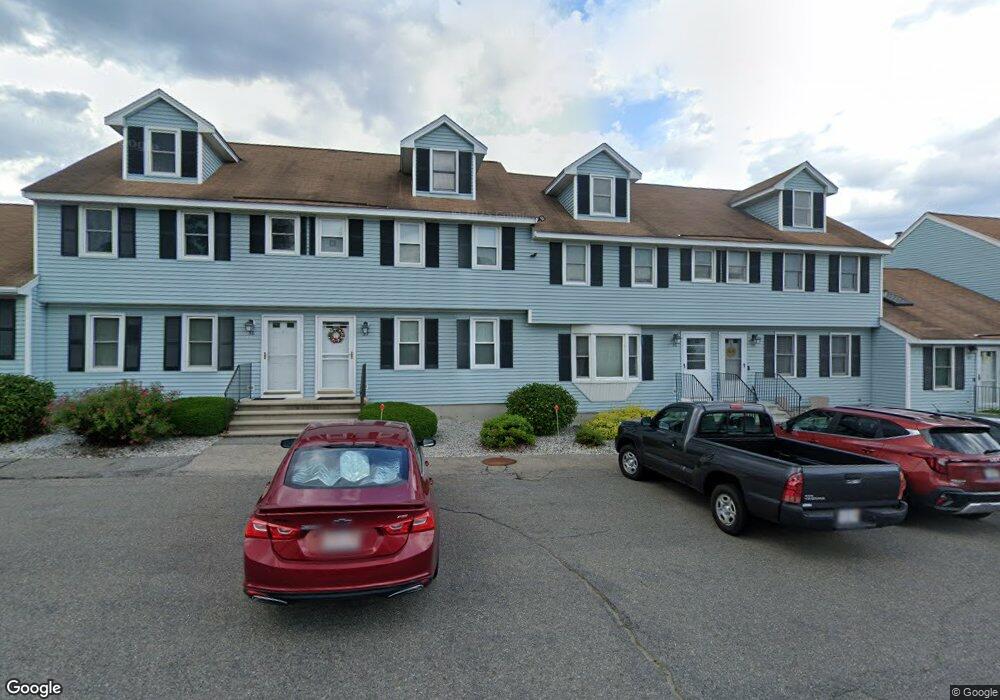
247 Broadway Rd Unit 35 Dracut, MA 01826
Estimated Value: $324,000 - $368,000
About This Home
This home is located at 247 Broadway Rd Unit 35, Dracut, MA 01826 and is currently estimated at $344,213, approximately $377 per square foot. 247 Broadway Rd Unit 35 is a home located in Middlesex County with nearby schools including Greenmont Avenue School, Richardson Middle School, and Dracut Senior High School.
Ownership History
We collect this data history from publicly available records. To have your information removed, we recommend requesting removal directly through your county’s website.
Purchase Details
Purchase Details
Home Values in the Area
Average Home Value in this Area
Purchase History
We collect this data history from publicly available records. To have your information removed, we recommend requesting removal directly through your county’s website.
| Date | Buyer | Sale Price | Title Company |
|---|---|---|---|
| -- | None Available | ||
| $73,200 | -- |
Mortgage History
We collect this data history from publicly available records. To have your information removed, we recommend requesting removal directly through your county’s website.
| Date | Status | Borrower | Loan Amount |
|---|---|---|---|
| Closed | $15,000 | ||
| Closed | $87,000 | ||
| Closed | $34,500 | ||
| Closed | $15,000 | ||
| Closed | $43,000 | ||
| Closed | $10,000 | ||
| Closed | $57,900 |
Tax History
We collect this data history from publicly available records. To have your information removed, we recommend requesting removal directly through your county’s website.
| Year | Tax Paid | Tax Assessment Tax Assessment Total Assessment is a certain percentage of the fair market value that is determined by local assessors to be the total taxable value of land and additions on the property. | Land | Improvement |
|---|---|---|---|---|
| 2025 | $3,124 | $308,700 | $0 | $308,700 |
| 2024 | $3,088 | $295,500 | $0 | $295,500 |
| 2023 | $3,344 | $288,800 | $0 | $288,800 |
| 2022 | $3,203 | $260,600 | $0 | $260,600 |
| 2021 | $2,763 | $212,400 | $0 | $212,400 |
| 2020 | $2,654 | $198,800 | $0 | $198,800 |
| 2019 | $2,476 | $180,100 | $0 | $180,100 |
| 2018 | $2,644 | $187,000 | $0 | $187,000 |
| 2017 | $2,535 | $187,000 | $0 | $187,000 |
| 2016 | $2,352 | $158,500 | $0 | $158,500 |
| 2015 | $2,251 | $150,800 | $0 | $150,800 |
| 2014 | $1,771 | $122,200 | $0 | $122,200 |
Map
- 23 Fox Hill Ln Unit 23
- 341 Broadway Rd
- 103 Meadow Creek Dr
- 10 Lanseigne St
- 58 Leo Ave
- 1544 Bridge St
- 207 Trout Brook Rd
- 15 Frank St Unit 1
- 50 Frank St Unit 50
- 13 Esther Way Unit 7
- 1315 Bridge St
- 95 Lillian Terrace
- 15 Esther Way Unit Lot 8
- 668 Robbins Ave Unit 3
- 175 Willard St Unit 8
- 271 Humphrey St Unit 16
- 650 Robbins Ave Unit 39
- 15 Wildwood St Unit B19
- 14 Wesley St
- 144 Thissell Ave Unit 15
- 247 Broadway Rd Unit 44
- 247 Broadway Rd Unit 43
- 247 Broadway Rd Unit 42
- 247 Broadway Rd Unit 41
- 247 Broadway Rd Unit 40
- 247 Broadway Rd Unit 38
- 247 Broadway Rd Unit 37
- 247 Broadway Rd Unit 36
- 247 Broadway Rd Unit 34
- 247 Broadway Rd Unit 33
- 247 Broadway Rd Unit 32
- 247 Broadway Rd Unit 247-34
- 247 Broadway Rd Unit 38,247
- 247 Broadway Rd Unit 39 247
- 247 Broadway Rd Unit 42 247
- 247 Broadway Rd Unit 247
- 261 Broadway Rd Unit 30
- 261 Broadway Rd Unit 29
- 261 Broadway Rd Unit 28
- 261 Broadway Rd Unit 27
Ask me questions while you tour the home.