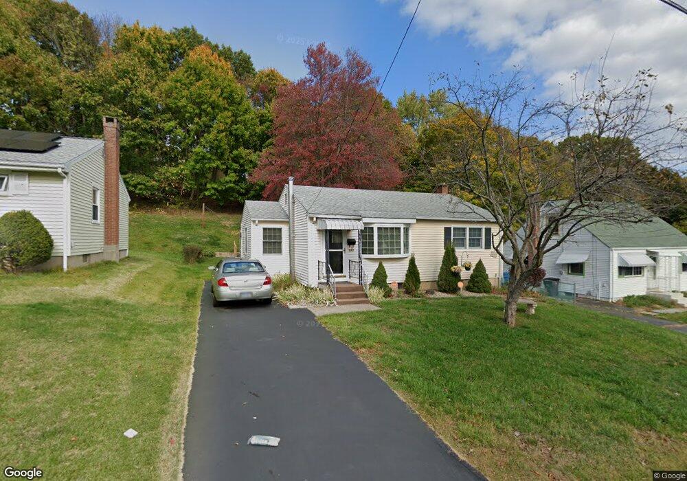
247 Cianci Rd New Britain, CT 06053
Estimated Value: $268,000 - $440,600
3
Beds
1
Bath
928
Sq Ft
$341/Sq Ft
Est. Value
About This Home
This home is located at 247 Cianci Rd, New Britain, CT 06053 and is currently estimated at $316,400, approximately $340 per square foot. 247 Cianci Rd is a home located in Hartford County with nearby schools including Holmes School, Pulaski Middle School, and St. Francis of Assisi Middle School.
Ownership History
Date
Name
Owned For
Owner Type
Purchase Details
Closed on
Jun 15, 2022
Sold by
Fusick Michael V
Bought by
Charest Michael R
Current Estimated Value
Home Financials for this Owner
Home Financials are based on the most recent Mortgage that was taken out on this home.
Original Mortgage
$313,500
Outstanding Balance
$297,445
Interest Rate
5.27%
Mortgage Type
Purchase Money Mortgage
Estimated Equity
$18,956
Create a Home Valuation Report for This Property
The Home Valuation Report is an in-depth analysis detailing your home's value as well as a comparison with similar homes in the area
Home Values in the Area
Average Home Value in this Area
Purchase History
| Date | Buyer | Sale Price | Title Company |
|---|---|---|---|
| Charest Michael R | $351,000 | None Available | |
| Charest Michael R | $351,000 | None Available |
Source: Public Records
Mortgage History
| Date | Status | Borrower | Loan Amount |
|---|---|---|---|
| Open | Charest Michael R | $313,500 | |
| Closed | Charest Michael R | $313,500 |
Source: Public Records
Tax History Compared to Growth
Tax History
| Year | Tax Paid | Tax Assessment Tax Assessment Total Assessment is a certain percentage of the fair market value that is determined by local assessors to be the total taxable value of land and additions on the property. | Land | Improvement |
|---|---|---|---|---|
| 2025 | $5,406 | $137,970 | $60,620 | $77,350 |
| 2024 | $5,462 | $137,970 | $60,620 | $77,350 |
| 2023 | $5,281 | $137,970 | $60,620 | $77,350 |
| 2022 | $4,331 | $87,500 | $27,930 | $59,570 |
| 2021 | $4,331 | $87,500 | $27,930 | $59,570 |
| 2020 | $4,419 | $87,500 | $27,930 | $59,570 |
| 2019 | $4,419 | $87,500 | $27,930 | $59,570 |
| 2018 | $4,419 | $87,500 | $27,930 | $59,570 |
| 2017 | $4,235 | $83,860 | $25,480 | $58,380 |
| 2016 | $4,235 | $83,860 | $25,480 | $58,380 |
| 2015 | $4,109 | $83,860 | $25,480 | $58,380 |
| 2014 | $4,109 | $83,860 | $25,480 | $58,380 |
Source: Public Records
Map
Nearby Homes
- 57 Merigold Dr
- 90 Country Club Rd
- 187 Miriam Rd
- 55 Alexander Rd
- 192 Blodgett Roy Dr
- 164 Brittany Farms Rd Unit A
- 910 Farmington Ave
- 198 Brittany Farms Rd Unit D
- 180 Batterson Park Rd
- 182 Batterson Park Rd
- 34 Hutchinson St
- 29 Bradford Walk Unit 29
- 83 Kim Dr
- 84 Barbour Rd
- 135 Village Square Dr Unit 1
- 79 Helen Dr
- 2453 Corbin Ave
- 258 Eddy Glover Blvd
- 67 Eastwick Rd
- 1114 Fienemann Rd
- 241 Cianci Rd
- 253 Cianci Rd
- 235 Cianci Rd
- 262 Alexander Rd
- 257 Cianci Rd
- 250 Alexander Rd
- 268 Alexander Rd
- 229 Cianci Rd
- 244 Alexander Rd
- 274 Alexander Rd
- 223 Cianci Rd
- 238 Alexander Rd
- 246 Cianci Rd
- 252 Cianci Rd
- 240 Cianci Rd
- 217 Cianci Rd
- 232 Alexander Rd
- 269 Cianci Rd
- 234 Cianci Rd
- 288 Alexander Rd